Login

Zapomniałeś swój login?

Cookies have to be accepted!
Your browser's cookie functionality is disabled. Please enable this functionality.

Not a member yet?

Register now
Login

Available for registred users only

Log in to use this feature.

Zapomniałeś swój login?

Cookies have to be accepted!
Your browser's cookie functionality is disabled. Please enable this functionality.

Not a member yet?

Register now
Filter
Kategorie
Advanced filters
  • Długość (km)
  • Wysokość
Zapisz filtr Reset filter

TrackRank

QRCode

Technical data

Długość23,2 km Wysokość142 m Way down234 m Czas trwania00:00 h:m Data26.06.2005
Oceny Author Krajobraz Czynnik zadowolenia Kondycja Technika

Statystyka

928 Widoki Oceny 144 Downloads / Pliki do pobrania Przeciętnie
Rate
  • Karta trasy
  • Dojazd
  • Downloads / Pliki do pobrania
Kirchberg (Abzweigung zur Bahnhaltestelle Kirchberg/Thürnau) - Schauersfreiling - Axberg - Forst - Polsing - Fraham - Eferding - Hinzenbach - Pupping
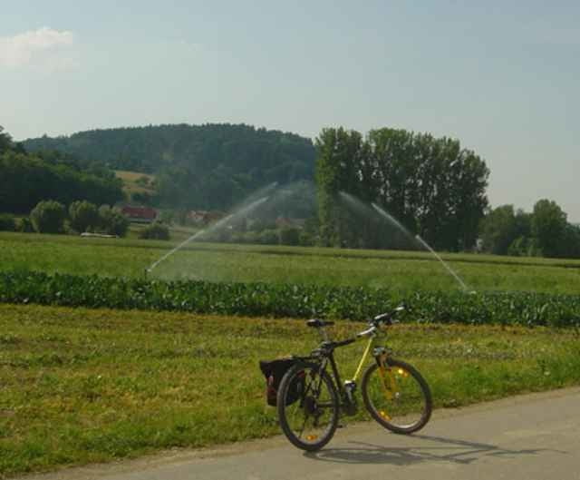
Galeria trasy

Mapa trasy i profil wysokości

  • Open Street Map
  • Google
Minimum height 268 m Maximum height 426 m Widok szczegółowy

More about the tour author

rail-com

Komentarze

Eferdinger Lokalbahn (LILO) bis Haltestelle Kirchberg/Thürnau

GPS tracks

Trackpoints
  • GPX / Garmin Map Source (gpx) download
  • TCX / Garmin Training Center® (tcx) download
  • CRS / Garmin Training Center® (crs) download
  • Google Earth (kml) download
  • G7ToWin (g7t) download
  • TTQV (trk) download
  • Overlay (ovl) download
  • Fugawi (txt) download
  • Kompass (DAV) Track (tk) download
  • Karta trasy (pdf) download

More about the tour author

rail-com

Share track
Add to my favorites
Remove from my favorites
Edit tags
My score
Rate
Trasa: Eferdinger Landl-Weg R10 Teil 2
Rodzaj: Trasy rowerowe
Długość: 23,2 km
Evaluated on:
Czas trwania:
Day(s)
Hour(s)
Minute(s)
Ocena: Krajobraz Czynnik zadowolenia Kondycja Technika