


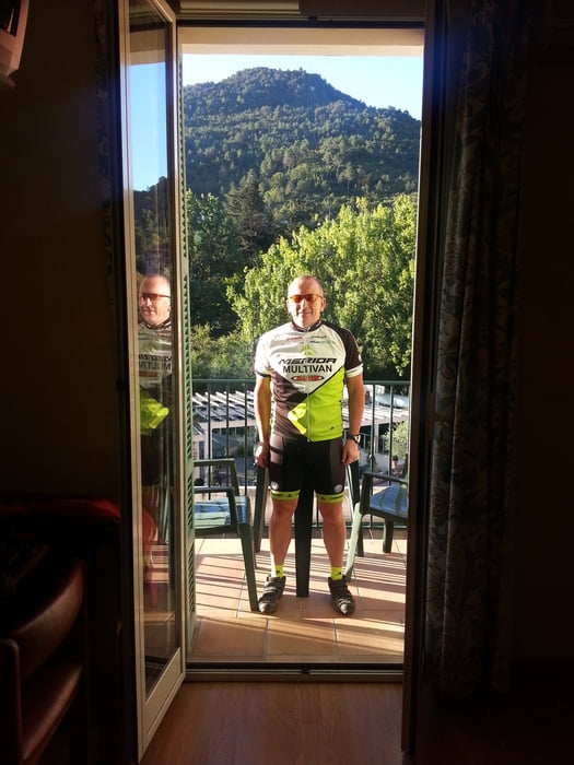
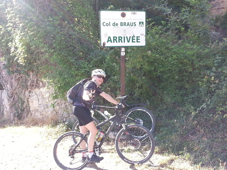
Bei besten Wetter geht es heute nach Roquebrune-Cap-Martin, gleich neben Menton ans Meer. Start im Hotel des Etrangers wo eine Reisebus Gruppe schon mal das Buffet geplündert hat. Erst einmal muss man Höhe gewinnen. So geht es von Sospel durch das Vallon Du Paraïs bergauf zum Col de Braus 1002m mit einen kurzen Abstecher zur Cime de Ventabren 1070m. Jetzt folgen in folgender Reihenfolge die Päße:
- Col de Faravel 1049m
- Baisse Du Pape 1023m
- Col du Farguet 1084m
- Col de Ségra 941m
- Mont Ours 1022m
- Col des Banquettes 740m
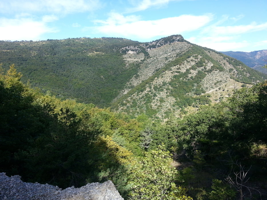
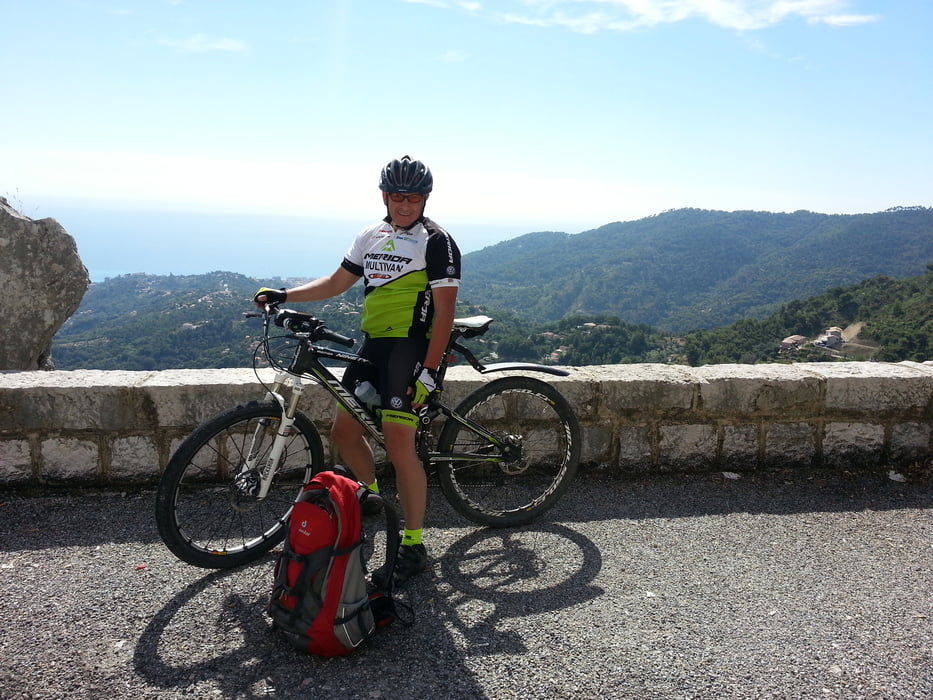
Eine sehr gut zu fahrende Strecke, mit grandioser Landschaft und fast ohne Verkehr und Hektik von Menton. Man kann das Mittelmeer schon riechen. Herlich Schlußabfahrt von Sainte-Agnès 652m über Menton nach Roquebrune-Cap-Martin.
Further information at
https://www.menton.fr/Galeria trasy
Mapa trasy i profil wysokości
Minimum height 7 m
Maximum height 1094 m
More about the tour author
|
|
Sport2008 |
Komentarze

siehe Tour 126692. 1.Tag Westalpen-2013 Aussois 1500m-Bardonecchia 1312m
GPS tracks
Trackpoints-
GPX / Garmin Map Source (gpx) download
-
TCX / Garmin Training Center® (tcx) download
-
CRS / Garmin Training Center® (crs) download
-
Google Earth (kml) download
-
G7ToWin (g7t) download
-
TTQV (trk) download
-
Overlay (ovl) download
-
Fugawi (txt) download
-
Kompass (DAV) Track (tk) download
-
Karta trasy (pdf) download
-
Original file of the author (gpx) download
More about the tour author
|
|
Sport2008 |
Add to my favorites
Remove from my favorites
Edit tags
Open track
My score
Rate