Login

Zapomniałeś swój login?

Cookies have to be accepted!
Your browser's cookie functionality is disabled. Please enable this functionality.

Not a member yet?

Register now
Login

Available for registred users only

Log in to use this feature.

Zapomniałeś swój login?

Cookies have to be accepted!
Your browser's cookie functionality is disabled. Please enable this functionality.

Not a member yet?

Register now
Filter
Kategorie
Advanced filters
  • Długość (km)
  • Wysokość
Zapisz filtr Reset filter

TrackRank

QRCode

Technical data

Długość7,2 km Wysokość20 m Way down20 m Czas trwania00:00 h:m Data11.02.2018
Oceny Author Krajobraz Czynnik zadowolenia Kondycja Technika

Statystyka

368 Widoki Oceny 6 Downloads / Pliki do pobrania Przeciętnie
Rate
  • Karta trasy
  • Dojazd
  • Downloads / Pliki do pobrania

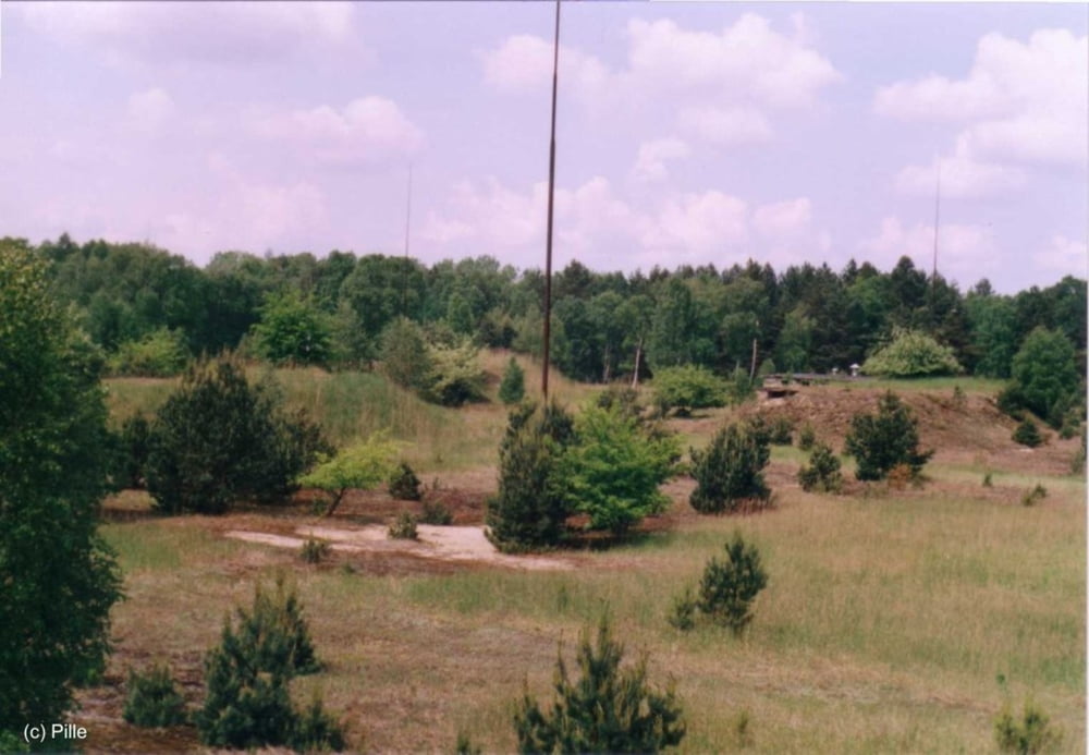
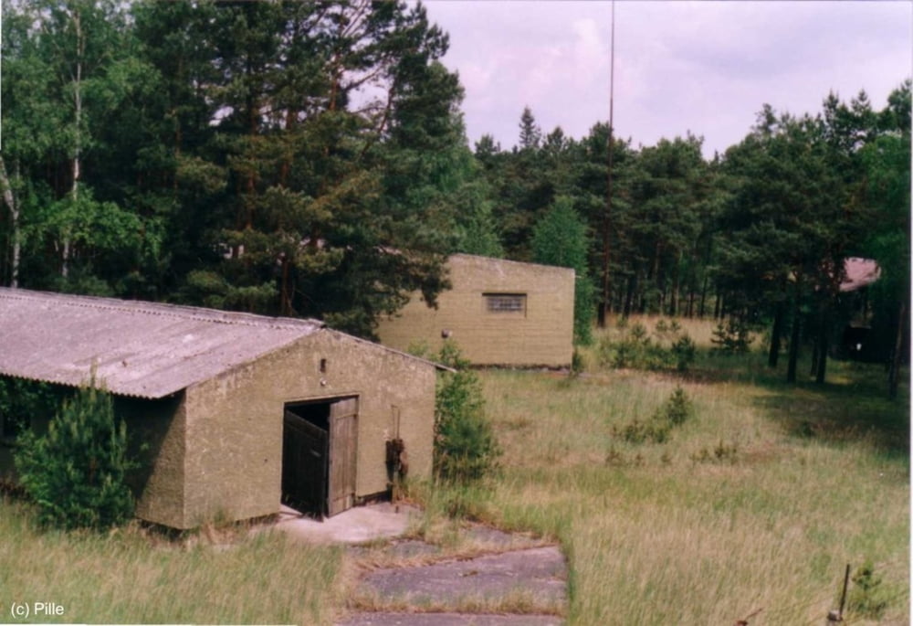
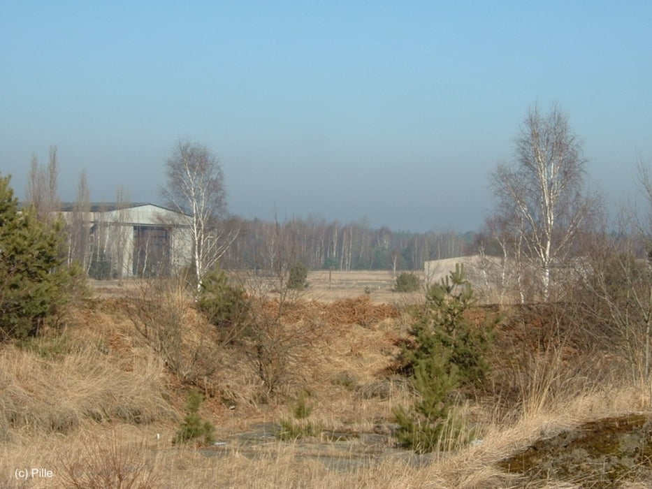
Schwierig zu laufende Urbex Runde auf Historischem Untergrund,

gut geeignet für OCR Training.

Bei jedem Wetter schön ;-)

Galeria trasy

Mapa trasy i profil wysokości

  • Open Street Map
  • Google
Minimum height 48 m Maximum height 58 m Widok szczegółowy

More about the tour author

Daxtuning
Member since 2018

Send private message

Komentarze

Parkplatz Kummersdorf Gut,

An der Waldkante, Zufahrt über Mittelweg, 15838 Am Mellensee

GPS tracks

Trackpoints
  • GPX / Garmin Map Source (gpx) download
  • TCX / Garmin Training Center® (tcx) download
  • CRS / Garmin Training Center® (crs) download
  • Google Earth (kml) download
  • G7ToWin (g7t) download
  • TTQV (trk) download
  • Overlay (ovl) download
  • Fugawi (txt) download
  • Kompass (DAV) Track (tk) download
  • Karta trasy (pdf) download
  • Original file of the author (gpx) download

More about the tour author

Daxtuning
Member since 2018

Send private message
Share track
Add to my favorites
Remove from my favorites
Edit tags
My score
Rate
Trasa: Urbex Laufrunde Kummersdorf Schießplatz, Xletix Training
Rodzaj: Biegi
Długość: 7,2 km
Evaluated on:
Czas trwania:
Day(s)
Hour(s)
Minute(s)
Ocena: Krajobraz Czynnik zadowolenia Kondycja Technika