


Start Arnoldstein
1.Etappe Arnoldstein - Kranjska Gora 25km,1052 hm
2.Etappe Kanjska Gora - Bovec, 50km,1110 hm
3. Etappe Bovec - Kobarid, 44km,1093 hm
4.Etappe Kobarid - Smartno, 68km,1523 hm
5.Etappe Smartno - Lipica, 84 km, 1630 hm
6.Etappe Lipica - Piran, 65 km, 1084 hm
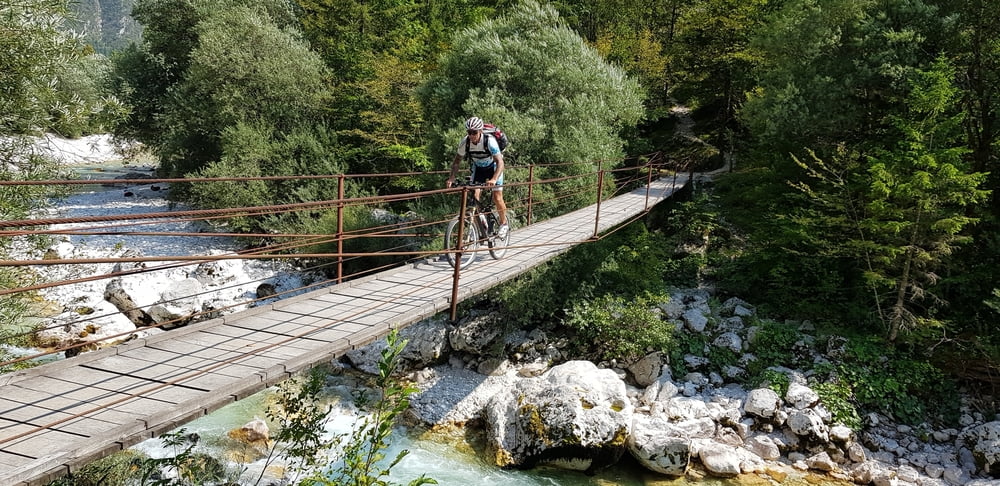
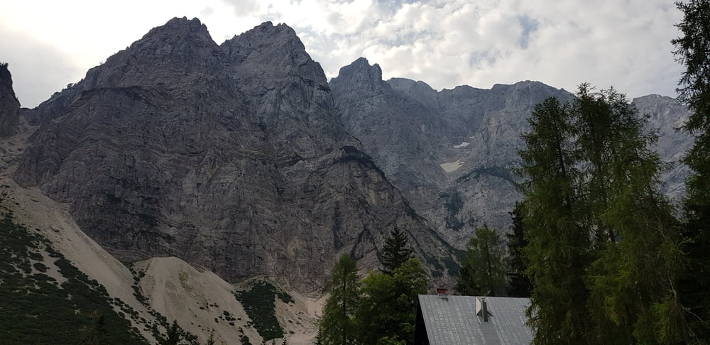
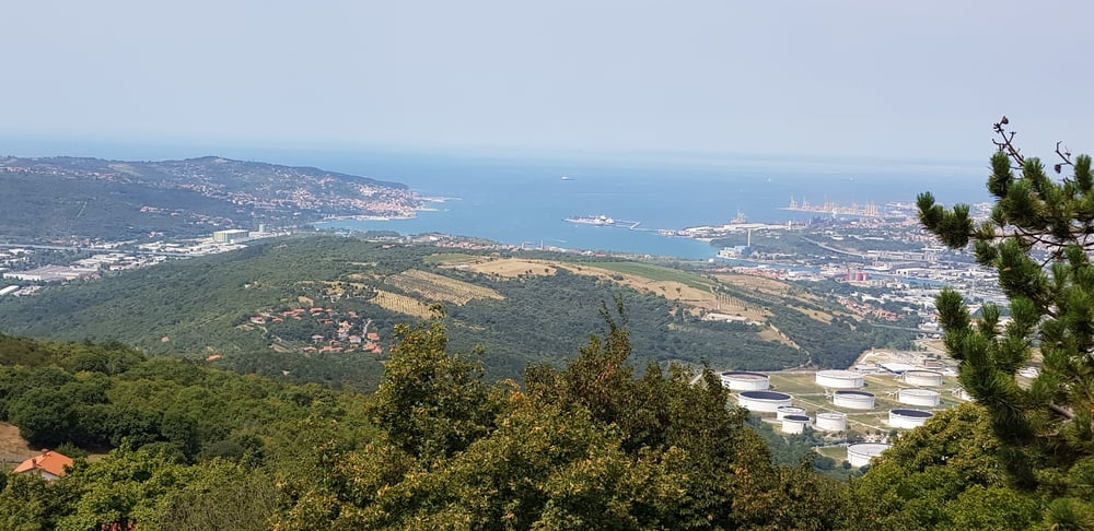
sehr abwechslungsreiche Tour ( Hochgebirge, Mittelgebirge, Weinanbaugebiet, Adriaküste)
Viele schöne fahrbare Trails!
Galeria trasy

Mapa trasy i profil wysokości
Minimum height 2 m
Maximum height 1687 m
More about the tour author

|
ABC65 |
Komentarze

Arnoldstein liegt an der Bundesstraße Thörl-Maglern-Villach, (Bezirk Villach-Land,Kärnten), erreichbar auch über die Südautobahn A2 (Ausfahrt Arnoldstein)
GPS tracks
Trackpoints-
GPX / Garmin Map Source (gpx) download
-
TCX / Garmin Training Center® (tcx) download
-
CRS / Garmin Training Center® (crs) download
-
Google Earth (kml) download
-
G7ToWin (g7t) download
-
TTQV (trk) download
-
Overlay (ovl) download
-
Fugawi (txt) download
-
Kompass (DAV) Track (tk) download
-
Karta trasy (pdf) download
-
Original file of the author (gpx) download
More about the tour author
|
|
ABC65 |
Add to my favorites
Remove from my favorites
Edit tags
Open track
My score
Rate