Login

Zapomniałeś swój login?

Cookies have to be accepted!
Your browser's cookie functionality is disabled. Please enable this functionality.

Not a member yet?

Register now
Login

Available for registred users only

Log in to use this feature.

Zapomniałeś swój login?

Cookies have to be accepted!
Your browser's cookie functionality is disabled. Please enable this functionality.

Not a member yet?

Register now
Filter
Kategorie
Advanced filters
  • Długość (km)
  • Wysokość
Zapisz filtr Reset filter

TrackRank

QRCode

Technical data

Długość29,0 km Wysokość696 m Way down1356 m Czas trwania04:00 h:m Data28.08.2018
Oceny Author Krajobraz Czynnik zadowolenia Kondycja Technika

Statystyka

530 Widoki Oceny 54 Downloads / Pliki do pobrania Przeciętnie
Rate
  • Karta trasy
  • Dojazd
  • Downloads / Pliki do pobrania

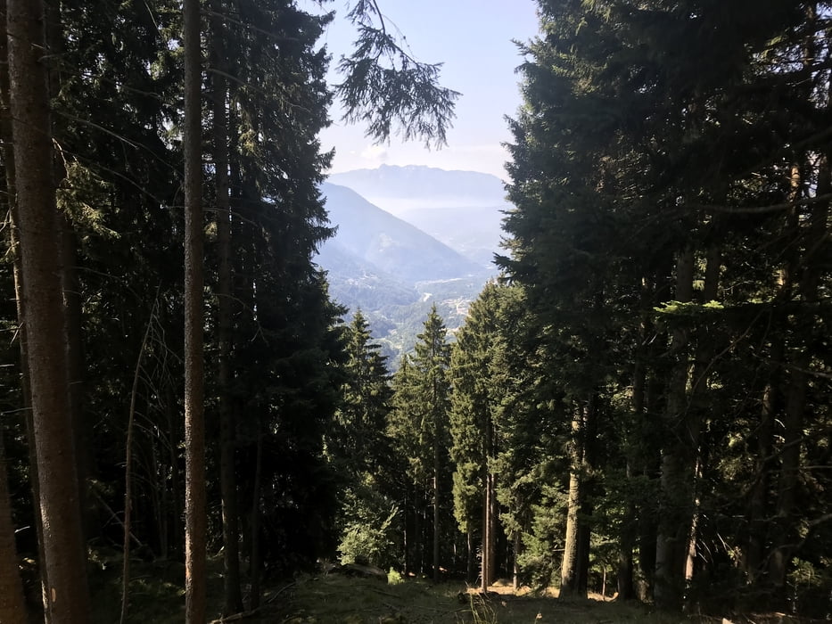
Gleich nach Brusago ging es 500 Höhenmeter hinauf auf den Passo Redebus in eine deutschsprachige Insel mitten im Trentino. Von dort zu einer Alm auf ca. 1700 Meter.

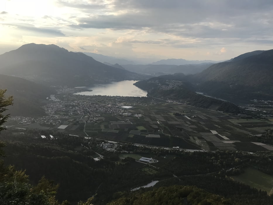
Ab hier zwischen weidenden Kühe bergab teilweise in technisch schwierigen Trail über St. Orsola und Pergine an den Lagi di Caldonazzo unserem Ziel unseres AlpnX.

Galeria trasy

Mapa trasy i profil wysokości

  • Open Street Map
  • Google
Minimum height 456 m Maximum height 1705 m Widok szczegółowy

More about the tour author

dottore66
Member since 2014

Send private message

Komentarze

GPS tracks

Trackpoints
  • GPX / Garmin Map Source (gpx) download
  • TCX / Garmin Training Center® (tcx) download
  • CRS / Garmin Training Center® (crs) download
  • Google Earth (kml) download
  • G7ToWin (g7t) download
  • TTQV (trk) download
  • Overlay (ovl) download
  • Fugawi (txt) download
  • Kompass (DAV) Track (tk) download
  • Karta trasy (pdf) download
  • Original file of the author (gpx) download

More about the tour author

dottore66
Member since 2014

Send private message
Share track
Add to my favorites
Remove from my favorites
Edit tags
My score
Rate
Trasa: AlpnX mit mehreren Generationen Tag 5 Brusago Caldonazzo
Rodzaj: Transalp
Długość: 29,0 km
Evaluated on:
Czas trwania:
Day(s)
Hour(s)
Minute(s)
Ocena: Krajobraz Czynnik zadowolenia Kondycja Technika