Login

Zapomniałeś swój login?

Cookies have to be accepted!
Your browser's cookie functionality is disabled. Please enable this functionality.

Not a member yet?

Register now
Login

Available for registred users only

Log in to use this feature.

Zapomniałeś swój login?

Cookies have to be accepted!
Your browser's cookie functionality is disabled. Please enable this functionality.

Not a member yet?

Register now
Filter
Kategorie
Advanced filters
  • Długość (km)
  • Wysokość
Zapisz filtr Reset filter

TrackRank

QRCode

Technical data

Długość204,1 km Wysokość3837 m Way down3829 m Czas trwania00:00 h:m Data02.07.2020
Oceny Author Krajobraz Czynnik zadowolenia Kondycja Technika

Statystyka

536 Widoki Oceny 46 Downloads / Pliki do pobrania Przeciętnie
Rate
  • Karta trasy
  • Dojazd
  • Downloads / Pliki do pobrania
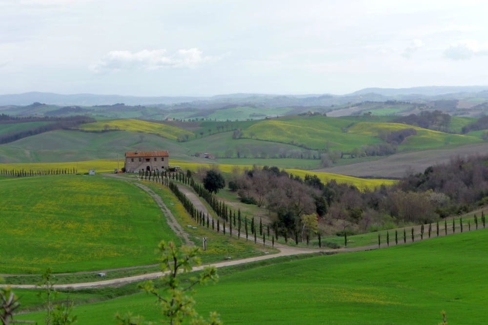
E' una strada bianca con tratti in asfalto che atraversa campi e vigneti .

Further information at

https://eroica.cc

Mapa trasy i profil wysokości

  • Open Street Map
  • Google
Minimum height 138 m Maximum height 622 m Widok szczegółowy

More about the tour author

Belze
Member since 2020

Send private message

Komentarze

Belze on 02.07.2020

l' eroica

eroica è percorribile sia in moto che macchina e bicicletta.
Per consiglio no bici da corsa no moto sportive.

GPS tracks

Trackpoints
  • GPX / Garmin Map Source (gpx) download
  • TCX / Garmin Training Center® (tcx) download
  • CRS / Garmin Training Center® (crs) download
  • Google Earth (kml) download
  • G7ToWin (g7t) download
  • TTQV (trk) download
  • Overlay (ovl) download
  • Fugawi (txt) download
  • Kompass (DAV) Track (tk) download
  • Karta trasy (pdf) download
  • Original file of the author (gpx) download

More about the tour author

Belze
Member since 2020

Send private message
Share track
Add to my favorites
Remove from my favorites
Edit tags
My score
Rate
Trasa: l' eroica
Rodzaj: Motor
Długość: 204,1 km
Evaluated on:
Czas trwania:
Day(s)
Hour(s)
Minute(s)
Ocena: Krajobraz Czynnik zadowolenia Kondycja Technika