


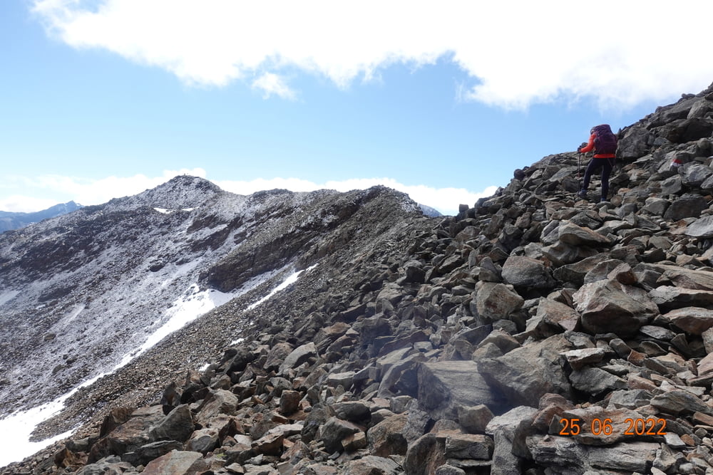
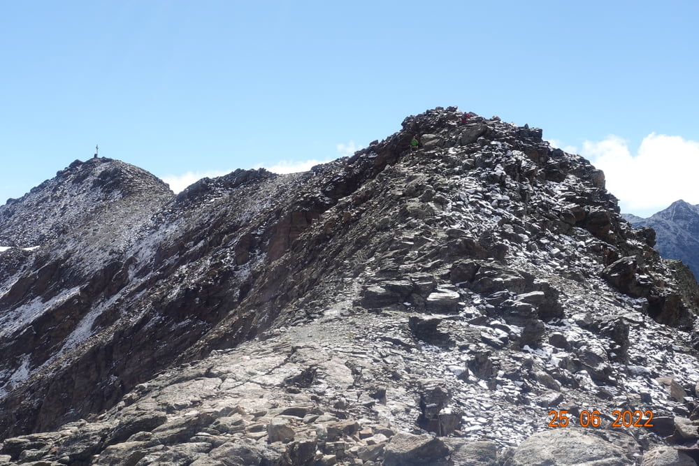
Von der Vernagt Hütte kommend folgen wir ein kurzes Stück hinab Richtung Breslauer Hütte. Kurz darauf den kleinen Wegweiser "Guslarspitzen" folgend geht es einen gut zu laufenden Bergsteig weiter. Der wird jedoch zunehmend schmaler und steiler, weshalb man schon trittsicher sein sollte. Vor der mittleren Guslarspitze wird es jodoch deutlich breiter. Das große Gipfelkreuz der vorderen Gularspitze ist von weitem zu erkennen, von wo man eine grandiose Rundumsicht hat. Ein kleines Stück wieder bergab ist die Markierung HH (Hochjoch Hospiz) am Fels aufgemalt. Den gut markierten weg folgt man nun zu der Hütte.
Galeria trasy

Mapa trasy i profil wysokości
Minimum height 2436 m
Maximum height 3119 m
More about the tour author

|
revvot |
Komentarze

GPS tracks
Trackpoints-
GPX / Garmin Map Source (gpx) download
-
TCX / Garmin Training Center® (tcx) download
-
CRS / Garmin Training Center® (crs) download
-
Google Earth (kml) download
-
G7ToWin (g7t) download
-
TTQV (trk) download
-
Overlay (ovl) download
-
Fugawi (txt) download
-
Kompass (DAV) Track (tk) download
-
Karta trasy (pdf) download
-
Original file of the author (gpx) download
More about the tour author
|
|
revvot |
Add to my favorites
Remove from my favorites
Edit tags
Open track
My score
Rate