Login

Zapomniałeś swój login?

Cookies have to be accepted!
Your browser's cookie functionality is disabled. Please enable this functionality.

Not a member yet?

Register now
Login

Available for registred users only

Log in to use this feature.

Zapomniałeś swój login?

Cookies have to be accepted!
Your browser's cookie functionality is disabled. Please enable this functionality.

Not a member yet?

Register now
Filter
Kategorie
Advanced filters
  • Długość (km)
  • Wysokość
Zapisz filtr Reset filter

TrackRank

QRCode

Technical data

Długość70,7 km Wysokość1881 m Way down1851 m Czas trwania06:01 h:m Data15.09.2023
Oceny Author Krajobraz Czynnik zadowolenia Kondycja Technika

Statystyka

185 Widoki Oceny 0 Downloads / Pliki do pobrania Przeciętnie
Rate
  • Karta trasy
  • Dojazd
  • Downloads / Pliki do pobrania

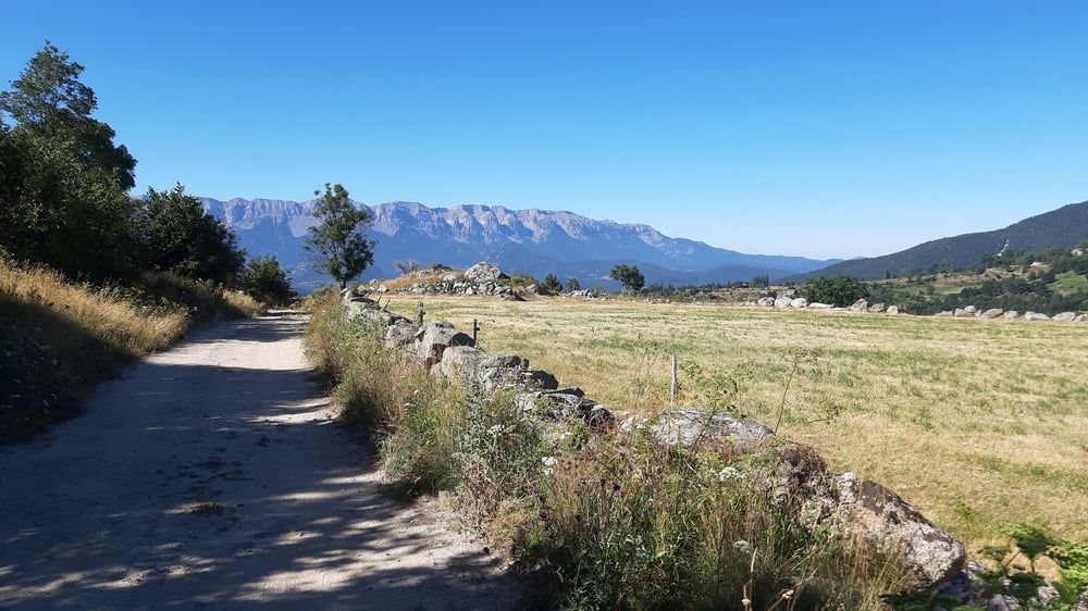
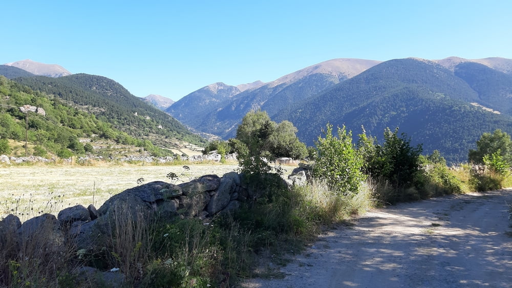
Schöne, verkehrsarme Bergstraße (nur die ersten 4,5km auf der Hauptstraße leicht bergauf sind unangenehm). Ab Viliella Schotter, dann bis zur guten Kaffeepause im Rifugio Cap del rec wieder Teer.

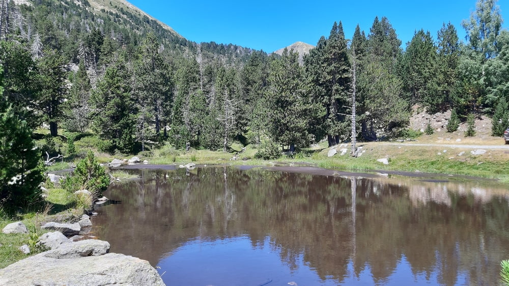
Danach wieder Schotter, teils grob aber durchaus immer fahrbar. Höchster Punkt: Collada de Primes, 2140m, Grenze zu Andorra.

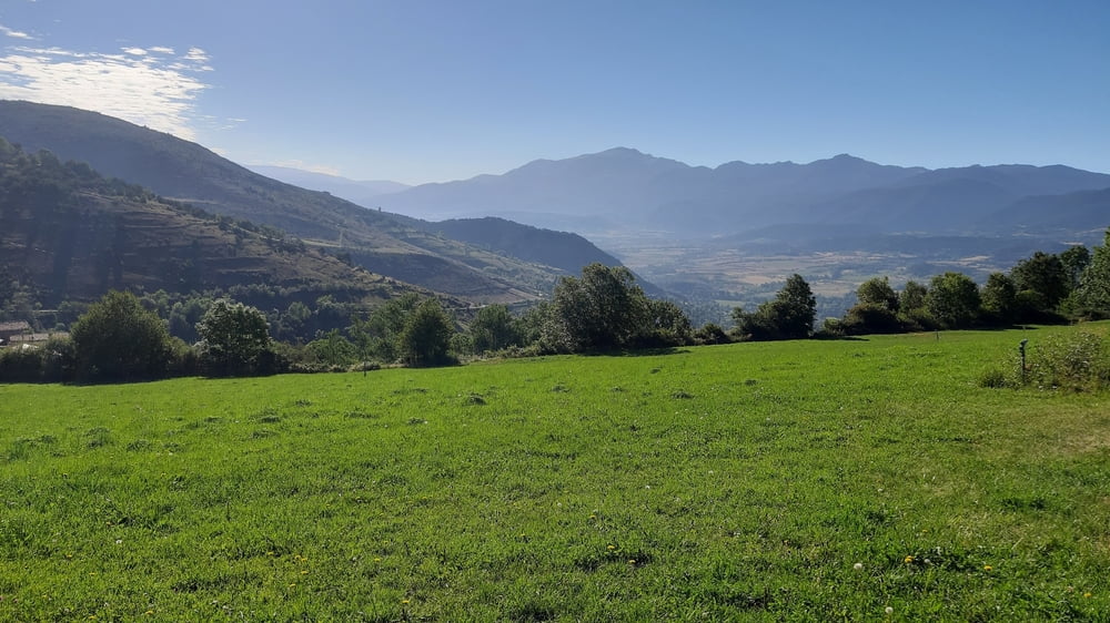
Großartige Kulisse! Abfahrt ab La Rabassa wieder Asphalt. Ca 1100 hm runter, die Bremsen haben zu tun.

Quartier: Hotel Peralba, N 36€, einfach, ok.

Galeria trasy

Mapa trasy i profil wysokości

  • Open Street Map
  • Google
Minimum height 979 m Maximum height 2191 m Widok szczegółowy

More about the tour author

mitter
Member since 2008

Send private message

Komentarze

Start in Martinet.

GPS tracks

Trackpoints
  • GPX / Garmin Map Source (gpx) download
  • TCX / Garmin Training Center® (tcx) download
  • CRS / Garmin Training Center® (crs) download
  • Google Earth (kml) download
  • G7ToWin (g7t) download
  • TTQV (trk) download
  • Overlay (ovl) download
  • Fugawi (txt) download
  • Kompass (DAV) Track (tk) download
  • Karta trasy (pdf) download
  • Original file of the author (gpx) download

More about the tour author

mitter
Member since 2008

Send private message
Share track
Add to my favorites
Remove from my favorites
Edit tags
My score
Rate
Trasa: Martinet-St. Julià Andorra 230808 (6. Transpyration 2023)
Rodzaj: Rower górski (MTB)
Długość: 70,7 km
Evaluated on:
Czas trwania:
Day(s)
Hour(s)
Minute(s)
Ocena: Krajobraz Czynnik zadowolenia Kondycja Technika