Login

Zapomniałeś swój login?

Cookies have to be accepted!
Your browser's cookie functionality is disabled. Please enable this functionality.

Not a member yet?

Register now
Login

Available for registred users only

Log in to use this feature.

Zapomniałeś swój login?

Cookies have to be accepted!
Your browser's cookie functionality is disabled. Please enable this functionality.

Not a member yet?

Register now
Filter
Kategorie
Advanced filters
  • Długość (km)
  • Wysokość
Zapisz filtr Reset filter

TrackRank

QRCode

Technical data

Długość40,4 km Wysokość247 m Way down250 m Czas trwania01:45 h:m Data26.05.2007
Oceny Author User Krajobraz Czynnik zadowolenia Kondycja Technika

Statystyka

4050 Widoki 5 Oceny 511 Downloads / Pliki do pobrania 3.80 Przeciętnie
Rate
  • Karta trasy
  • Dojazd
  • Downloads / Pliki do pobrania
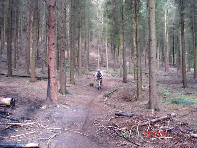
Wir Starten am Gut Buscherhof in Richtung Gödinghoven vorbei am Teufelsloch mit Anstieg nach Hochscheidt,über die A 3 zur Sandheide erreicht man nun den Hildener Stadtwald. Vorbei am Segelfluggelände über Schönholz mit schöner Abfahrt weiter ein Stück durch die Erikasiedlung nach Garath. Über Hülsen geht’s nun durch den Hasseler Wald Richtung Unterbachersee weiter durch den Eller Forst wieder nach Vennhausen zum Startplatz. Viel Spaß bei Nachfahren.

Further information at

http://www.wetter.com/v2/?SID=&LANG=DE&LOC=0270&LOCFROM=0202

Galeria trasy

Mapa trasy i profil wysokości

  • Open Street Map
  • Google
Minimum height Maximum height 110 m Widok szczegółowy

More about the tour author

Frank Döller
Member since 2006

Send private message

Komentarze

Michael Borovac on 01.06.2007

Hilden Tour

Hallo Frank - Prima Tour zum regenerieren.Track läßt sich gut nachfahren. ( GPSMAP 60CSx )
barthelmes on 10.06.2008

Hilden Tour

Hallo Frank,super Runde gerade auch für Anfänger. :-)
Knollensteppe on 17.06.2013

Schöne Runde

Landschaftlich schöne Runde ohne großen technischen Anspruch. Viele Forstwege und Asphaltstücke.

Danke fürs Einstellen!
Startplatz mit Parkgelegenheit Gödinghover Weg

GPS tracks

Trackpoints
  • GPX / Garmin Map Source (gpx) download
  • TCX / Garmin Training Center® (tcx) download
  • CRS / Garmin Training Center® (crs) download
  • Google Earth (kml) download
  • G7ToWin (g7t) download
  • TTQV (trk) download
  • Overlay (ovl) download
  • Fugawi (txt) download
  • Kompass (DAV) Track (tk) download
  • Karta trasy (pdf) download
  • Original file of the author (g7t) download

More about the tour author

Frank Döller
Member since 2006

Send private message
Share track
Add to my favorites
Remove from my favorites
Edit tags
My score
Rate
Trasa: Rund um Hilden
Rodzaj: Rower górski (MTB)
Długość: 40,4 km
Evaluated on:
Czas trwania:
Day(s)
Hour(s)
Minute(s)
Ocena: Krajobraz Czynnik zadowolenia Kondycja Technika