


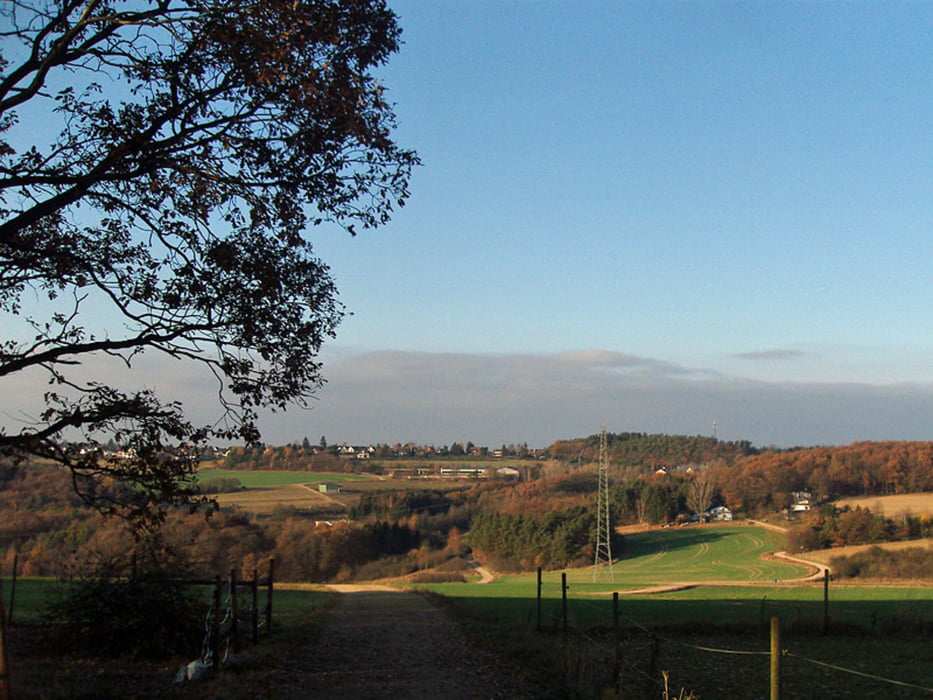
Auch die Rundwege des Eifelvereins haben ihren Reiz.
Hier der Rundweg Nr. 10 des Eifelvereins - Start in Altenahr - hoch zur Burg Are, weisses Kreuz, Eifelblick, Kalenborner Höhe, Kalenborn, Kreuzung 335m, F. Weißerath, Rangshof, Höhe 296m, Pützgasse, Altenahr - ein bisschen langatmig ist das Stück oben in Kalenborn an der Straße lang. Der Teil durch den Wald hat danach aber entschädigt.
Ich bin die Strecke am 23. November 2011 gegangen - Dauer netto: 2h:40m
Further information at
http://eifelverein.deGaleria trasy


Mapa trasy i profil wysokości
Minimum height 151 m
Maximum height 384 m
More about the tour author
|
|
wandernbonn |
Komentarze

Parken in Altenahr ist nicht so einfach. Ich selber habe in Altenahr an dem kostenpflichtigen Parkplatz geparkt. Es ist aber auch möglich - evtl. für diejenigen, die von Bonn kommen - oben in Kalenborn zu parken. So spart man Sprit und Parkgebühren und kann auf der hälfte des Weges dafür in Altenahr einen leckeren Kaffee trinken ;-)
GPS tracks
Trackpoints-
GPX / Garmin Map Source (gpx) download
-
TCX / Garmin Training Center® (tcx) download
-
CRS / Garmin Training Center® (crs) download
-
Google Earth (kml) download
-
G7ToWin (g7t) download
-
TTQV (trk) download
-
Overlay (ovl) download
-
Fugawi (txt) download
-
Kompass (DAV) Track (tk) download
-
Karta trasy (pdf) download
-
Original file of the author (gpx) download
More about the tour author
|
|
wandernbonn |
Add to my favorites
Remove from my favorites
Edit tags
Open track
My score
Rate