Login

Zapomniałeś swój login?

Cookies have to be accepted!
Your browser's cookie functionality is disabled. Please enable this functionality.

Not a member yet?

Register now
Login

Available for registred users only

Log in to use this feature.

Zapomniałeś swój login?

Cookies have to be accepted!
Your browser's cookie functionality is disabled. Please enable this functionality.

Not a member yet?

Register now
Filter
Kategorie
Advanced filters
  • Długość (km)
  • Wysokość
Zapisz filtr Reset filter

TrackRank

QRCode

Technical data

Długość27,2 km Wysokość658 m Way down660 m Czas trwania02:15 h:m Data31.12.2011
Oceny Author User Krajobraz Czynnik zadowolenia Kondycja Technika

Statystyka

2108 Widoki 5 Oceny 624 Downloads / Pliki do pobrania 3.60 Przeciętnie
Rate
  • Karta trasy
  • Dojazd
  • Downloads / Pliki do pobrania

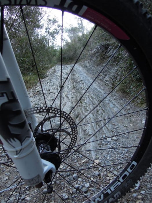
Diese Tour bringt euch bequem zu den Manie Trails.

Flowige und technisch schön zu fahrene Trails! Später gibts einen

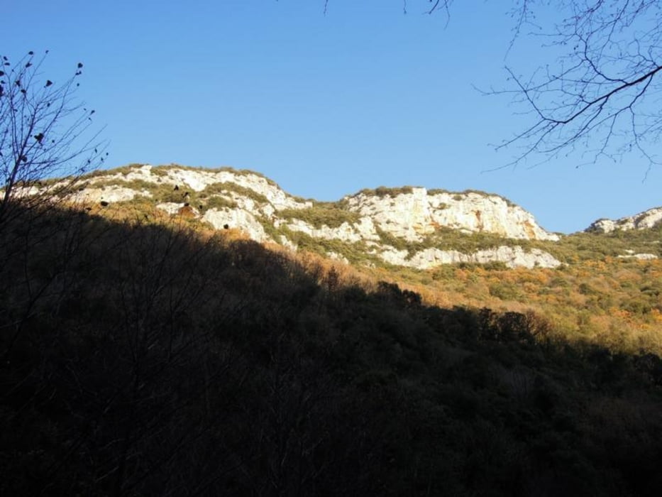
super Blick vom Bric dei Crovi über die ganze Umgebung!


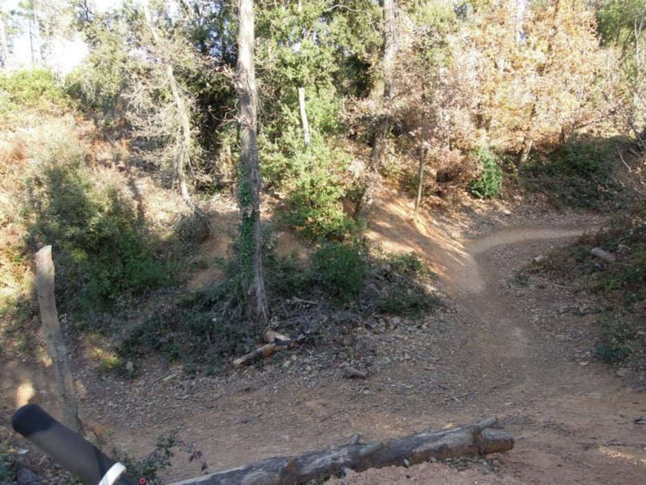
Downhill gehts über nette Anlieger zurück auf die Hauptstrasse von der Ihr dann auf

die mit einem Dreickeck/später Raute markierten Downhills kommt, technisch anspruchsvoll!


Viel Spaß und viel Sonne!

Cincin!

TIMTIMnavigation


Galeria trasy

Mapa trasy i profil wysokości

  • Open Street Map
  • Google
Minimum height 6 m Maximum height 374 m Widok szczegółowy

More about the tour author

TIMTIMnavigation
Member since 2011

Send private message

Komentarze

dornroeschen212 on 07.07.2014

Super

Super Super!!! Endlich mal ein feiner Weg die 600 Höhenmeter zu meistern und dann feinste Trails wieder runterzufahren. Wiederholung folgt!
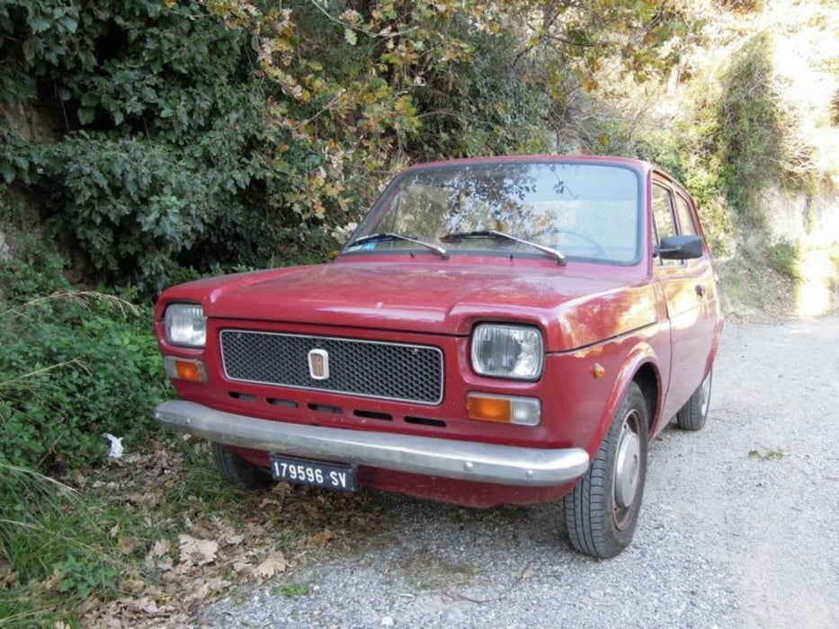
Gestarted wird in Finalpia, auf Asphalt gehts bequem hoch zum ersten Traileinstieg!

GPS tracks

Trackpoints
  • GPX / Garmin Map Source (gpx) download
  • TCX / Garmin Training Center® (tcx) download
  • CRS / Garmin Training Center® (crs) download
  • Google Earth (kml) download
  • G7ToWin (g7t) download
  • TTQV (trk) download
  • Overlay (ovl) download
  • Fugawi (txt) download
  • Kompass (DAV) Track (tk) download
  • Karta trasy (pdf) download
  • Original file of the author (gpx) download

More about the tour author

TIMTIMnavigation
Member since 2011

Send private message
Share track
Add to my favorites
Remove from my favorites
Edit tags
My score
Rate
Trasa: Finale Happy-Trails
Rodzaj: Rower górski (MTB)
Długość: 27,2 km
Evaluated on:
Czas trwania:
Day(s)
Hour(s)
Minute(s)
Ocena: Krajobraz Czynnik zadowolenia Kondycja Technika