Login

Zapomniałeś swój login?

Cookies have to be accepted!
Your browser's cookie functionality is disabled. Please enable this functionality.

Not a member yet?

Register now
Login

Available for registred users only

Log in to use this feature.

Zapomniałeś swój login?

Cookies have to be accepted!
Your browser's cookie functionality is disabled. Please enable this functionality.

Not a member yet?

Register now
Filter
Kategorie
Advanced filters
  • Długość (km)
  • Wysokość
Zapisz filtr Reset filter

TrackRank

QRCode

Technical data

Długość144,5 km Wysokość1016 m Way down1013 m Czas trwania00:00 h:m Data24.03.2012
Oceny Author Krajobraz Czynnik zadowolenia Kondycja Technika

Statystyka

250 Widoki Oceny 26 Downloads / Pliki do pobrania Przeciętnie
Rate
  • Karta trasy
  • Dojazd
  • Downloads / Pliki do pobrania

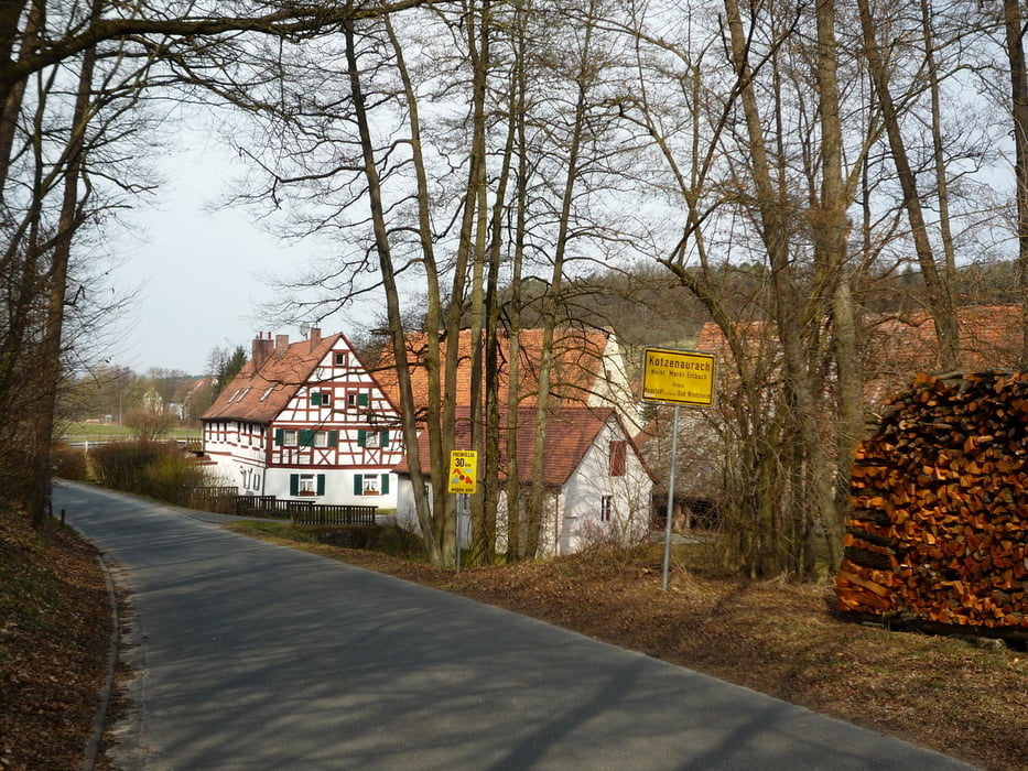
Tief in den Fränkischen Westen oder wie mein Spezl heute gesagt hat: "Fränkisch Sibirien". Das war nicht böse gemeint, der Ausdruck bezieht sich auf die weite schöne "dünnbesiedelte" Landschaft im Fränkischen Westen.

Start in 90579 Langenzenn auf der Sportplatzstraße. Parkplätze vorhanden!

Anspuchsvolle Runde auf meist wenig befahrenen Straßen mit knackigen Anstiegen!


Viel Spaß!

Further information at

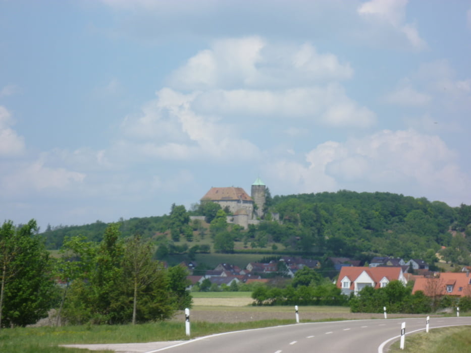
http://de.wikipedia.org/wiki/Blaues_Schloss_Obernzenn

Galeria trasy

Mapa trasy i profil wysokości

  • Open Street Map
  • Google
Minimum height 308 m Maximum height 507 m Widok szczegółowy

More about the tour author

FLU
Member since 2009

Send private message

Komentarze

GPS tracks

Trackpoints
  • GPX / Garmin Map Source (gpx) download
  • TCX / Garmin Training Center® (tcx) download
  • CRS / Garmin Training Center® (crs) download
  • Google Earth (kml) download
  • G7ToWin (g7t) download
  • TTQV (trk) download
  • Overlay (ovl) download
  • Fugawi (txt) download
  • Kompass (DAV) Track (tk) download
  • Karta trasy (pdf) download
  • Original file of the author (gpx) download

More about the tour author

FLU
Member since 2009

Send private message
Share track
Add to my favorites
Remove from my favorites
Edit tags
My score
Rate
Trasa: Tief in den Fränkischen Westen
Rodzaj: Rower szosowy
Długość: 144,5 km
Evaluated on:
Czas trwania:
Day(s)
Hour(s)
Minute(s)
Ocena: Krajobraz Czynnik zadowolenia Kondycja Technika