Login

Забыл пароль?

Cookies have to be accepted!
Your browser's cookie functionality is disabled. Please enable this functionality.

Not a member yet?

Register now
Login

Available for registred users only

Log in to use this feature.

Забыл пароль?

Cookies have to be accepted!
Your browser's cookie functionality is disabled. Please enable this functionality.

Not a member yet?

Register now
Filter
Категории
Advanced filters
  • Длина (км)
  • Высотомер
Сохранить фильтр Reset filter

TrackRank

QRCode

Technical data

Длина34,2 km Высотомер1327 m Way down1318 m Длительность03:00 h:m Дата16.05.2005
Оценки Author Ландшафт Веселье Кондиция Техника

Статистика

2210 Виды Оценки 251 Загрузки Среднее
Rate
  • Формуляр маршрута
  • Дорога
  • Загрузки
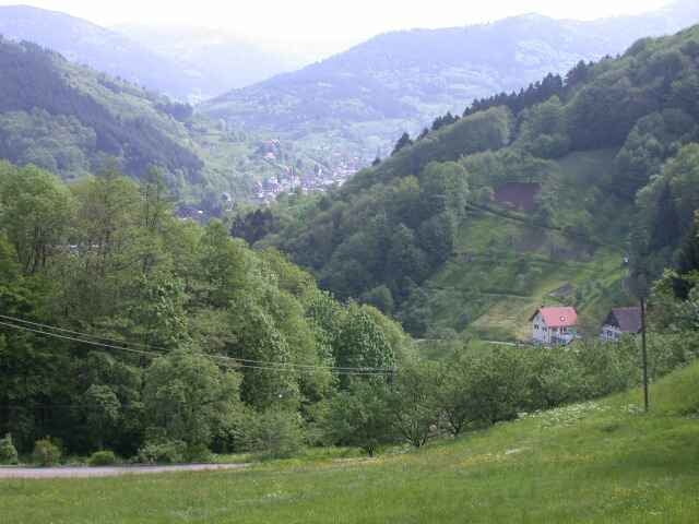
Dies ist der 2.Teil der legendären aber leider in Vergessenheit geratenen Tour: "Mount Acherest" von Manuel Decker. Der Start ist in Ottenhöfen genau am Wegpunkt "Start2" des 1.Teils.

Галерея маршрутов

Карта маршрута и высотный профиль

  • Open Street Map
  • Google
Minimum height 195 m Maximum height 684 m Детальный вид

More about the tour author

KD250761
Member since 2004

Send private message

Комментарии

GPS-Tracks

Trackpoints
  • GPX / Garmin Map Source (gpx) download
  • TCX / Garmin Training Center® (tcx) download
  • CRS / Garmin Training Center® (crs) download
  • Google Earth (kml) download
  • G7ToWin (g7t) download
  • TTQV (trk) download
  • Overlay (ovl) download
  • Fugawi (txt) download
  • Kompass (DAV) Track (tk) download
  • Формуляр маршрута (pdf) download
  • Original file of the author (g7t) download

More about the tour author

KD250761
Member since 2004

Send private message
Share track
Add to my favorites
Remove from my favorites
Edit tags
My score
Rate
Маршрут: Manuel Decker - Mount Acherest (Teil 2)
Вид: Горный велосипед
Длина: 34,2 km
Evaluated on:
Длительность:
Day(s)
Hour(s)
Minute(s)
Оценка: Ландшафт Веселье Кондиция Техника