Login

Забыл пароль?

Cookies have to be accepted!
Your browser's cookie functionality is disabled. Please enable this functionality.

Not a member yet?

Register now
Login

Available for registred users only

Log in to use this feature.

Забыл пароль?

Cookies have to be accepted!
Your browser's cookie functionality is disabled. Please enable this functionality.

Not a member yet?

Register now
Filter
Категории
Advanced filters
  • Длина (км)
  • Высотомер
Сохранить фильтр Reset filter

TrackRank

QRCode

Technical data

Длина16,6 km Высотомер36 m Way down25 m Длительность00:05 h:m Дата25.12.2016
Оценки Author Ландшафт Веселье Кондиция Техника

Статистика

609 Виды Оценки 30 Загрузки Среднее
Rate
  • Формуляр маршрута
  • Дорога
  • Загрузки
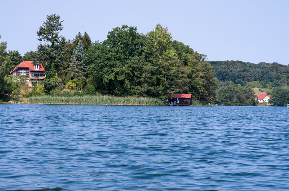
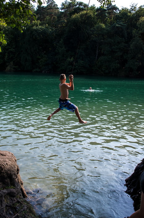
Immer wieder schön ist das smaragdgrüne Wasser und die Landschaft um uns. Badestellen laden zum Sprung ins Wasser. Was will man mehr?

Галерея маршрутов

Карта маршрута и высотный профиль

  • Open Street Map
  • Google
Minimum height 19 m Maximum height 100 m Детальный вид

More about the tour author

sugesei
Member since 2010

Send private message

Комментарии

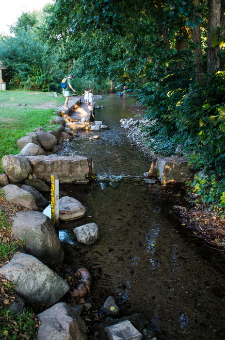
Carwitz Camping Einsatzstelle.

GPS-Tracks

Trackpoints
  • GPX / Garmin Map Source (gpx) download
  • TCX / Garmin Training Center® (tcx) download
  • CRS / Garmin Training Center® (crs) download
  • Google Earth (kml) download
  • G7ToWin (g7t) download
  • TTQV (trk) download
  • Overlay (ovl) download
  • Fugawi (txt) download
  • Kompass (DAV) Track (tk) download
  • Формуляр маршрута (pdf) download
  • Original file of the author (gpx) download

More about the tour author

sugesei
Member since 2010

Send private message
Share track
Add to my favorites
Remove from my favorites
Edit tags
My score
Rate
Маршрут: Von Carwitz nach Feldberg durch den schmalen Luzin
Вид: Бот и каноэ
Длина: 16,6 km
Evaluated on:
Длительность:
Day(s)
Hour(s)
Minute(s)
Оценка: Ландшафт Веселье Кондиция Техника