


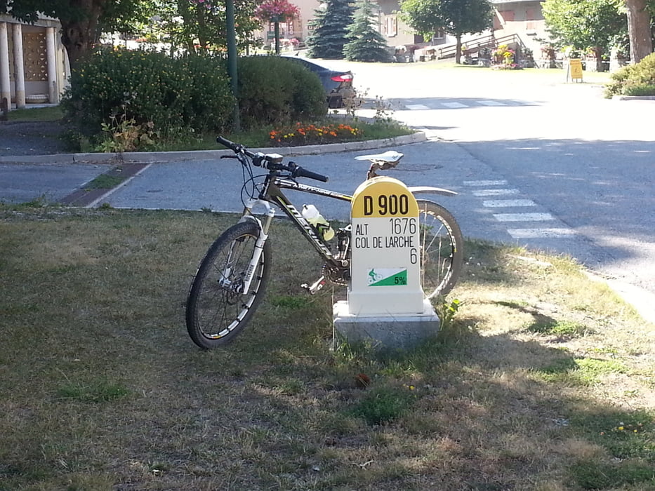
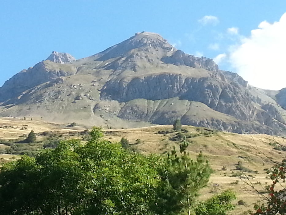
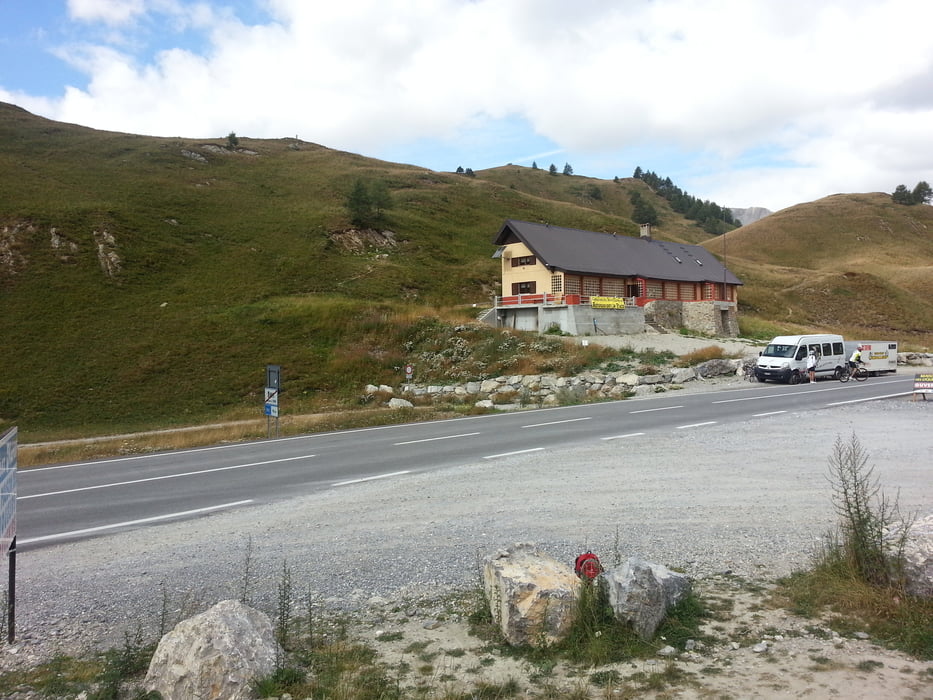
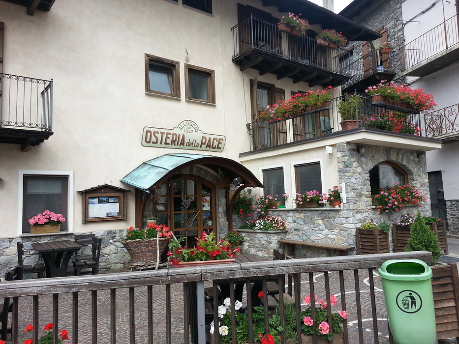
Leichter Tourentag heute von Saint-Paul-sur-Ubaye 1291m geht es D902 bis Les Gleizolles. Ab hier geht es dann auf guter Straße zum Col de Larche 1991m, welcher die Grenze zwischen Frankreich und Italien darstellt. Von hier rolle ich in Italien bergab nach Sambuco 1184m in die Osteria della Pace.
Further information at
http://www.regione.piemonte.it/Галерея маршрутов
Карта маршрута и высотный профиль
Minimum height 1151 m
Maximum height 1990 m
More about the tour author
|
|
Sport2008 |
Комментарии

siehe Tour 126692. 1.Tag Westalpen-2013 Aussois 1500m-Bardonecchia 1312m
GPS-Tracks
Trackpoints-
GPX / Garmin Map Source (gpx) download
-
TCX / Garmin Training Center® (tcx) download
-
CRS / Garmin Training Center® (crs) download
-
Google Earth (kml) download
-
G7ToWin (g7t) download
-
TTQV (trk) download
-
Overlay (ovl) download
-
Fugawi (txt) download
-
Kompass (DAV) Track (tk) download
-
Формуляр маршрута (pdf) download
-
Original file of the author (gpx) download
More about the tour author
|
|
Sport2008 |
Add to my favorites
Remove from my favorites
Edit tags
Open track
My score
Rate