Login

Забыл пароль?

Cookies have to be accepted!
Your browser's cookie functionality is disabled. Please enable this functionality.

Not a member yet?

Register now
Login

Available for registred users only

Log in to use this feature.

Забыл пароль?

Cookies have to be accepted!
Your browser's cookie functionality is disabled. Please enable this functionality.

Not a member yet?

Register now
Filter
Категории
Advanced filters
  • Длина (км)
  • Высотомер
Сохранить фильтр Reset filter

TrackRank

QRCode

Technical data

Длина8,7 km Высотомер56 m Way down62 m Длительность02:20 h:m Дата28.10.2023
Оценки Author Ландшафт Веселье Кондиция Техника

Статистика

316 Виды Оценки 0 Загрузки Среднее
Rate
  • Формуляр маршрута
  • Дорога
  • Загрузки
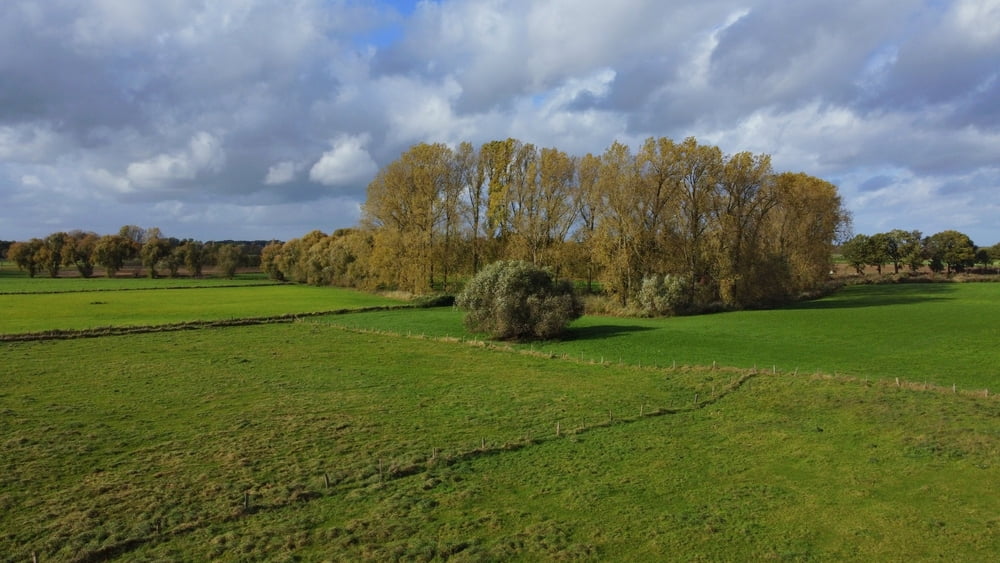
Een mooie wandeling langs weiden en velden.
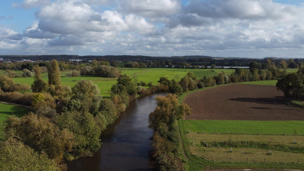
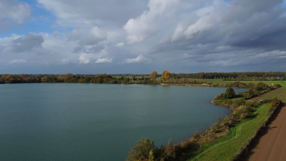
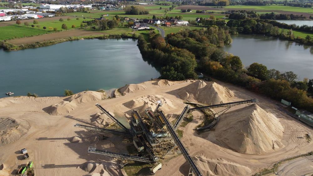
Je volgt een stukje de rivier Rur en ook enkele Baggerseeën komen voorbij.
Rustige en mooie natuur om te ontdekken.

Галерея маршрутов

Карта маршрута и высотный профиль

  • Open Street Map
  • Google
Minimum height 24 m Maximum height 48 m Детальный вид

More about the tour author

ikkel
Member since 2009

Send private message

Комментарии

GPS-Tracks

Trackpoints
  • GPX / Garmin Map Source (gpx) download
  • TCX / Garmin Training Center® (tcx) download
  • CRS / Garmin Training Center® (crs) download
  • Google Earth (kml) download
  • G7ToWin (g7t) download
  • TTQV (trk) download
  • Overlay (ovl) download
  • Fugawi (txt) download
  • Kompass (DAV) Track (tk) download
  • Формуляр маршрута (pdf) download
  • Original file of the author (gpx) download

More about the tour author

ikkel
Member since 2009

Send private message
Share track
Add to my favorites
Remove from my favorites
Edit tags
My score
Rate
Маршрут: Platteland van Wassenberg
Вид: Пешеходный туризм
Длина: 8,7 km
Evaluated on:
Длительность:
Day(s)
Hour(s)
Minute(s)
Оценка: Ландшафт Веселье Кондиция Техника