


Recorrido en bicicleta de montaña con alforjas desde Monreal del Campo hasta Orihuela siguiendo el GR 160 Camino del Cid, descrito en www.caminodelcid.org.
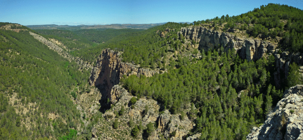
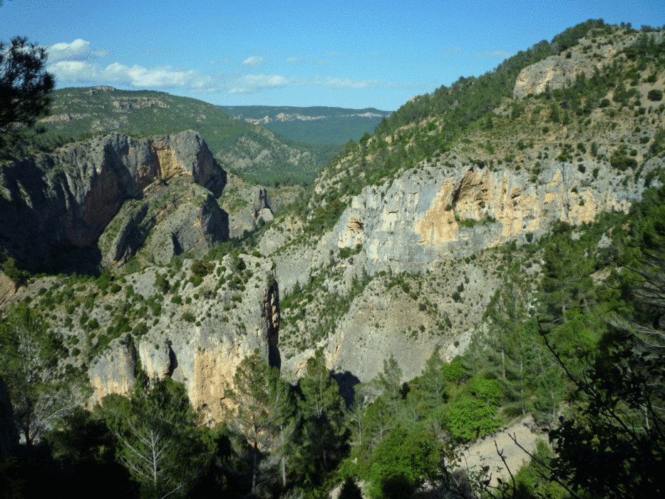
Desde Monreal del Campo llega a Molina de Aragón, ya en Guadalajara. Después de visitar el Santuario de la Virgen de la Hoz recorre el límite oriental del Parque Natural del Alto Tajo desde Tierzo hasta Orea, y en Chequilla enlaza con el GR 10 que no dejaremos hasta después de Bronchales.
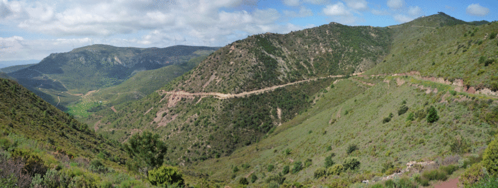
Cruza la Serranía de Albarracín para llegar hasta Teruel, donde conecta con la Vía Verde Ojos Negros que lleva a Sagunto. Antes hace un desvío para recorrer el Alto Mijares pasando por Rubielos de Mora y Montanejos, recuperando la vía verde en Caudiel que nos llevará por la Comarca del Palancia hasta Sagunto.
Siguiendo la Vía Augusta llega a Valencia, y continúa hasta Xátiva, tramo que coincide con el Camino de Santiago de Levante. Tras pasar por Ontinyent, por el Alt Vinalopó llega a Villena donde siguiendo el Vinalopó, por Elda y Novelda, llega a Elche. Desde Elche, bordea las Sierras de Crevillente y Callosa, llegando a Orihuela en la vega del Segura.
Aunque no forma parte del Camino del Cid, continúa por la vega del Segura hasta Murcia.
Más información:
http://zinaztli.blogspot.com/2011/05/gr-160-camino-del-cid-monreal-del-campo.html
Галерея маршрутов

Карта маршрута и высотный профиль
Minimum height -3 m
Maximum height 1574 m
More about the tour author
|
|
zinaztli |
Комментарии

GPS-Tracks
Trackpoints-
GPX / Garmin Map Source (gpx) download
-
TCX / Garmin Training Center® (tcx) download
-
CRS / Garmin Training Center® (crs) download
-
Google Earth (kml) download
-
G7ToWin (g7t) download
-
TTQV (trk) download
-
Overlay (ovl) download
-
Fugawi (txt) download
-
Kompass (DAV) Track (tk) download
-
Формуляр маршрута (pdf) download
-
Original file of the author (gpx) download
More about the tour author
|
|
zinaztli |
Add to my favorites
Remove from my favorites
Edit tags
Open track
My score
Rate