Login

Забыл пароль?

Cookies have to be accepted!
Your browser's cookie functionality is disabled. Please enable this functionality.

Not a member yet?

Register now
Login

Available for registred users only

Log in to use this feature.

Забыл пароль?

Cookies have to be accepted!
Your browser's cookie functionality is disabled. Please enable this functionality.

Not a member yet?

Register now
Filter
Категории
Advanced filters
  • Длина (км)
  • Высотомер
Сохранить фильтр Reset filter

TrackRank

QRCode

Technical data

Длина6,4 km Высотомер155 m Way down143 m Длительность01:20 h:m Дата07.05.2012
Оценки Author Ландшафт Веселье Кондиция Техника

Статистика

288 Виды Оценки 41 Загрузки Среднее
Rate
  • Формуляр маршрута
  • Дорога
  • Загрузки
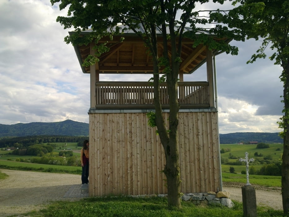
Leichte Walking- oder Wanderrunde um die obere Hälfte des Drachensees. Schöne Ausblicke auf den See und die umliegenden Berge: Arber, Osser, Hoher Bogen, Gibacht und Cerchov.

Further information at

http://www.furth-drachensee.de/

Галерея маршрутов

Карта маршрута и высотный профиль

  • Open Street Map
  • Google
Minimum height 388 m Maximum height 451 m Детальный вид

More about the tour author

grenz-pfad-fahrer
Member since 2009

Send private message

Комментарии

Parken in Ösbühl am Straßenrand beim Zugang zum See.

GPS-Tracks

Trackpoints
  • GPX / Garmin Map Source (gpx) download
  • TCX / Garmin Training Center® (tcx) download
  • CRS / Garmin Training Center® (crs) download
  • Google Earth (kml) download
  • G7ToWin (g7t) download
  • TTQV (trk) download
  • Overlay (ovl) download
  • Fugawi (txt) download
  • Kompass (DAV) Track (tk) download
  • Формуляр маршрута (pdf) download
  • Original file of the author (gpx) download

More about the tour author

grenz-pfad-fahrer
Member since 2009

Send private message
Share track
Add to my favorites
Remove from my favorites
Edit tags
My score
Rate
Маршрут: Obere Drachenseerunde
Вид: Nordic Walking
Длина: 6,4 km
Evaluated on:
Длительность:
Day(s)
Hour(s)
Minute(s)
Оценка: Ландшафт Веселье Кондиция Техника