


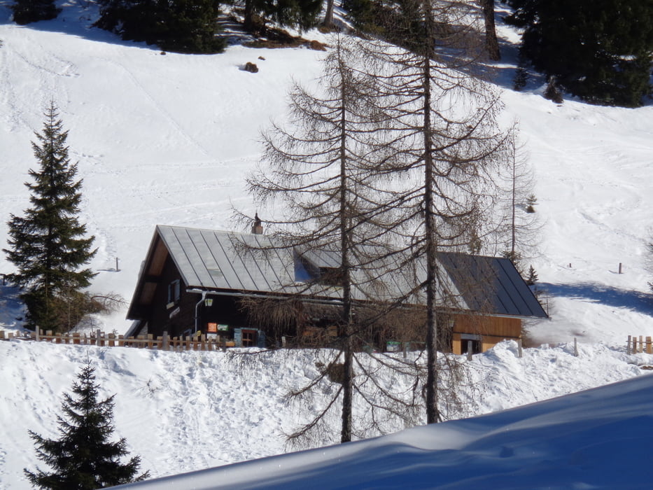
Nach dem Schranken der Forststraße bis zur erstehn Kehre folgen. Hier links auf dem Sommerweg abbiegen. Nach 1 Std. ist die Schönwetterhütte (1442 m, Punkt 66) erreicht.
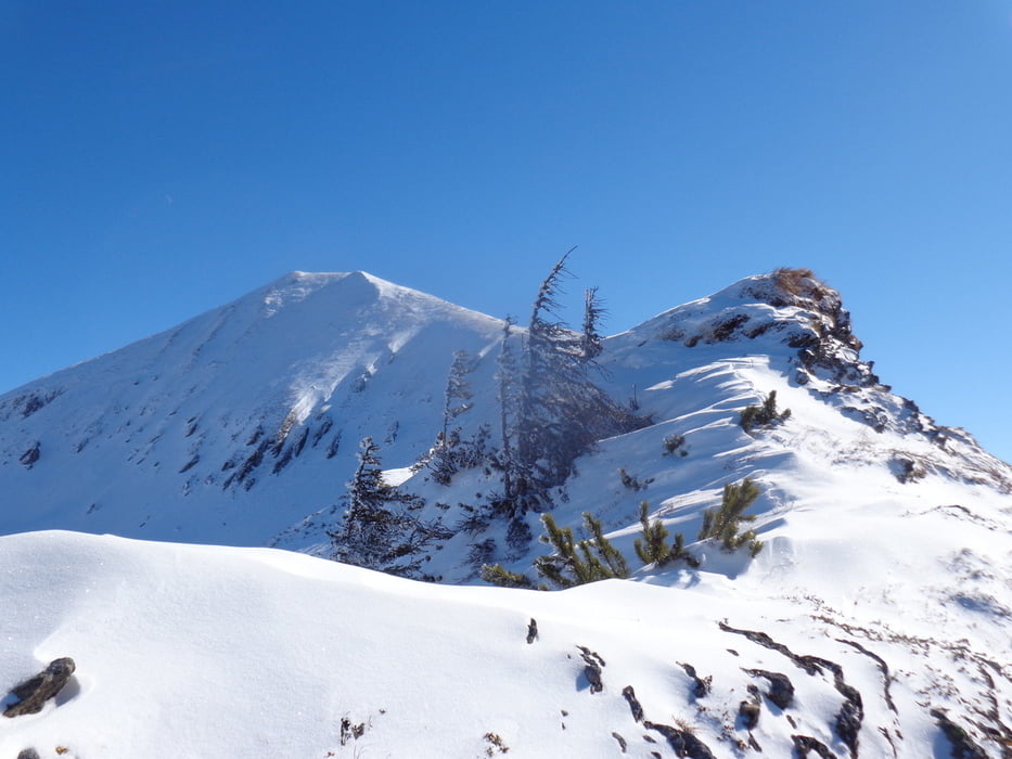
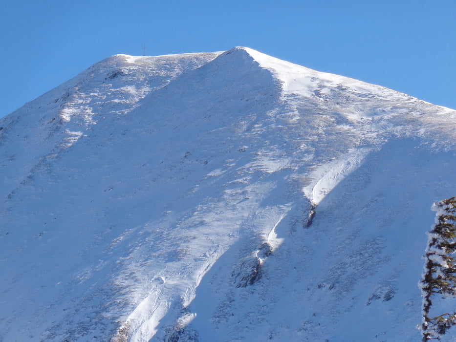
Nun etwas steiler in östlicher Richtung an der Gumpenalm vorbei und hinauf ins Kar. Oberhalb einer weiteren Almhütte in südlicher Richtung über kupiertes Gelände unterhalb des Salzleck zur Einsattelung vor dem Blockfeldspitz. Von der Einsattelung den Rücken hinauf zum höchsten Punkt.
Von hier kann man in etwa 3/4 Std. noch das Gumpeneck besteigen.
Abstieg auf dem Anstiegsweg oder auf dem Rücken weiter bis zum Salzleck und dann hinunter zu den Almen und zur Schönwetterhütte.
galéria trás
Mapa trasy a výškový profil
Minimum height 1031 m
Maximum height 1935 m

komentáre

Von Stein im Ennstal nach Großsölk. Nach Überquerung der Feistabrücke links hinauf zu den Wachlinger-Höfen und zum Schranken. Geringe Parkmöglichkeit.
GPS trasy
Trackpoints-
GPX / Garmin Map Source (gpx) download
-
TCX / Garmin Training Center® (tcx) download
-
CRS / Garmin Training Center® (crs) download
-
Google Earth (kml) download
-
G7ToWin (g7t) download
-
TTQV (trk) download
-
Overlay (ovl) download
-
Fugawi (txt) download
-
Kompass (DAV) Track (tk) download
-
list trasy (pdf) download
-
Original file of the author (gpx) download
Add to my favorites
Remove from my favorites
Edit tags
Open track
My score
Rate