Login

Zabudli ste prihlasovacia meno

Cookies have to be accepted!
Your browser's cookie functionality is disabled. Please enable this functionality.

Not a member yet?

Register now
Login

Available for registred users only

Log in to use this feature.

Zabudli ste prihlasovacia meno

Cookies have to be accepted!
Your browser's cookie functionality is disabled. Please enable this functionality.

Not a member yet?

Register now
Filter
Kategórie
Advanced filters
  • Dĺžka (km)
  • výškomer
Uložiť filter Reset filter

TrackRank

QRCode

Technical data

Dĺžka6,8 km výškomer96 m Way down96 m Doba02:30 h:m dátum22.01.2016
ohodnotenia Author Kraj pôžitok z túry kondícia technika

štatistika

700 náhľady ohodnotenia 2 Stiahnutia priemer
Rate
  • list trasy
  • príjazd
  • Stiahnutia

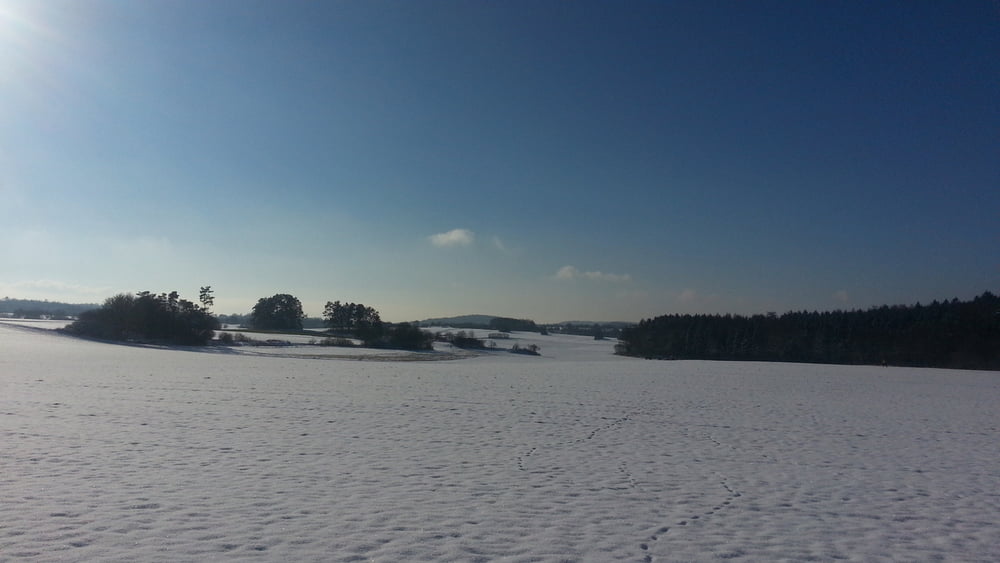
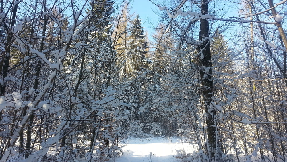
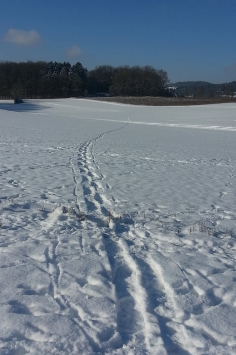
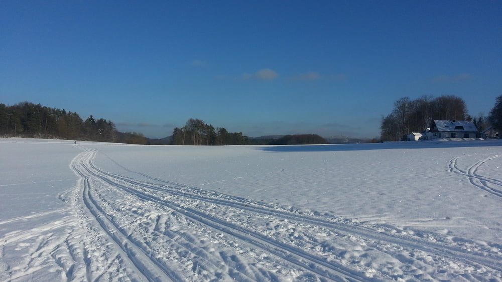
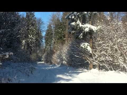
Erster Schnee 2016! Also los: einfach mal geradeaus über Wiesen und Flur... mit einem kleinen Abstecher in den verschneiten Wald.

HINWEIS zum Video:

Mit Mozilla Firefox und Flash- Player Plugin startet das Video direkt.

Andernfalls verwendet ihr in eurem Browser den Link:

 https://www.google.de/#q=yJnV7V4hBlE


galéria trás

Mapa trasy a výškový profil

  • Open Street Map
  • Google
Minimum height 455 m Maximum height 508 m Detailný pohľad

More about the tour author

heinz-57
Member since 2009

Send private message

komentáre

Auf der B2 von Nürnberg kommend durch Gräfenberg hindurch, nach Ortsende links ab nach Egloffstein.Nach Abzweigung links leichte Rechtskurve: Wanderparkplatz.

GPS trasy

Trackpoints
  • GPX / Garmin Map Source (gpx) download
  • TCX / Garmin Training Center® (tcx) download
  • CRS / Garmin Training Center® (crs) download
  • Google Earth (kml) download
  • G7ToWin (g7t) download
  • TTQV (trk) download
  • Overlay (ovl) download
  • Fugawi (txt) download
  • Kompass (DAV) Track (tk) download
  • list trasy (pdf) download
  • Original file of the author (gpx) download

More about the tour author

heinz-57
Member since 2009

Send private message
Share track
Add to my favorites
Remove from my favorites
Edit tags
My score
Rate
trasa: Wandern Franken: mit Schneeschuhen im Kreis Forchheim
Druh: snežnice
Dĺžka: 6,8 km
Evaluated on:
Doba:
Day(s)
Hour(s)
Minute(s)
ohodnotenie: Kraj pôžitok z túry kondícia technika