
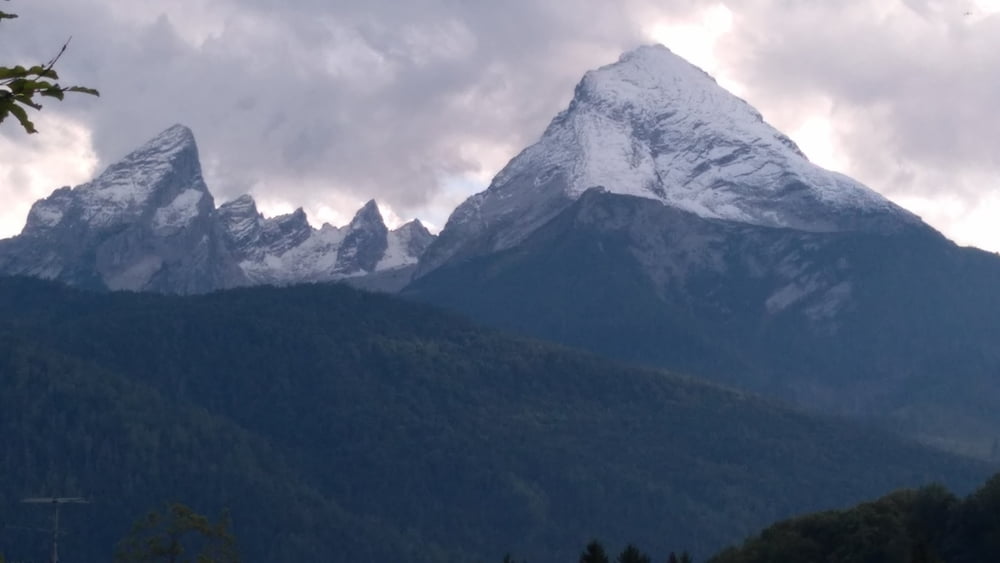

Bike and Hite from Münche-Ost to Schönau / Wimbachbrücke (starting point to Watzmannn).
Both 2000 m up and down.
Our way to Watzmann was a good balance between less traffic on country roads (80% asphalt and 20 % other) in order to do the bike tour on one day (to), second day to hike to mountain Watzmann and to return by bike on third day. Day one and day three are identical and were recorded.
If we would repeat the tour, we would look for an alternative route between Asling and Rott am Inn. The way distance between these villages is about 10 km.
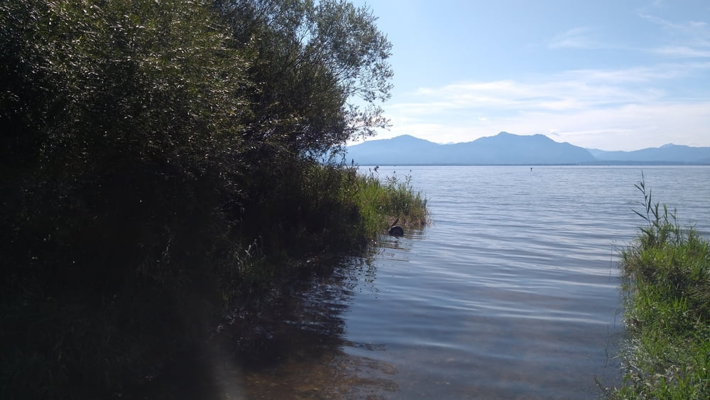
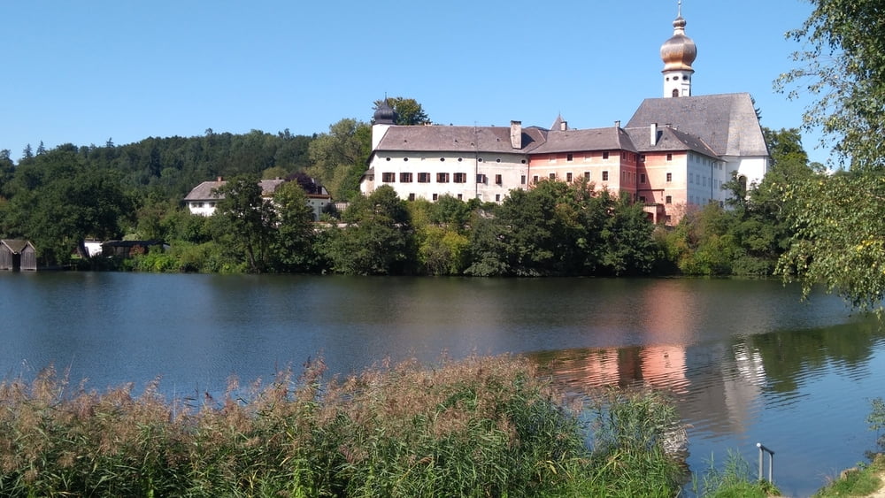
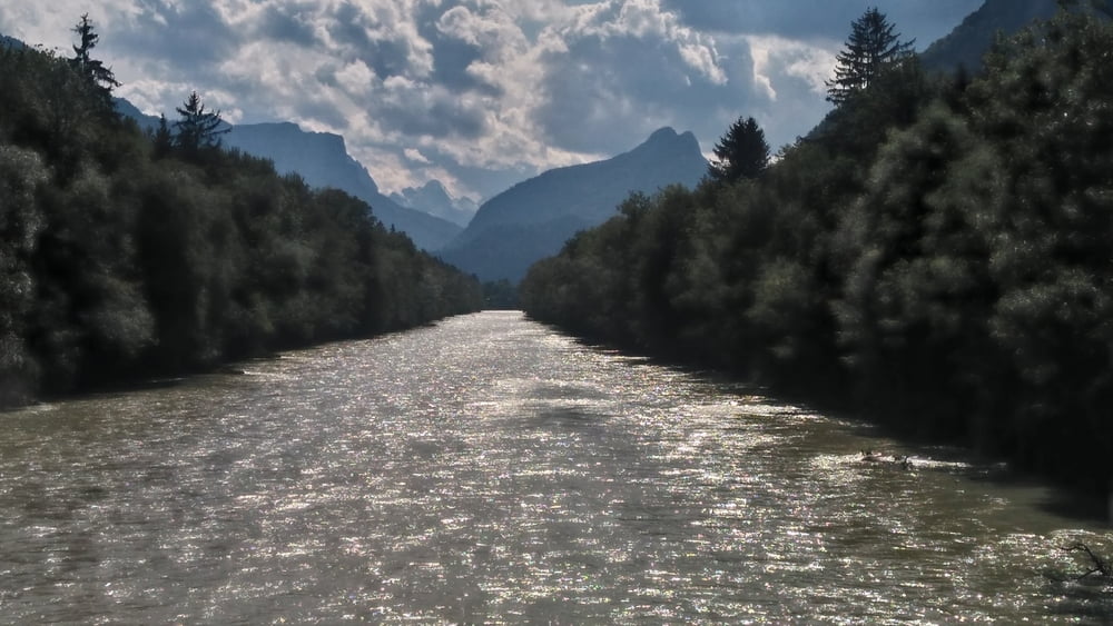
Other than these 10 km, you will see the beauty ouf this country (flowers, country houses, lake Chiemsee, crossing many bridges / rivers).
Congratulations to my friend Thomas who spend many days to find this route.
galéria trás
Mapa trasy a výškový profil
Minimum height 428 m
Maximum height 702 m
More about the tour author

|
fammair |
komentáre

GPS trasy
Trackpoints-
GPX / Garmin Map Source (gpx) download
-
TCX / Garmin Training Center® (tcx) download
-
CRS / Garmin Training Center® (crs) download
-
Google Earth (kml) download
-
G7ToWin (g7t) download
-
TTQV (trk) download
-
Overlay (ovl) download
-
Fugawi (txt) download
-
Kompass (DAV) Track (tk) download
-
list trasy (pdf) download
-
Original file of the author (gpx) download
More about the tour author
|
|
fammair |
Add to my favorites
Remove from my favorites
Edit tags
Open track
My score
Rate