
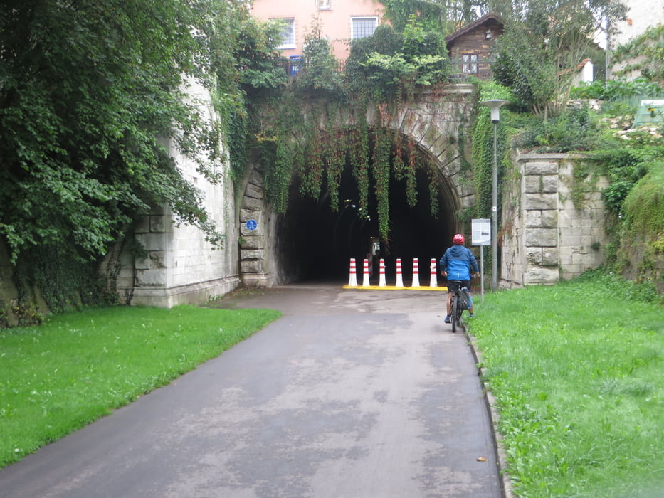

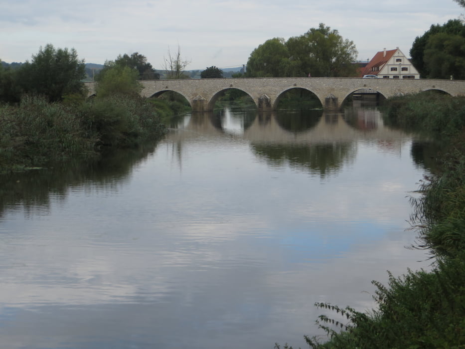
Start ist Donauwörth nahe der Feuerwehr, hier waren noch Parkplätze frei. Jetzt fahren wir quer durch die Stadt, durch einen alten Eisenbahntunnel auf der alter Schienenstrecke gen Westen. Auffallend waren die viele Zwetschgenbäume, die gerade Früchte trugen. Schwer nicht anzuhalten. Die Strecke ist unschwer zu fahren und auch nicht viel befahren. Ein gemütliche Tour durch ruhige Landschaften ohne Schwierigkeiten. Wir sind gemütlich auf unseren E-Bikes die Strecke in 3 gefahren.
galéria trás
Mapa trasy a výškový profil
Minimum height 398 m
Maximum height 546 m
More about the tour author
|
|
tazzo |
komentáre

Unser Start war nahe der Feuerwehr an der Donau
GPS trasy
Trackpoints-
GPX / Garmin Map Source (gpx) download
-
TCX / Garmin Training Center® (tcx) download
-
CRS / Garmin Training Center® (crs) download
-
Google Earth (kml) download
-
G7ToWin (g7t) download
-
TTQV (trk) download
-
Overlay (ovl) download
-
Fugawi (txt) download
-
Kompass (DAV) Track (tk) download
-
list trasy (pdf) download
-
Original file of the author (gpx) download
More about the tour author
|
|
tazzo |
Add to my favorites
Remove from my favorites
Edit tags
Open track
My score
Rate