


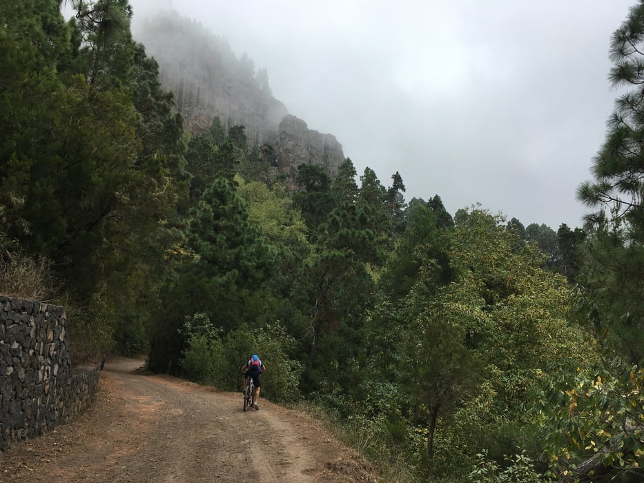
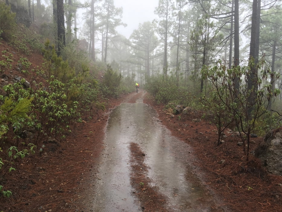
Entlang der Nordseite des Teide Massivs auf meist guten Forstwegen, meist durch (Regen)wald, was auf die Dauer etwas eintönig wird. Bei uns gab es Dauerregen ab der Hälfte. Sehr lange Etappe.
Von Tacoronte steil hinauf, die Kehren der Hauptstraße abkürzend. Dann zu den MTB-trails von Lagunetas und auf dem fast immer gut ausgeschilderten MTB-trail im steten auf und ab nach Westen. Nach km 9 verpassten wir die Abzweigung und fuhren einen kleinen Umweg. Auf der Strecke kommt man an keinerlei Infrastruktur wie Restaurants oder Lebensmittelläden vorbei. Daher lohnt sich bei km 40 der kleine Abstecher nach Aguamansa zum dortigen Restaurant.
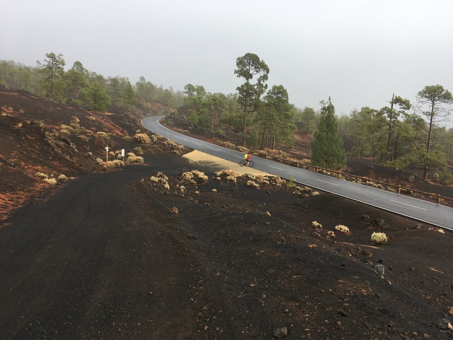
Zunächst bewegt man sich auf ca. 1100 m Höhe, Ab km 65 geht es dann mit kurzen Zwischenabfahrten mehr oder weniger kontinuierlich hinauf bis fast 1700m, wo man die Hauptstraße TF-38 erreicht. Diese hinab nach Chio und auf kleiner Straße hinab an die Küste bei Puerto Santiago. 1700 Hm Abfahrt am Stück!
siehe auch Trackvideo: https://ayvri.com/scene/pmke417w5x/ckh9kdkir0001286inxlenzb2
galéria trás
Mapa trasy a výškový profil
Minimum height 99 m
Maximum height 1729 m
More about the tour author

|
Gi |
komentáre

GPS trasy
Trackpoints-
GPX / Garmin Map Source (gpx) download
-
TCX / Garmin Training Center® (tcx) download
-
CRS / Garmin Training Center® (crs) download
-
Google Earth (kml) download
-
G7ToWin (g7t) download
-
TTQV (trk) download
-
Overlay (ovl) download
-
Fugawi (txt) download
-
Kompass (DAV) Track (tk) download
-
list trasy (pdf) download
-
Original file of the author (gpx) download
More about the tour author
|
|
Gi |
Add to my favorites
Remove from my favorites
Edit tags
Open track
My score
Rate