


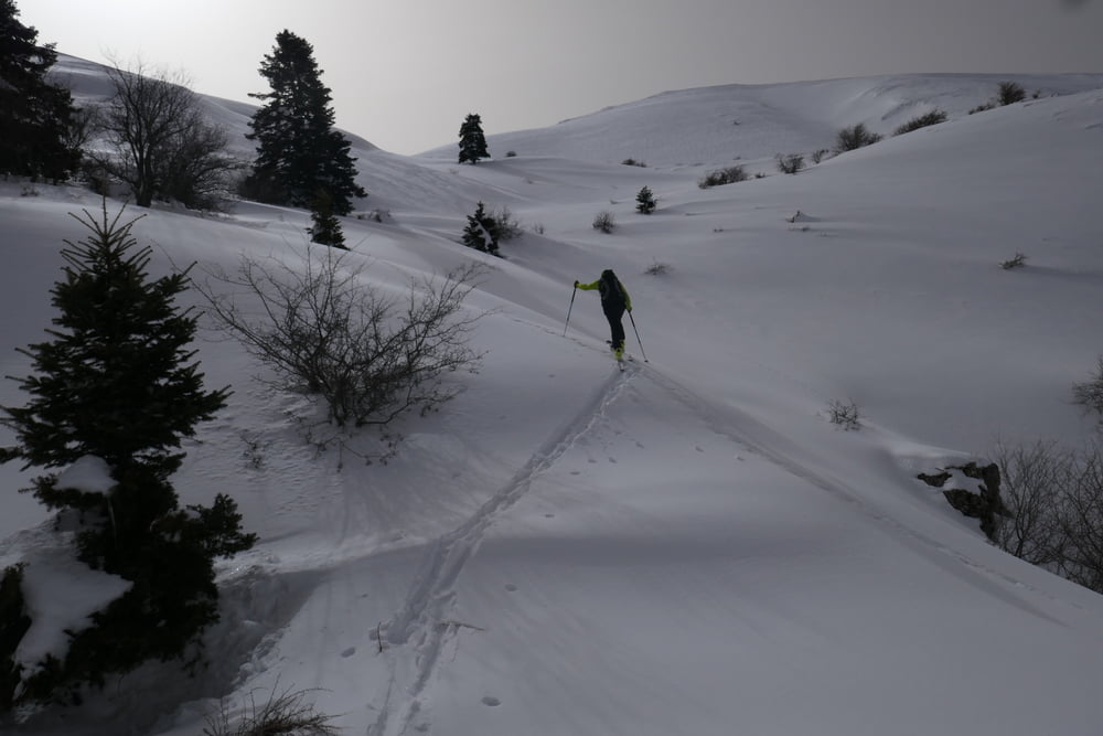
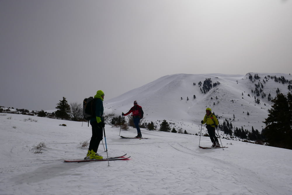
Gradewegs nach Süden bis man weiter oben auf die Straße trifft.Dieser kurz folgen dann verlässt man sie aber nach rechts und geht auf den Gipfel des Ossa zu. Die triebschnee gefüllten Rinnen des Gipfelhanges vermeidet man indem man zuerst weit nach links und dann wieder zurück zum Gipfel quert. Abfahrt wie Aufstieg
galéria trás
Mapa trasy a výškový profil
Minimum height 934 m
Maximum height 2000 m
More about the tour author

|
Gi |
komentáre

Von Litochoro die Autobahn in Richtung Athen bis Euaggelismos. Weiter nach Spilia. Von Spilia die Straße weiter bis zur Abzweigung zur Kissavou Hütte.
GPS trasy
Trackpoints-
GPX / Garmin Map Source (gpx) download
-
TCX / Garmin Training Center® (tcx) download
-
CRS / Garmin Training Center® (crs) download
-
Google Earth (kml) download
-
G7ToWin (g7t) download
-
TTQV (trk) download
-
Overlay (ovl) download
-
Fugawi (txt) download
-
Kompass (DAV) Track (tk) download
-
list trasy (pdf) download
-
Original file of the author (gpx) download
More about the tour author
|
|
Gi |
Add to my favorites
Remove from my favorites
Edit tags
Open track
My score
Rate