


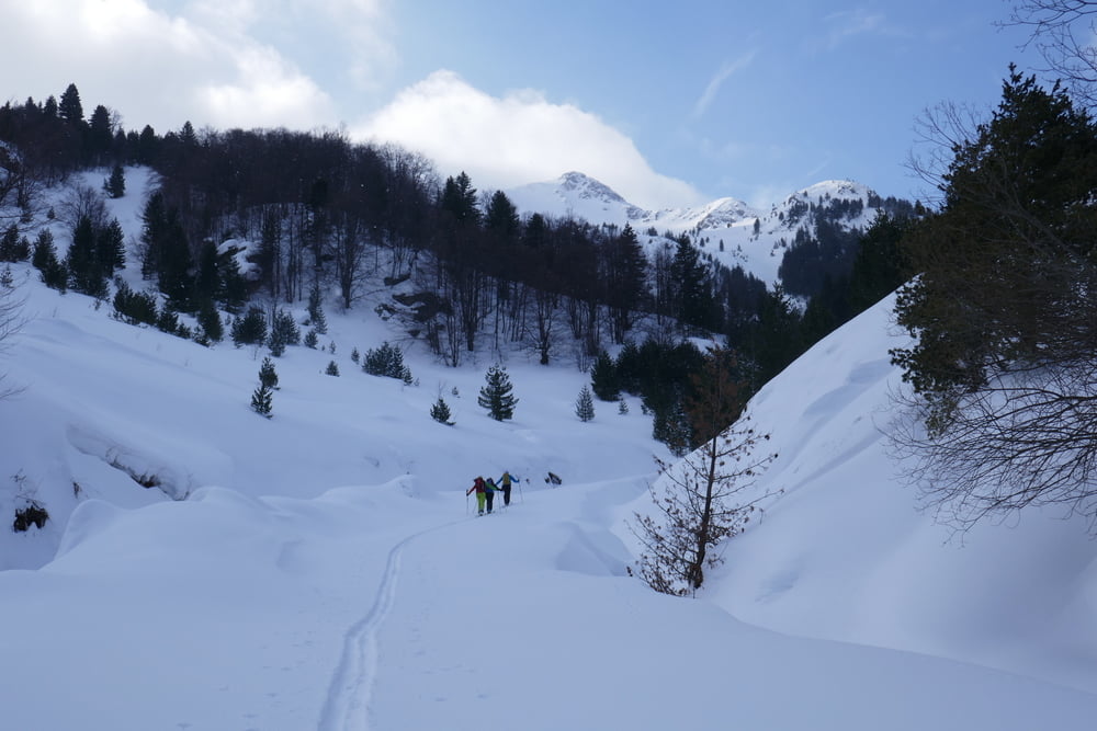
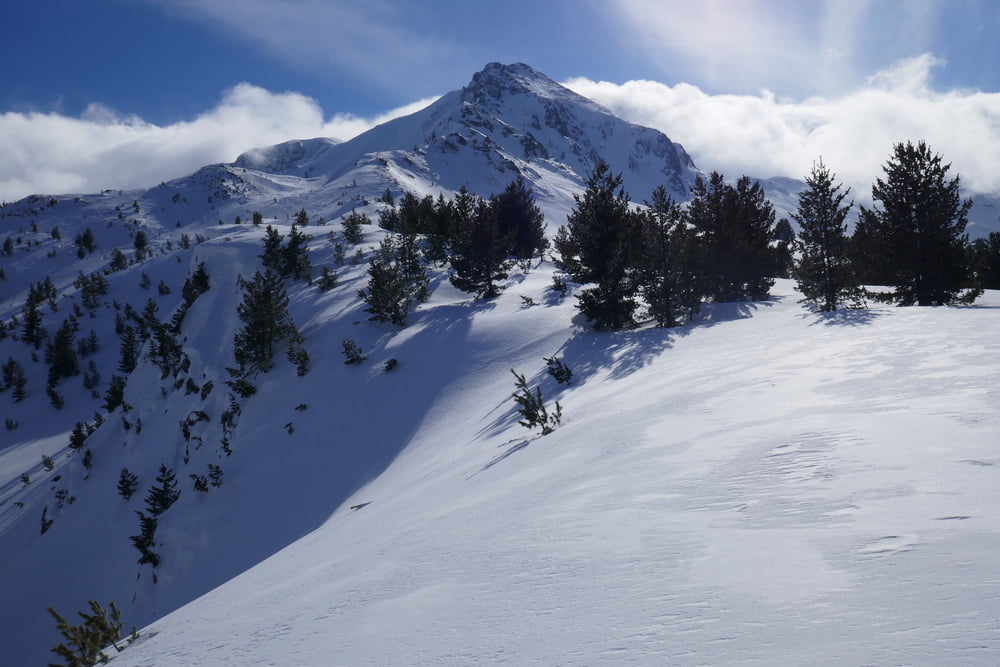
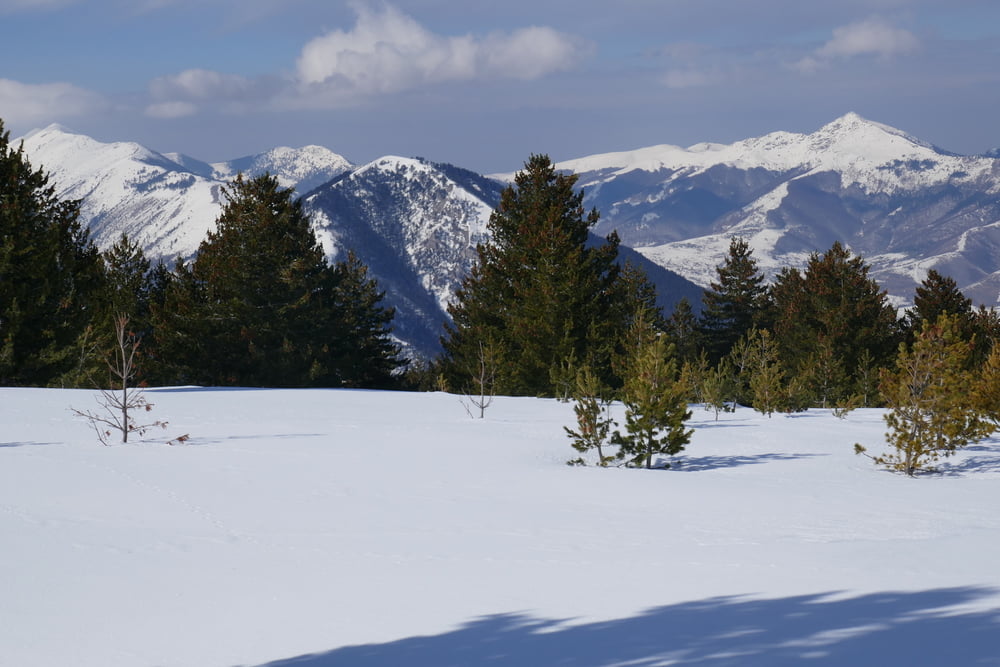
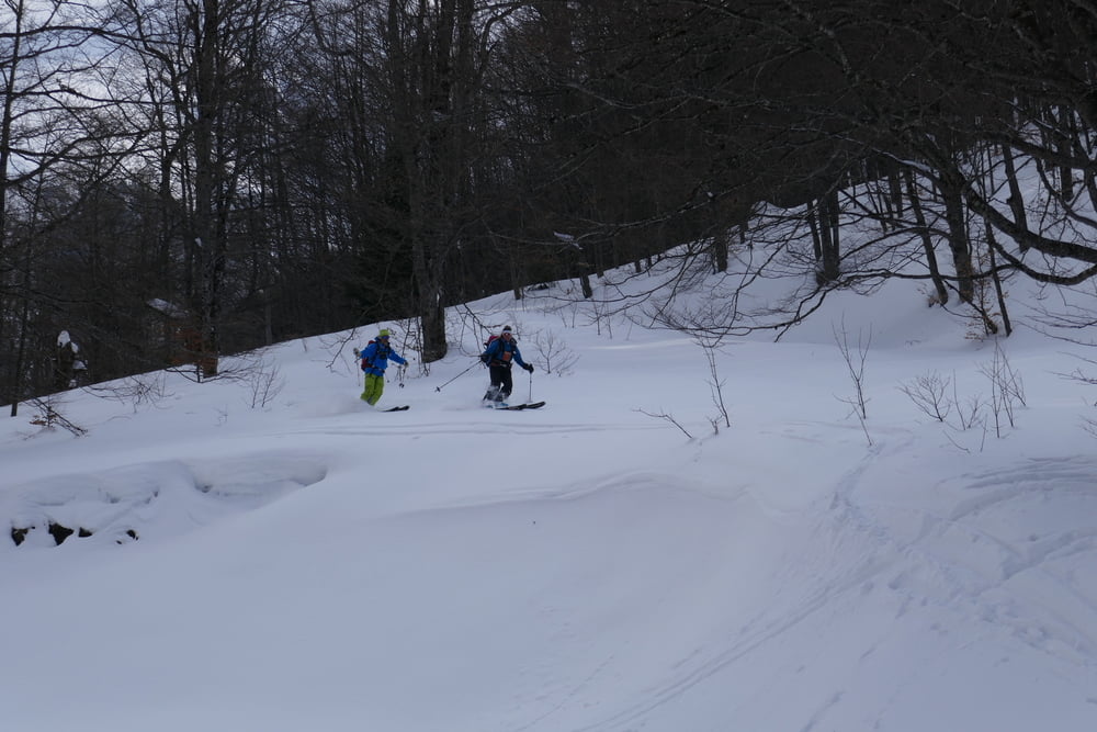
Bei der Schranke auf flache Forststraße. Diese empor bis zu einer kleinem kleinen Stauwehr. Dies über die Treppe links am Funktionsgebäude überwinden. Danach durch lichten Wald eine zunehmend steiler werdende Mulde hinauf. Vor der finalen Querung war für uns wegen des vielen Triebschnees an der Kante aus Sicherheitsgründen mit dem Aufstieg zum Black Rock Schluss. Stattdessen Abfahrt zum Wehrund in Richtung Rid durch den meist lichten Wald angestiegen. Nach der Waldgrenze noch weiter hinauf, je nach Verhältnissen kann durchaus noch weiter hinauf gregangen werden als unser Umkehrpunkt. Anschließend über den Rücken und den lichten Wald zurück zur Forststraße auf der das letzte stück gut zur Straße hinaus läuft.
galéria trás
Mapa trasy a výškový profil
Minimum height 941 m
Maximum height 2086 m
More about the tour author

|
Gi |
komentáre

Von Prevalla nach Brezovica, dort abzweigen zur Mautstraße ins Skigebiet Brecovice. Auf 1450m in Linkskurve geht es ab. Bei uns Parkmöglichkeit kurz oberhalb neben der Straße
GPS trasy
Trackpoints-
GPX / Garmin Map Source (gpx) download
-
TCX / Garmin Training Center® (tcx) download
-
CRS / Garmin Training Center® (crs) download
-
Google Earth (kml) download
-
G7ToWin (g7t) download
-
TTQV (trk) download
-
Overlay (ovl) download
-
Fugawi (txt) download
-
Kompass (DAV) Track (tk) download
-
list trasy (pdf) download
-
Original file of the author (gpx) download
More about the tour author
|
|
Gi |
Add to my favorites
Remove from my favorites
Edit tags
Open track
My score
Rate