


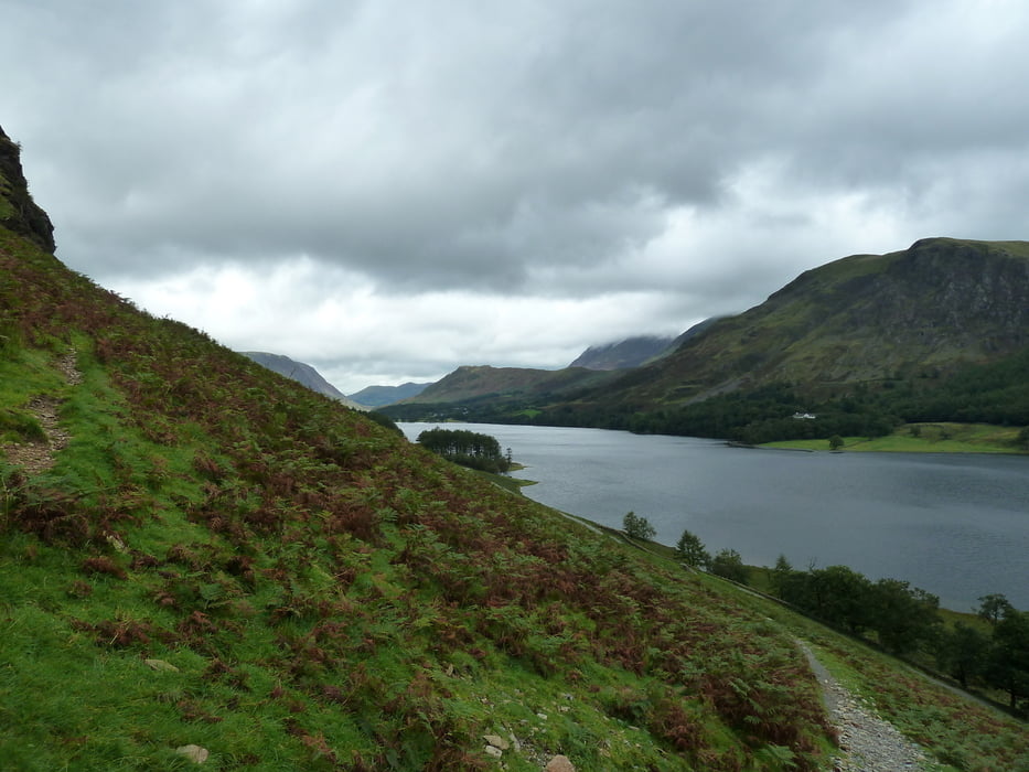
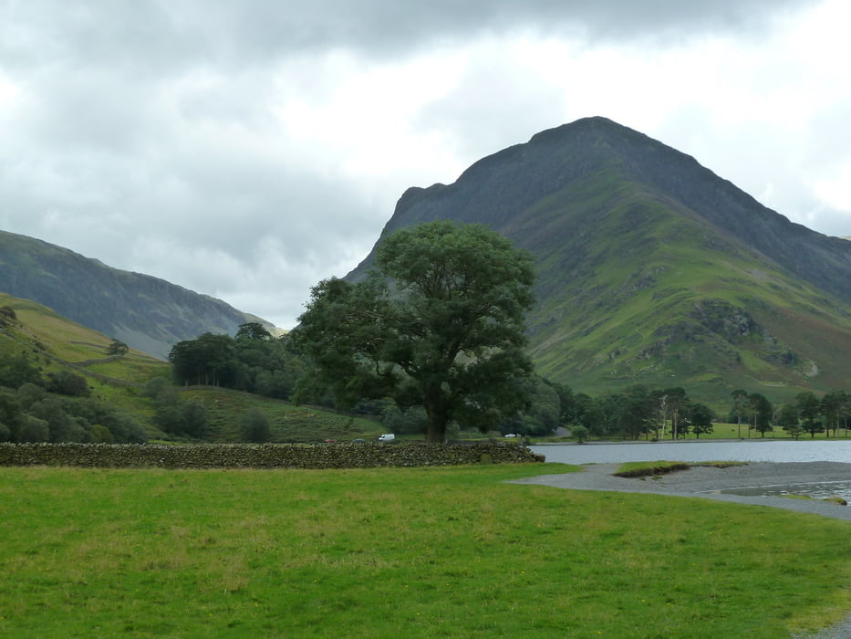
This hiking tour takes you around Lake Buttermere in the Lake District. It's definitely not as spectacular as reaching the summit of one of the surrounding lakeland fells, but it's a nice alternative for days with cloudy weather.
Unlike some other lakes, this one is fully surrounded by a walking track, so you do not need to worry about sharing a narrow lakeside road with cars.
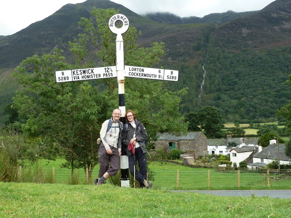
The track starts and ends at a pay and display carpark at Gategarth Farm (Honnister road), but if you come by the direct road from Keswick you can also park at Buttermere.
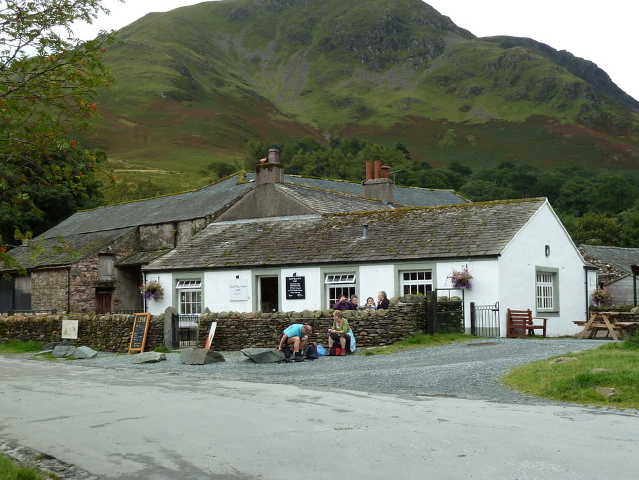
Refreshments are available at the hamlet of Buttermere.
Further information at
http://www.visitcumbria.com/cm/buttermere-lake.htmGalerija izletov
Zemljevid in višinski profil izleta
Minimum height 101 m
Maximum height 154 m
More about the tour author
|
|
Kretakulk |
Komentarji

If you come from Keswick, the direct way follows the A 66 to Braithwaite an then turns southwards. However, the slightly longer road through Borrowdale and over Honnister Pass is more spectacular.
Poti GPS
Trackpoints-
GPX / Garmin Map Source (gpx) download
-
TCX / Garmin Training Center® (tcx) download
-
CRS / Garmin Training Center® (crs) download
-
Google Earth (kml) download
-
G7ToWin (g7t) download
-
TTQV (trk) download
-
Overlay (ovl) download
-
Fugawi (txt) download
-
Kompass (DAV) Track (tk) download
-
List z izleti (pdf) download
-
Original file of the author (gpx) download
More about the tour author
|
|
Kretakulk |
Add to my favorites
Remove from my favorites
Edit tags
Open track
My score
Rate