


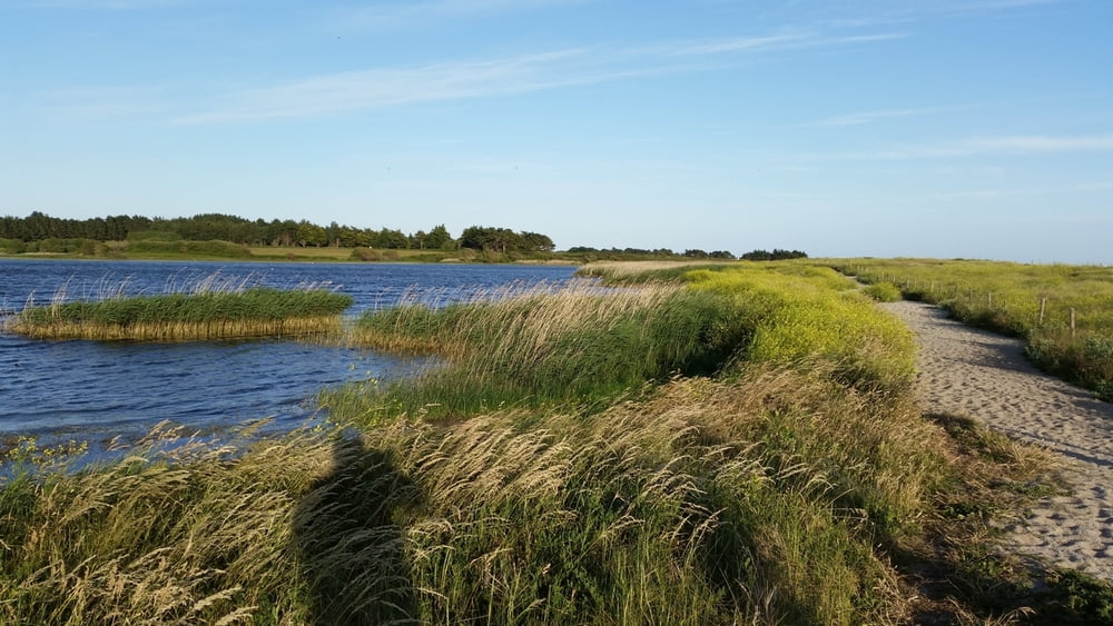
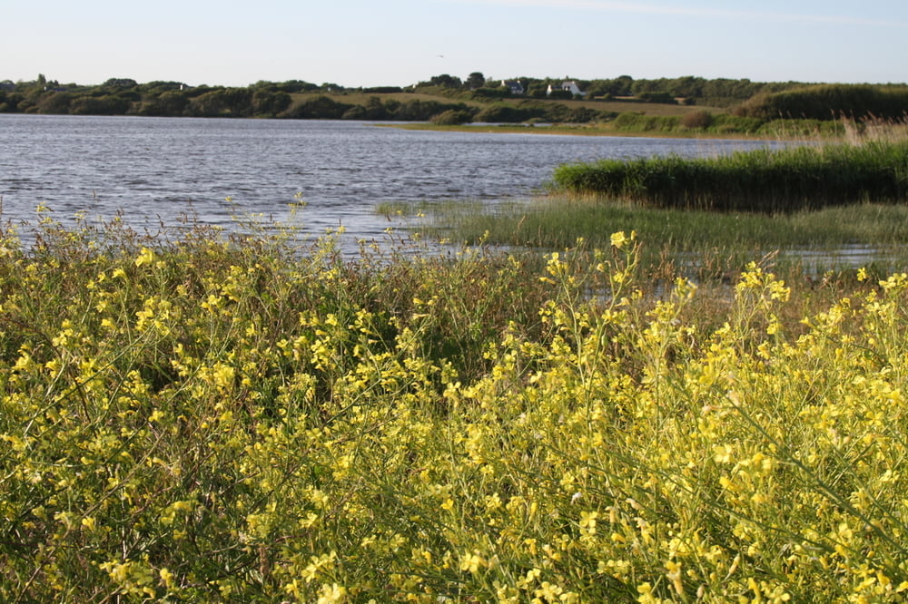
"Ein 6 km langer Dünenstreifen bildet an der Mündung der kleinen Küstenbäche einen natürlichen Damm, durch den 7 Teiche entstanden sind – eine interessante Landschaft innerhalb des 300 ha großen Naturschutzgebietes. Am Eingang des Gebiets, dem Küstenschutzamt Conservatoire du Littoral und dem Conseil Général gehört, befindet sich das „Maison du Littoral“ (Haus des Küstengebiets). Eine schöne Landschaft zum Spazierengehen und zur Naturbeobachtung. Etwa 150 Arten wurden hier gezählt, darunter 75 Nistvögel (Haubentaucher, Blässhuhn, Graureiher...) Im „Maison du littoral“ am Parkeingang gibt es Informationen über die Tier- und Pflanzenwelt in diesem Gebiet."
Galerija izletov


Zemljevid in višinski profil izleta
Minimum height
Maximum height 17 m
More about the tour author
|
|
Sigi2910 |
Komentarji

Poti GPS
Trackpoints-
GPX / Garmin Map Source (gpx) download
-
TCX / Garmin Training Center® (tcx) download
-
CRS / Garmin Training Center® (crs) download
-
Google Earth (kml) download
-
G7ToWin (g7t) download
-
TTQV (trk) download
-
Overlay (ovl) download
-
Fugawi (txt) download
-
Kompass (DAV) Track (tk) download
-
List z izleti (pdf) download
-
Original file of the author (gpx) download
More about the tour author
|
|
Sigi2910 |
Add to my favorites
Remove from my favorites
Edit tags
Open track
My score
Rate