Login

Si pozabil/a podatke za prijavo?

Cookies have to be accepted!
Your browser's cookie functionality is disabled. Please enable this functionality.

Not a member yet?

Register now
Login

Available for registred users only

Log in to use this feature.

Si pozabil/a podatke za prijavo?

Cookies have to be accepted!
Your browser's cookie functionality is disabled. Please enable this functionality.

Not a member yet?

Register now
Filter
Kategorije
Advanced filters
  • Dolžina (km)
  • Metri nadmorske višine
Shrani filter Reset filter

TrackRank

QRCode

Technical data

Dolžina6,4 km Metri nadmorske višine17 m Way down51 m Trajanje02:30 h:m Datum07.12.2022
Ocene Author Pokrajina Dejavnik zabave Kondicija Tehnika

Statistika

127 Pogledi Ocene 0 Prenosi Povprečje
Rate
  • List z izleti
  • Prihod
  • Prenosi
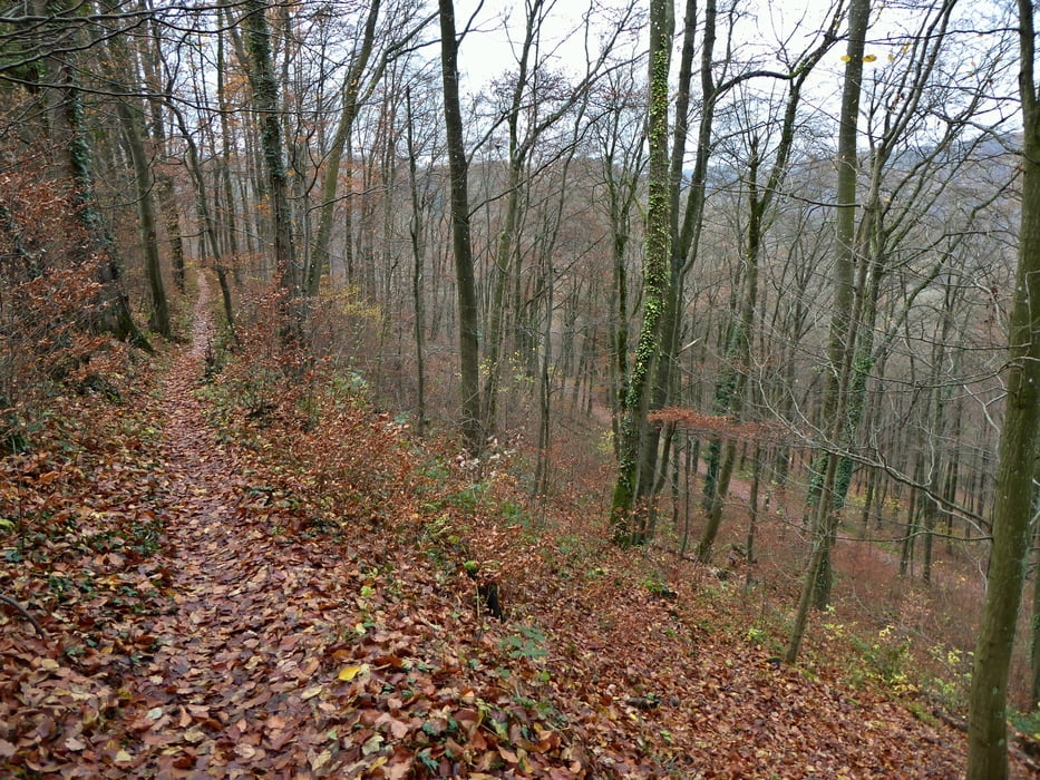
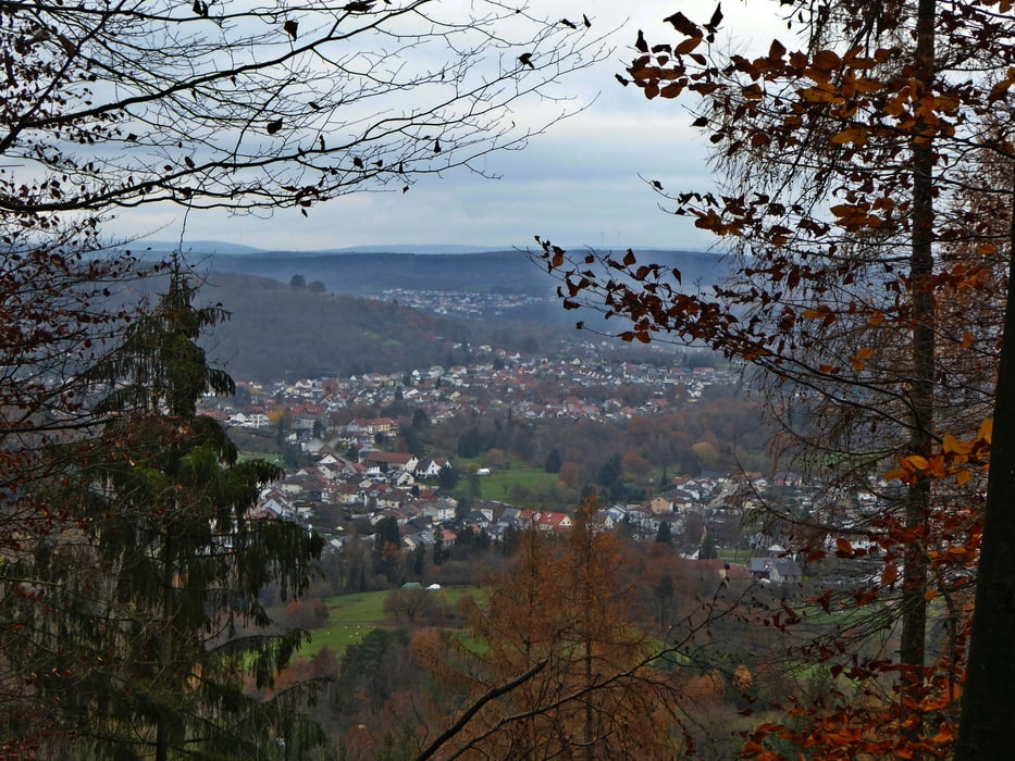
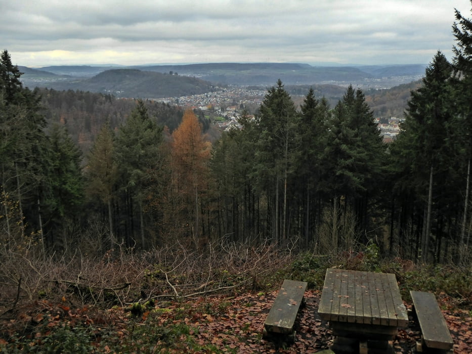
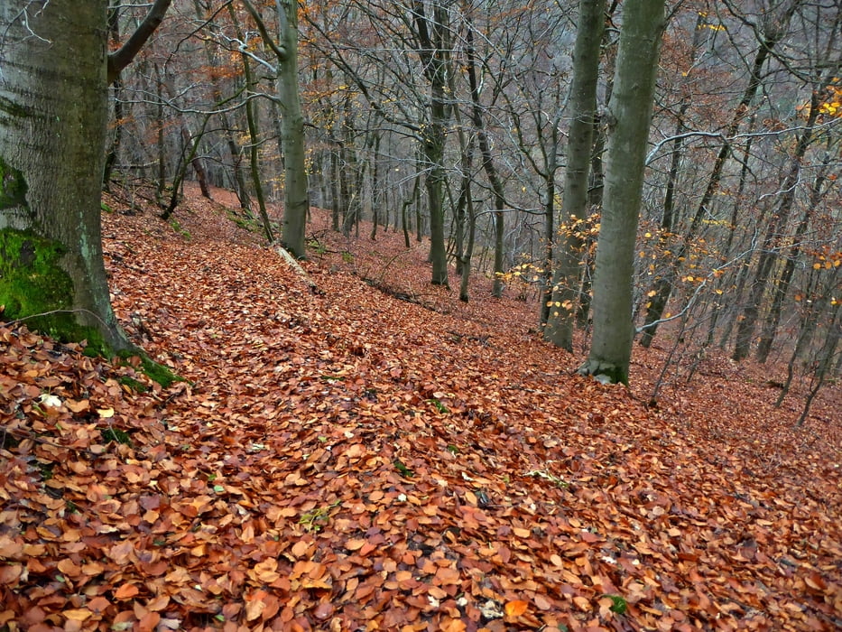
Die Tour startet und endet in Siersburg, Gisingerstraße Parkplatz am Ende der Straße (Alte Sandkaul). Festes Schuhwerk sollte man anhaben. Vieleicht findet man ja auch noch den einen oder andere Golfball auf der Wanderung

Galerija izletov

Zemljevid in višinski profil izleta

  • Open Street Map
  • Google
Minimum height 188 m Maximum height 331 m Prikaz podrobnosti

More about the tour author

Biker-Tommy
Member since 2009

Send private message

Komentarji

Poti GPS

Trackpoints
  • GPX / Garmin Map Source (gpx) download
  • TCX / Garmin Training Center® (tcx) download
  • CRS / Garmin Training Center® (crs) download
  • Google Earth (kml) download
  • G7ToWin (g7t) download
  • TTQV (trk) download
  • Overlay (ovl) download
  • Fugawi (txt) download
  • Kompass (DAV) Track (tk) download
  • List z izleti (pdf) download
  • Original file of the author (gpx) download

More about the tour author

Biker-Tommy
Member since 2009

Send private message
Share track
Add to my favorites
Remove from my favorites
Edit tags
My score
Rate
Izlet: Wandern über den Golfplatztrail
Vrsta: Pešačenje
Dolžina: 6,4 km
Evaluated on:
Trajanje:
Day(s)
Hour(s)
Minute(s)
Ocena: Pokrajina Dejavnik zabave Kondicija Tehnika