


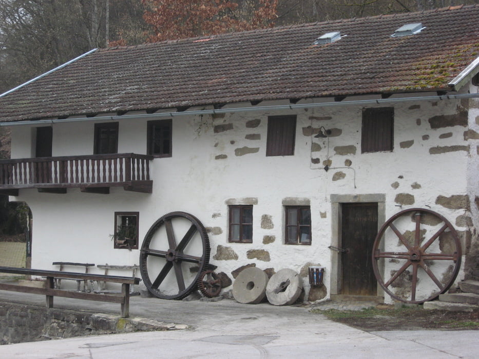
Vom Bahnhof über die Wolfsteiner Ohe und gleich rechts auf dem Triftsteig. Nach dem Kraftwerk entlang des Kanals und kurze Zeit später aufwärts zu den Ortschaften Loizersdorf und Atzldorf. Hinunter und hinauf nach Schnürring und zum Hochwegener Bach. Ein Bienenstall wird passiert und dann geht es ca. 100 Höhenmeter hinunter zur Ilz. Direkt an der Ilz steht die Schrottenbaummühle (Gaststätte).
Weiter am Flussufer durch das schöne Ilz-Tal. Wo die Wolfsteiner Ohe in die Ilz fließt, dieser flussaufwärts folgen. Ein Abstecher hinauf zum Schloss Fürsteneck bietet sich an. Ansonsten weiter am Ufer zurück zum Bahnhof.
Galerija izletov
Zemljevid in višinski profil izleta
Minimum height 372 m
Maximum height 520 m

Komentarji

Von Passau auf der B12 über Hutthurm und Prag hinunter zum Bahnhof Fürsteneck. Parkmöglichkeit.
Poti GPS
Trackpoints-
GPX / Garmin Map Source (gpx) download
-
TCX / Garmin Training Center® (tcx) download
-
CRS / Garmin Training Center® (crs) download
-
Google Earth (kml) download
-
G7ToWin (g7t) download
-
TTQV (trk) download
-
Overlay (ovl) download
-
Fugawi (txt) download
-
Kompass (DAV) Track (tk) download
-
List z izleti (pdf) download
-
Original file of the author (gpx) download
Add to my favorites
Remove from my favorites
Edit tags
Open track
My score
Rate