

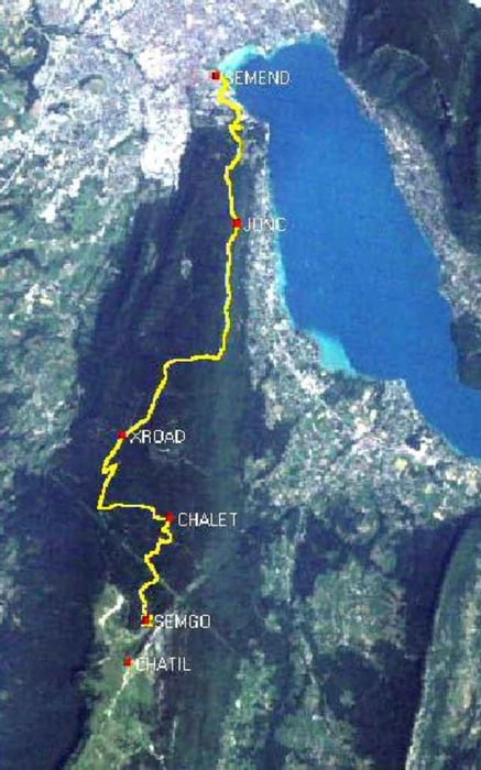

This hike takes in the 14 km length of the Semnoz ridge from the Crêt de Chatillon at 1699 mtr, to the town of Annecy in the Haute Savoire region of France.
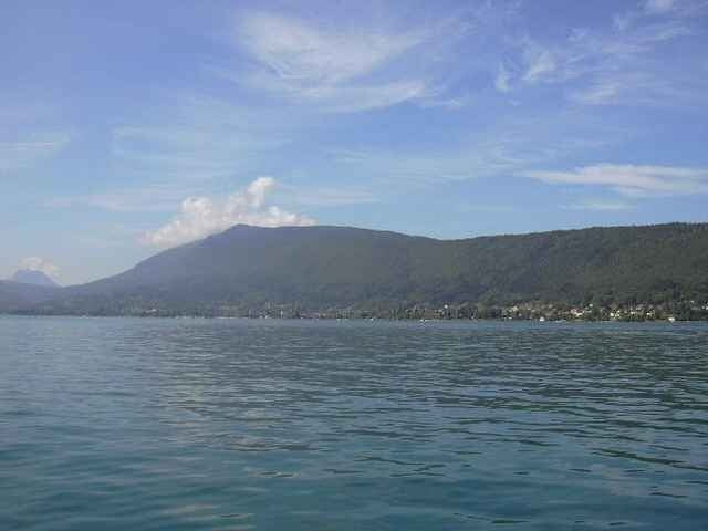
There are wonderful panoramic views at the start, with clear views to Mont Blanc.
I walked the path in July 2004, but it is known locally as a mountain bike trail. Most of the route is on the Grande Randonee that completely circles the Lac de Annecy.
The path is well marked for the most part, although it is worth paying attention at the third Waypoint (Chalet de Benévent) and continue on in the general direction of the hike. I made an error here and added about 2km onto the journey.
The route is clearly shown on the French IGN map number 3431 OT (GPS compatible).
There are wonderful panoramic views at the start, with clear views to Mont Blanc.
I walked the path in July 2004, but it is known locally as a mountain bike trail. Most of the route is on the Grande Randonee that completely circles the Lac de Annecy.
The path is well marked for the most part, although it is worth paying attention at the third Waypoint (Chalet de Benévent) and continue on in the general direction of the hike. I made an error here and added about 2km onto the journey.
The route is clearly shown on the French IGN map number 3431 OT (GPS compatible).
Další informace v části
http://www.sibra.frGalerie tras
Trasa mapa a výškový profil
Minimální výška 438 m
Maximální výška 1593 m
Více o autorovi turné

|
SILVAED |
Komentáře

Více o autorovi turné
|
|
SILVAED |
Přidat do oblíbených
Odebrat z oblíbených položek
Upravit značky
Open track


Moje hodnocení
Hodnotit