


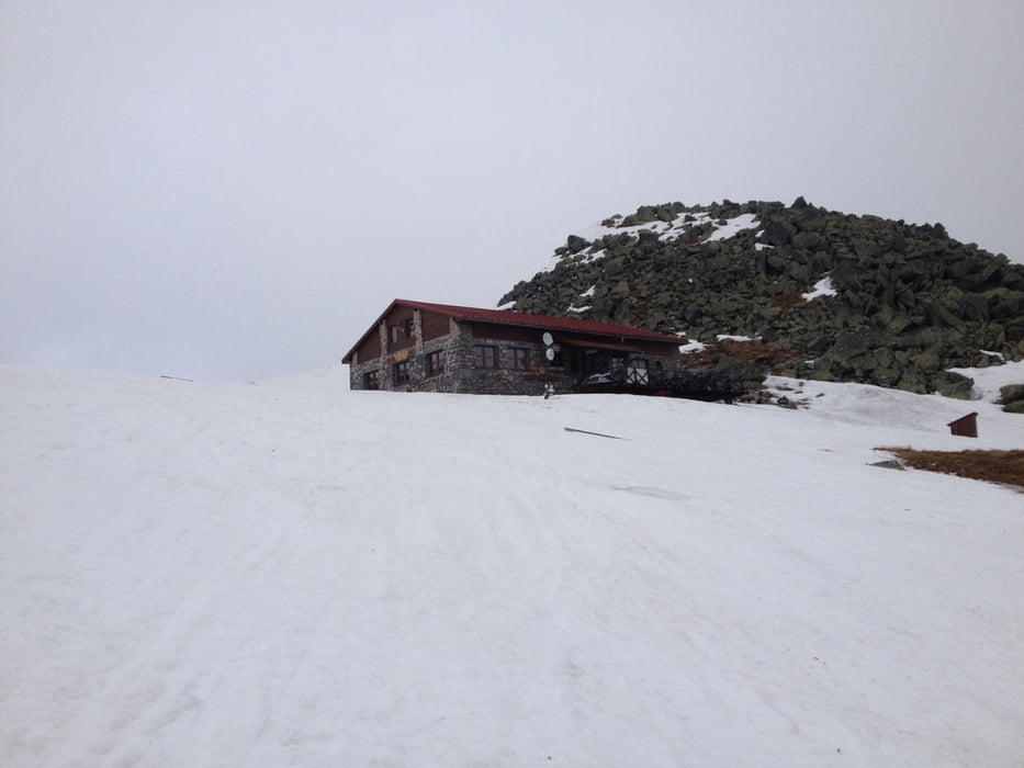
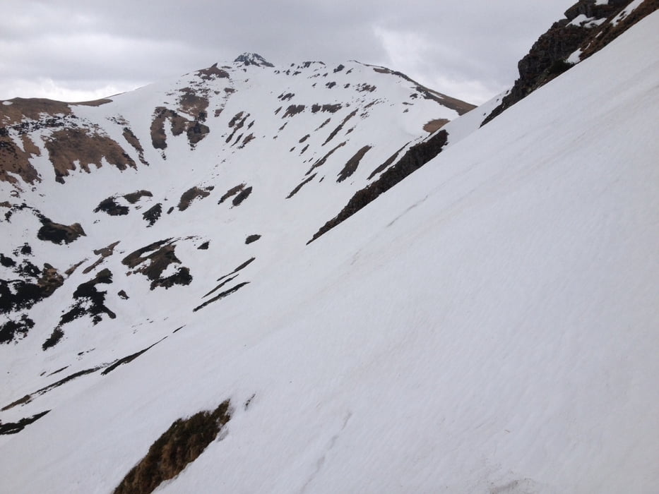
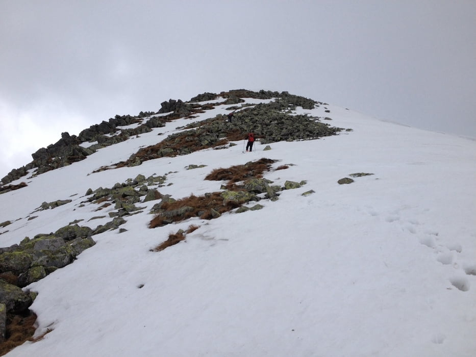
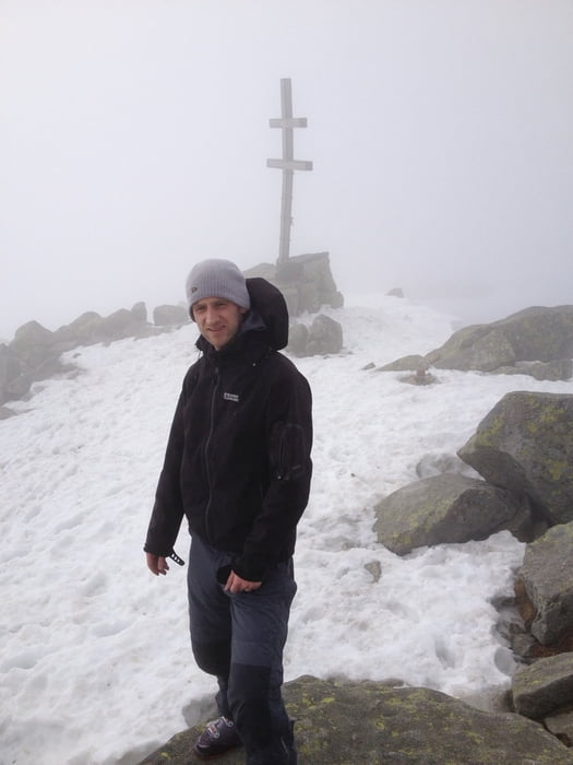
29.4.2013: We left Stefanikova hut at 8:40, passed Ďumbier from left side and went approximately around the contour to the ski lift on Chopok. Then we went directly up the slope to Kamenna hut where it is possible to eat/drink. Then partly down the slope, partly down the forrest to the valley. From the lowest point of the track (1345m) up to the ridge, but the orientation was not easy due to the foggy weather so we missed the planned ascent. Finally we reached the ridge near Konske (1888m), then along the ridge direction Dumbier and then down to Stefanikova hut.
Galerie tras
Trasa mapa a výškový profil
Minimální výška 1345 m
Maximální výška 2026 m
Více o autorovi turné

|
JakubBr |
Komentáře

Více o autorovi turné
|
|
JakubBr |
Přidat do oblíbených
Odebrat z oblíbených položek
Upravit značky
Open track
Moje hodnocení
Hodnotit