

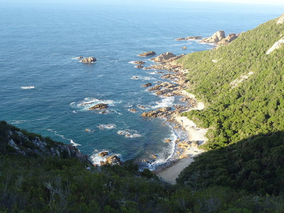

Zweiter Tag des Harkerville Coastal Trails:
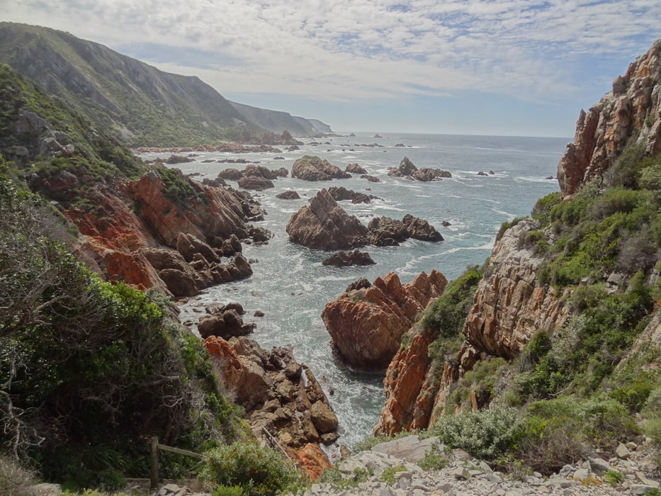
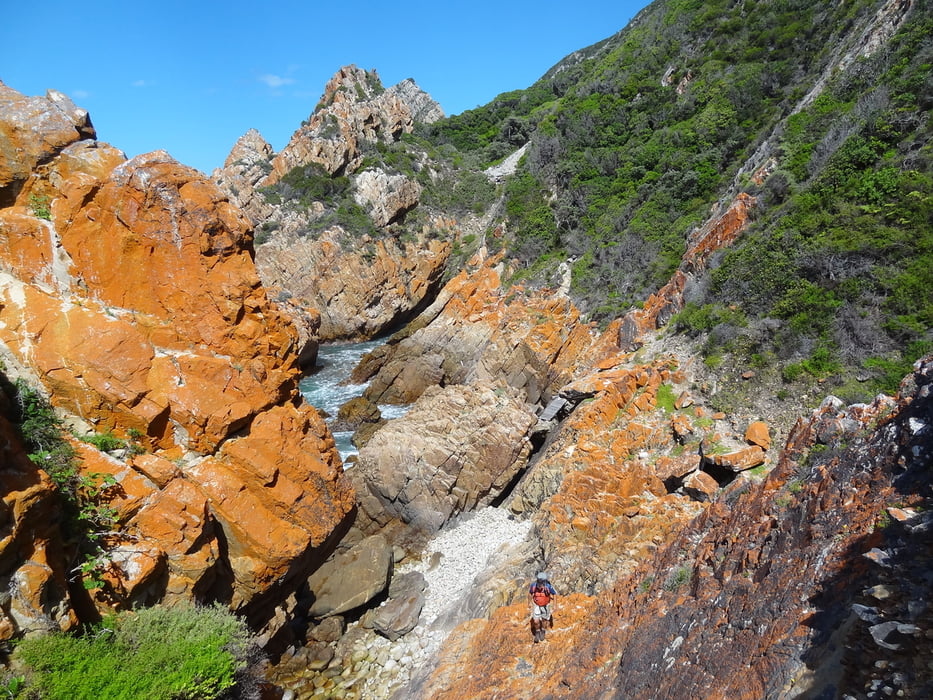
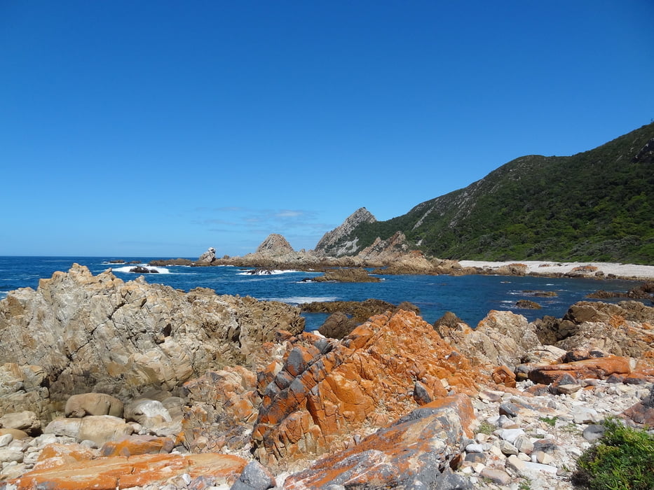
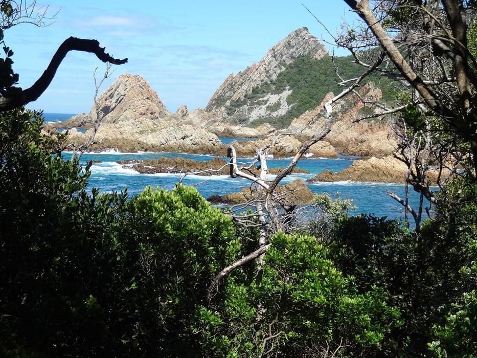
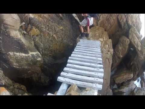
Nachdem wir die Nacht in der Sinclair Hut (sie befindet sich auf dem Plateau über der Küste. Stckbetten/Matratzen sowie Toiletten/Waschbecken vorhanden. Ebenso Feuerholz, Grill und Feuerstelle. Die Hütte ist für max. 12 Personen ausgelegt) wandern wir 1,4km entlang des Plateaus bevor wir kurvenreich zur Mündung des Grooteilandriviers und zur Küste absteigen. Permanent über die grau und orangefarbenen Klippen und Felsen auf- und absteigend klettern wir von einer Bucht zur anderen. Einige Ketten, Leitern und Treppen helfen über die schwierigsten Stellen hinweg.
Nach einem steilen Aufstieg zum Kranshoek Aussichtspunkt, führt der Rest des Wegs stetig durch den Wald zurück zur Harkerville Hut.
=============
Second day of Harkerville Coastal Trail:
After staying in the night in Sinclair Hut (Situated on high ground overlooking the coast. Bunk beds and mattresses are provided as well as a veld toilet. Firewood is available for braaing and warmth. The hut shelters max. 12 People), we are walking about 1,4km along the Plateau, before we descend down to Grooteilandrivier mouth and again to the sea on a twisting track. Climbing up and down over the grey and orange colored rocks and cliffs from one cove to the next. You find some chains, ladders, and stairs helping you via the most difficult sections.
After a steep climb up to the Kranshoek viewsite, the rest of trail leads through thick forest, back to the Harkerville Hut.
===============
http://www.cape-hike.co.za/harkerville-coastal-trail/
https://hikesouthafrica.wordpress.com/harkerville/
http://www.gardenrouteadventureguide.com/harkerville-coastal-hiking-trail.html
http://www.sahikes.co.za/Details.asp?TrailID=93
http://www.gotrekking.co.za/index_files/harkervillehikingtrail.htm
http://www.jhbhiking.co.za/main/harkerville-trail
http://www.ralphpina.com/2013/05/harkerville-coastal-hiking-trail/
Další informace v části
/cs/prohlídky/detail.138436.htmlGalerie tras
Trasa mapa a výškový profil
Minimální výška -2 m
Maximální výška 271 m
Více o autorovi turné
|
|
Traenkerluis |
Komentáře

Více o autorovi turné
|
|
Traenkerluis |
Přidat do oblíbených
Odebrat z oblíbených položek
Upravit značky
Open track


Moje hodnocení
Hodnotit