


A pretty straight forward ride on one of the few roads that are in this area. Described as "flat" on the event website, it is far from "completely" flat. You face some rolling hills and all in all it sums up to some 300m of overall climb.
Unfortunately the road conditions are so-so. This main road - it's actually called highway - is quite a bumpy concrete road. You do not find any major pottholes on the way up to coast but you should make friedns with constant vibrations of your handlebars.
The current date (end of August) is right in the middle of the rainy season. So expect very hot weather when it's not raining (like it was on the race day in 2009) as well as (warm) storms and heavy rain should it rain (like it was on the Saturday before the race).
Due to this fact the flight may be as bumpy as the ride on the bike. :-)
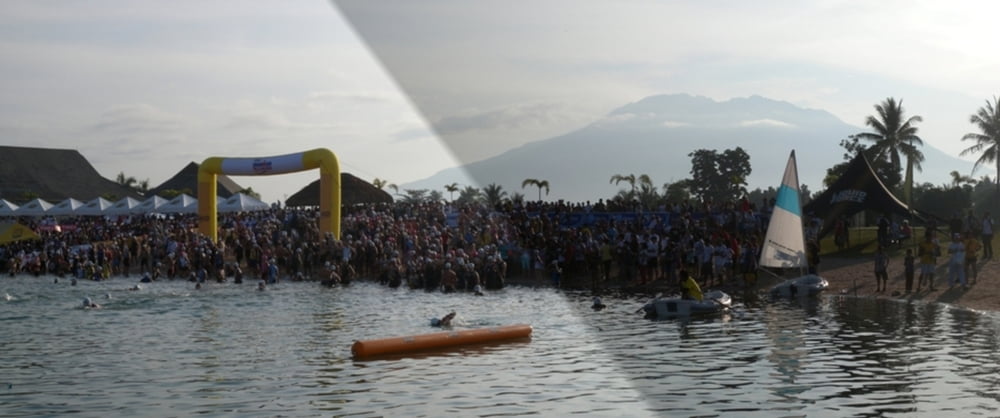
Overall the race is perfectly organized, the swim is very nice and warm in the 2 fresh water man-made lakes and the run takes you through some rice fields and small villages. Gatorade, water and Geld are provided, there is even some shade on the run. On the bike, the drinks are served in bike bottles, which is really an excellent service!
Další informace v části
http://www.ironman703phil.comGalerie tras
Trasa mapa a výškový profil
Minimální výška 9 m
Maximální výška 113 m
Více o autorovi turné
|
|
mblanarik |
Komentáře

Více o autorovi turné
|
|
mblanarik |
Přidat do oblíbených
Odebrat z oblíbených položek
Upravit značky
Open track


Moje hodnocení
Hodnotit