


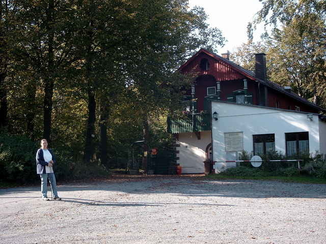
Auf dem Nordweg in westlicher Richtung bis ins Perlenbachtal. Ab hier in nördlicher Richtung westlich am Steinhügel vorbei zum Singerweiher. Ab hier der Markierung "Blauer Punkt im weißen Feld" folgen an der Weißensteinquelle vorbei zum Weißensteingipfel mit Gasthaus und Aussichtsturm.
Nach Turmbesteigung (76 Stufen) und Einkehr weiter der Markierung "Blauer Punkt im weißen Feld" folgen. Zuerst in Richtung Oberbug, dann zwischen Steinhügel und Bärenbühl durch in Richtung Höflas bis zum Waldrand. Ab hier am Waldrand entlang bis an die Kreisstraße BT10. Kurz auf der Kreisstraße oder besser auf einer Pfadsprur durch den Wald bis auf einen Waldweg der zwischen dem Eichenbühl und dem Bahnhof Falls auf den Nordweg führt. Auf diesem zurück zum Bahnhof Falls.
Nach Turmbesteigung (76 Stufen) und Einkehr weiter der Markierung "Blauer Punkt im weißen Feld" folgen. Zuerst in Richtung Oberbug, dann zwischen Steinhügel und Bärenbühl durch in Richtung Höflas bis zum Waldrand. Ab hier am Waldrand entlang bis an die Kreisstraße BT10. Kurz auf der Kreisstraße oder besser auf einer Pfadsprur durch den Wald bis auf einen Waldweg der zwischen dem Eichenbühl und dem Bahnhof Falls auf den Nordweg führt. Auf diesem zurück zum Bahnhof Falls.
Další informace v části
http://www.stammbach.de/weissenstein/home.htmGalerie tras
Trasa mapa a výškový profil
Minimální výška 468 m
Maximální výška 678 m
Více o autorovi turné
|
|
KaufensH |
Komentáře

Von der Anschlußstelle Gefrees der A9 auf der BT8 in westlicher Richtung bis zur Einmündung der Straße Richtung Höflas (BT10). Auf dieser Straße bis zum Bahnhof von Falls.
Trasy GPS
Trackpoints-
GPX / Garmin Map Source (gpx) download
-
TCX / Garmin Training Center® (tcx) download
-
CRS / Garmin Training Center® (crs) download
-
Google Earth (kml) download
-
G7ToWin (g7t) download
-
TTQV (trk) download
-
Overlay (ovl) download
-
Fugawi (txt) download
-
Kompass (DAV) Track (tk) download
-
Formulář trasy (pdf) download
Více o autorovi turné
|
|
KaufensH |
Přidat do oblíbených
Odebrat z oblíbených položek
Upravit značky
Open track
Moje hodnocení
Hodnotit