


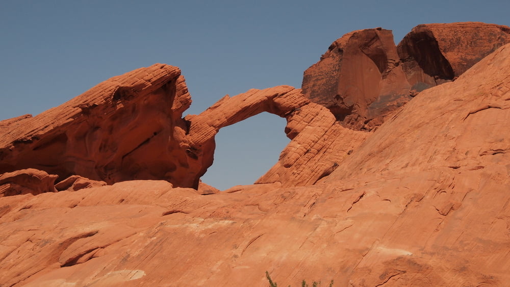
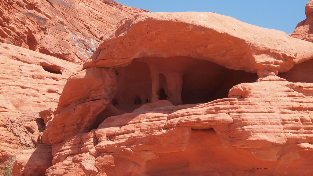
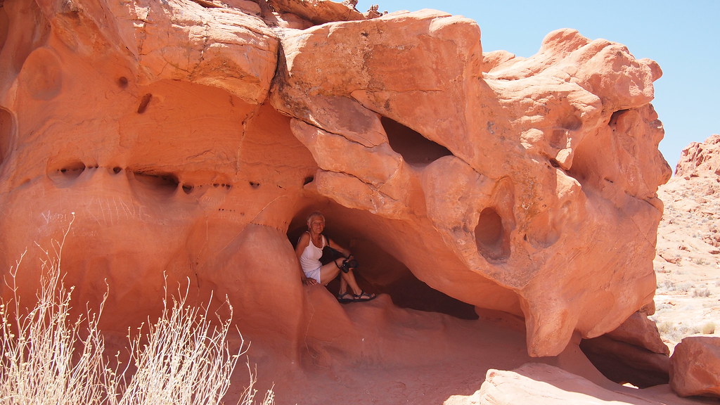
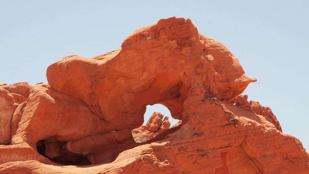
Nevada State Park, lots of information can be found on the internet.
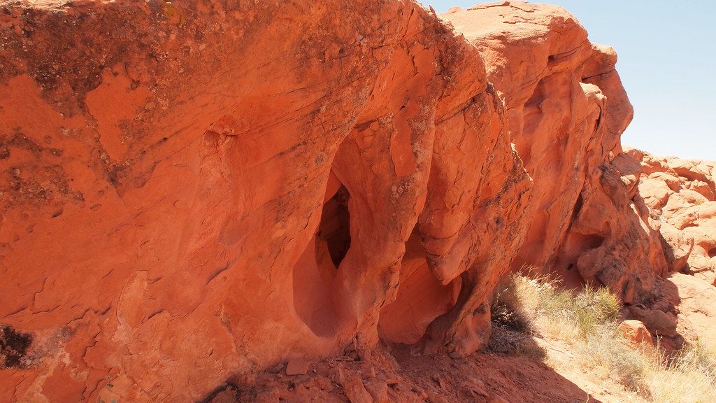
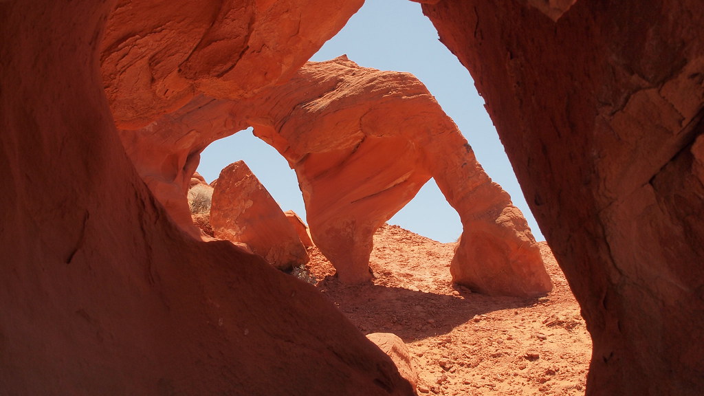
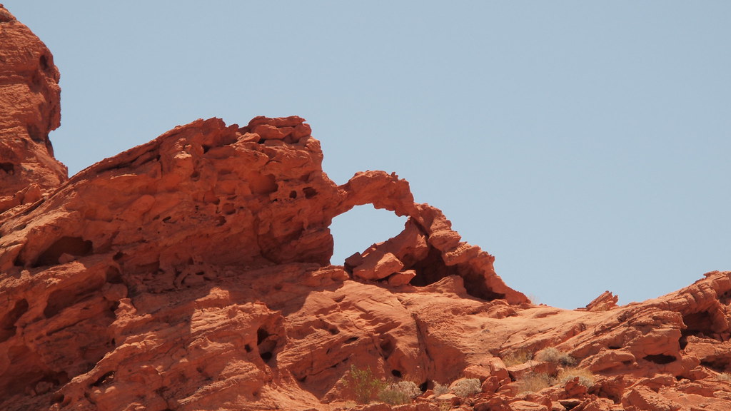
The visit to the Nevada State Park was done in 3 parts: hiking near the Highway, White Domes Road, Hiking North of East Entrance.
The visit to the Nevada State Park was done in 3 parts: hiking near the Highway, White Domes Road, Hiking North of East Entrance.
Tour Galerie


Tour Karte und Höhenprofil
Minimale Höhe 516 m
Maximale Höhe 912 m
Mehr zum Tourautor

|
willydn |
Kommentare

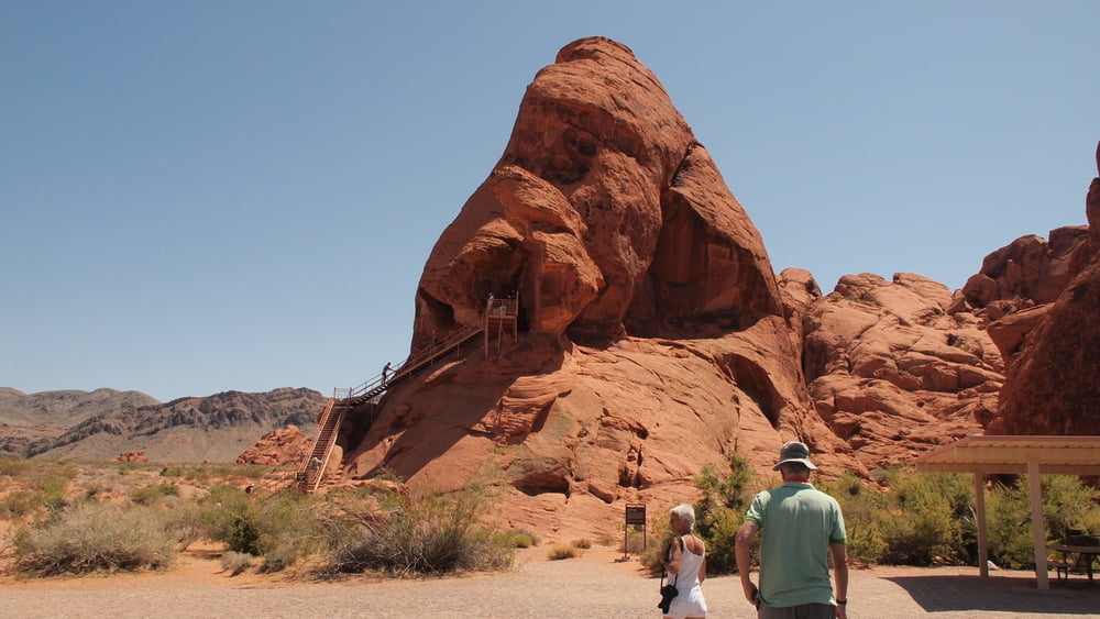
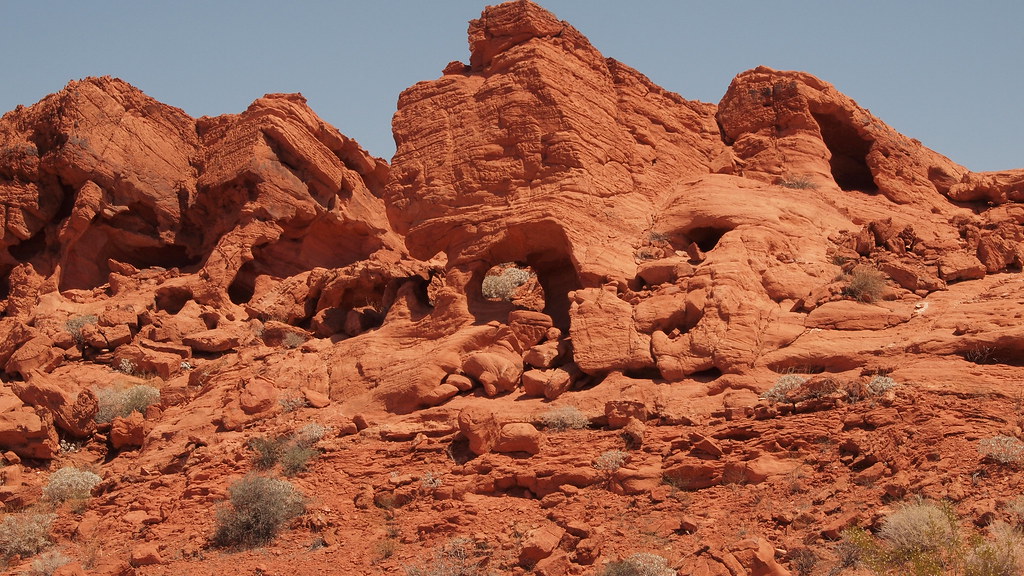
Valley of Fire East Entrance
Coming from Mesquite we choose for the East entrance.
The East Entrance to the Valley of Fire State Park is located off State Route 169, 8 miles south of the town of Overton and 1/4 mile north of Overton Beach Marina.
Go through Moapa Valley, take Exit #93 off Interstate 15 and head south on 169/Moapa Valley Blvd.
You will pass through the towns of Logandale and Overton in Moapa Valley.
Approximately 8 miles after leaving Overton you will come to the Entrance Road to the Valley of Fire on your right.
GPS-Tracks
Trackpunkte-
GPX / Garmin Map Source (gpx) download
-
TCX / Garmin Training Center® (tcx) download
-
CRS / Garmin Training Center® (crs) download
-
Google Earth (kml) download
-
G7ToWin (g7t) download
-
TTQV (trk) download
-
Overlay (ovl) download
-
Fugawi (txt) download
-
Kompass (DAV) Track (tk) download
-
Tourenblatt (pdf) download
-
Originaldatei des Autors (gpx) download
Mehr zum Tourautor
|
|
willydn |
Zu meinen Favoriten hinzufügen
Von meinen Favoriten entfernen
Tags bearbeiten
Tour öffnen
Meine Bewertung
Bewerten