


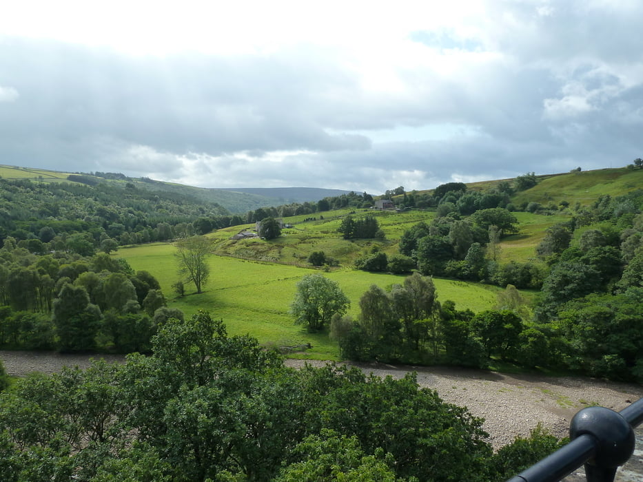
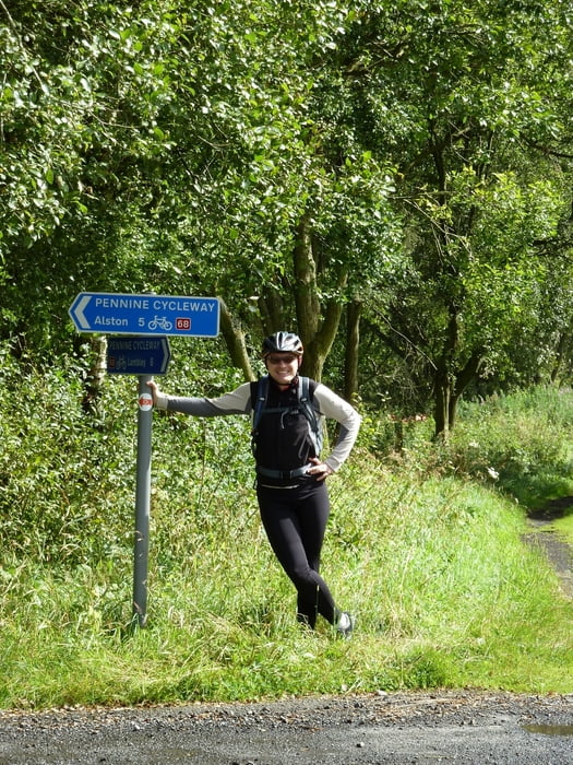
This bicycle tour takes you from Haltwhistle into the Northern Pennines, following the South Tyne Trail. For most of the time it follows an old railway track which runs through South Tynedale. The track leads to Alston, an old leadmining town located in the "North Pennines Area of Outstanding Natural Beauty".
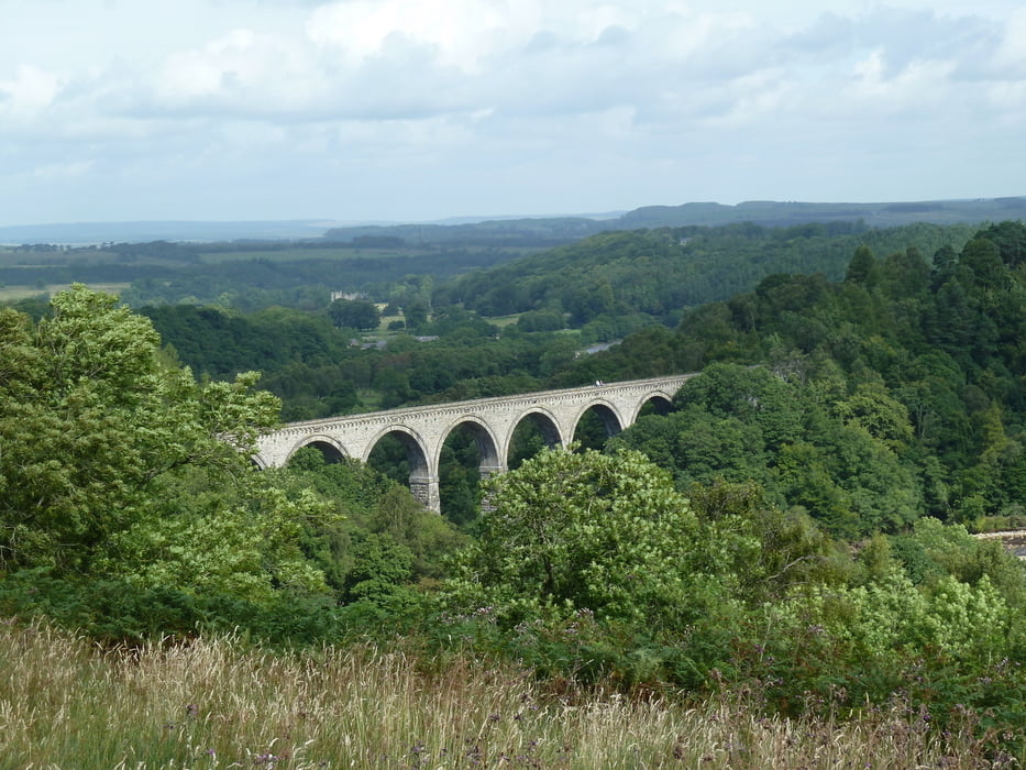
The track makes a small detour to visit Lambley viaduct. The viaduct is open for walkers and bikers and it offers some great views of South Tynedale. Unfortunately a landowner at the southern end of the viaduct does not allow bikers onto his premises, and so bikers will have to go back to the road in order to cross South Tyne River at a much lower level.
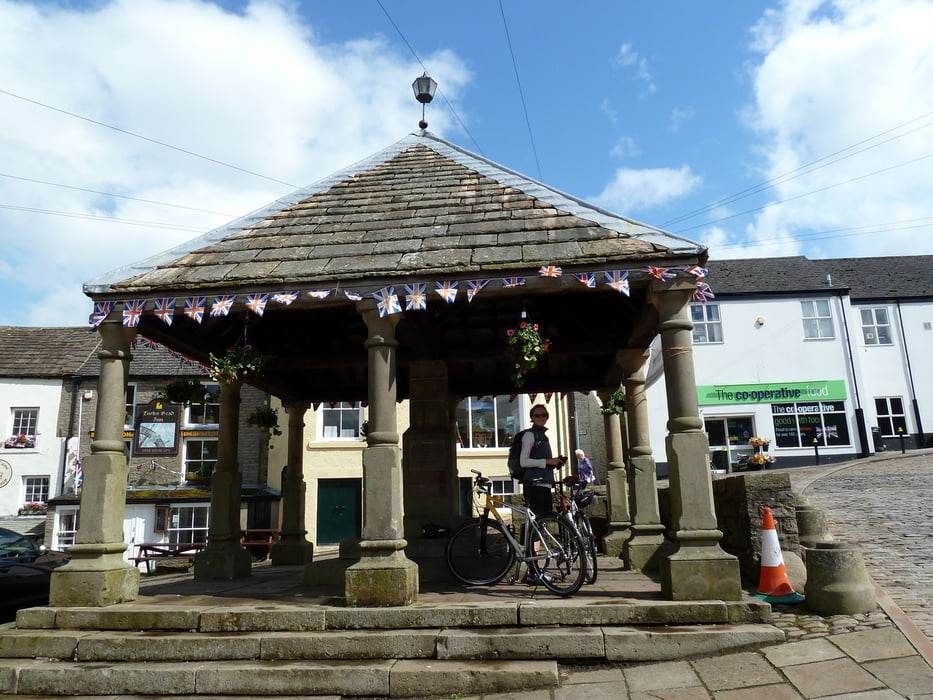
The track can be followed with a touring bike, but there short climbs which need to be taken. Refreshments can be found at Alston.
Notice: Directly after leaving Haltwhistle the track follows a road for approximately two miles. During the time of our visit the South Tyne Trail had been partly washed out due to heavy rain.
Weitere Informationen unter
http://www.northpennines.org.uk/Pages/SouthTynetrail.aspxTour Galerie
Tour Karte und Höhenprofil
Minimale Höhe 111 m
Maximale Höhe 292 m
Mehr zum Tourautor
|
|
Kretakulk |
Kommentare

The best possibility to start is at Haltwhistle Station. There is a free car park, and you can also come by train.
GPS-Tracks
Trackpunkte-
GPX / Garmin Map Source (gpx) download
-
TCX / Garmin Training Center® (tcx) download
-
CRS / Garmin Training Center® (crs) download
-
Google Earth (kml) download
-
G7ToWin (g7t) download
-
TTQV (trk) download
-
Overlay (ovl) download
-
Fugawi (txt) download
-
Kompass (DAV) Track (tk) download
-
Tourenblatt (pdf) download
-
Originaldatei des Autors (gpx) download
Mehr zum Tourautor
|
|
Kretakulk |
Zu meinen Favoriten hinzufügen
Von meinen Favoriten entfernen
Tags bearbeiten
Tour öffnen
Meine Bewertung
Bewerten