


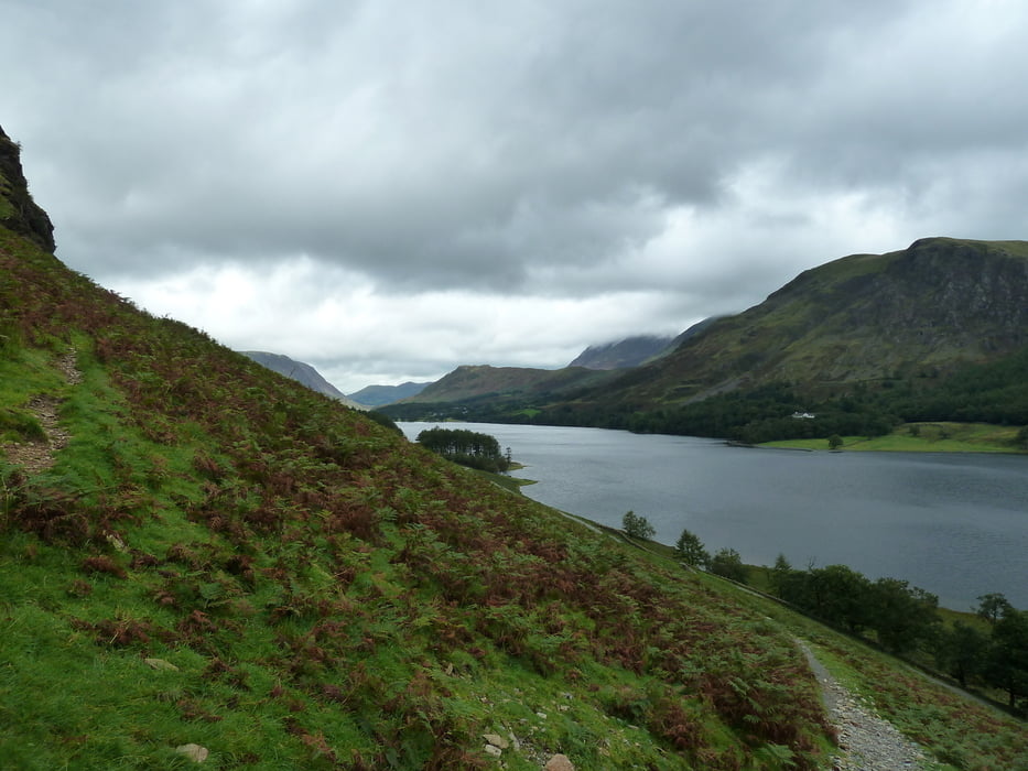
This hiking tour takes you around Lake Buttermere in the Lake District. It's definitely not as spectacular as reaching the summit of one of the surrounding lakeland fells, but it's a nice alternative for days with cloudy weather.
Unlike some other lakes, this one is fully surrounded by a walking track, so you do not need to worry about sharing a narrow lakeside road with cars.
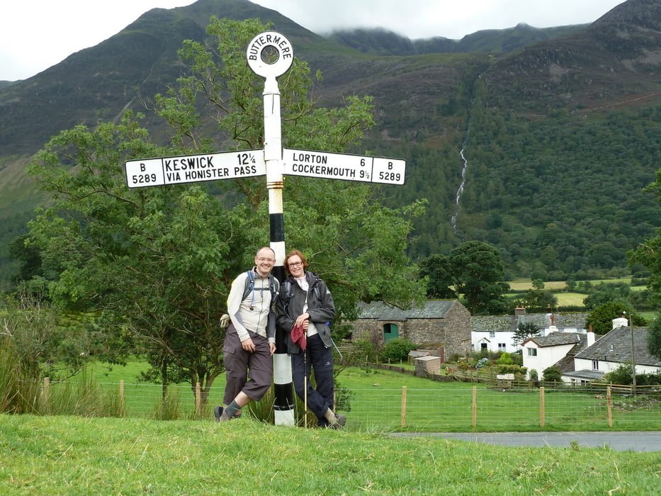
The track starts and ends at a pay and display carpark at Gategarth Farm (Honnister road), but if you come by the direct road from Keswick you can also park at Buttermere.
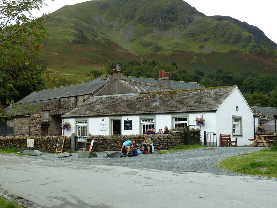
Refreshments are available at the hamlet of Buttermere.
Weitere Informationen unter
http://www.visitcumbria.com/cm/buttermere-lake.htmTour Galerie
Tour Karte und Höhenprofil
Minimale Höhe 101 m
Maximale Höhe 154 m
Mehr zum Tourautor
|
|
Kretakulk |
Kommentare

If you come from Keswick, the direct way follows the A 66 to Braithwaite an then turns southwards. However, the slightly longer road through Borrowdale and over Honnister Pass is more spectacular.
GPS-Tracks
Trackpunkte-
GPX / Garmin Map Source (gpx) download
-
TCX / Garmin Training Center® (tcx) download
-
CRS / Garmin Training Center® (crs) download
-
Google Earth (kml) download
-
G7ToWin (g7t) download
-
TTQV (trk) download
-
Overlay (ovl) download
-
Fugawi (txt) download
-
Kompass (DAV) Track (tk) download
-
Tourenblatt (pdf) download
-
Originaldatei des Autors (gpx) download
Mehr zum Tourautor
|
|
Kretakulk |
Zu meinen Favoriten hinzufügen
Von meinen Favoriten entfernen
Tags bearbeiten
Tour öffnen
Meine Bewertung
Bewerten