
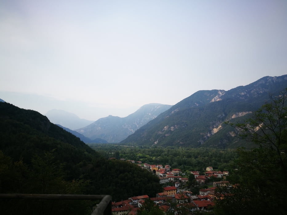

Start in Avasinis, go around Monte Covria either following the Strada Vechia (forrest road, if you find it) or following the main road. The uphil starts ~1km befor Peonis on the right, it is a road of asphalt. Follow this road until ~500m. Turn right on the forrest road. Follow this one until the intersection with another road of asphalt ~850m. Follow the MTB signs to the right until there is an obvious intersection with hiking trails (many signs).
Follow another forrest roas to the right (the only one having no signs)
Follow this overgrown forrest road until ~1000m. Take care, the start of the trail is hardly visible.
Trail is interrupted by a forrest glade and a small building. Pass the building, cross the small road and you will find the trail again.
Tour Karte und Höhenprofil
Minimale Höhe 185 m
Maximale Höhe 996 m
Mehr zum Tourautor

|
rockandal |
Kommentare

GPS-Tracks
Trackpunkte-
GPX / Garmin Map Source (gpx) download
-
TCX / Garmin Training Center® (tcx) download
-
CRS / Garmin Training Center® (crs) download
-
Google Earth (kml) download
-
G7ToWin (g7t) download
-
TTQV (trk) download
-
Overlay (ovl) download
-
Fugawi (txt) download
-
Kompass (DAV) Track (tk) download
-
Tourenblatt (pdf) download
-
Originaldatei des Autors (gpx) download
Mehr zum Tourautor
|
|
rockandal |
Zu meinen Favoriten hinzufügen
Von meinen Favoriten entfernen
Tags bearbeiten
Tour öffnen
Meine Bewertung
Bewerten