


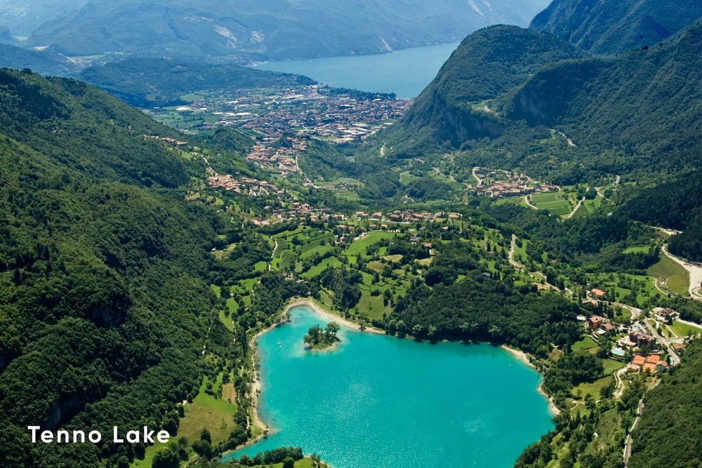
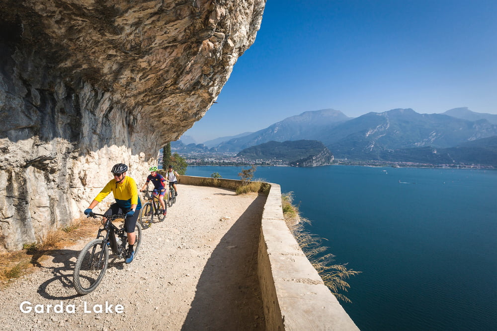
The Dolomiti-Garda DOGA alpine cycle route crosses the magnitude of the Natural Park Adamello Dolomiti Brenta to reach the picturesque Garda Lake in Trentino. The route has a distance of 110 km along tarmac and some gravel sections. Starting in Malè in Val di Sole, the route meanders between remote valleys, alpine villages and magnificent landscapes as far as the eye can see.
Weitere Informationen unter
https://www.doga-cycling.it/en/Tour Galerie


Tour Karte und Höhenprofil
Minimale Höhe 74 m
Maximale Höhe 1666 m
Mehr zum Tourautor

|
Helios_Bolzano |
Kommentare

By bike
The DOGA cycle route runs parallel to the EUROVELO route 7. From Mezzocorona you can cross the Val di Non cycle path to the starting point in Malé.
![]()
There are many connections that stop at Mezzocorona, Trento and Rovereto. Both local transport (Trentino Trasporti) and Flixbus. Please make sure beforehand whether it is also possible to take the bike with you on the respective bus connection.
![]()
Both national (Trenitalia) and international long-distance connections (DB and ÖBB) stop in Trento. (transport of the bike only with prior reservation). Via the train connection Trento-Malé, which stops in Mezzocorona, you will reach the starting point in Malè. Bicycles can also be transported on all regional trains along the Brenner axis
![]()
Via the Brenner highway A22 exit Mezzocorona. From there, it is advisable to park at the train station and to take the Trento-Malé train to the starting point. When returning from Rovereto either directly on the Etschtalradweg back to Mezzocorona or with the regional train.
GPS-Tracks
Trackpunkte-
GPX / Garmin Map Source (gpx) download
-
TCX / Garmin Training Center® (tcx) download
-
CRS / Garmin Training Center® (crs) download
-
Google Earth (kml) download
-
G7ToWin (g7t) download
-
TTQV (trk) download
-
Overlay (ovl) download
-
Fugawi (txt) download
-
Kompass (DAV) Track (tk) download
-
Tourenblatt (pdf) download
-
Originaldatei des Autors (gpx) download
Mehr zum Tourautor
|
|
Helios_Bolzano |
Zu meinen Favoriten hinzufügen
Von meinen Favoriten entfernen
Tags bearbeiten
Tour öffnen
Meine Bewertung
Bewerten