


Date: July 26, 2011
Start:1960 m (Lindlerkasa)
Finish: 1960 m (Lindlerkasa)
(if you arrive by car, you can start at Sadnighaus, or before Sadnighaus turn right on a dirt road and drive a bit futher until Auernigalm and park there)
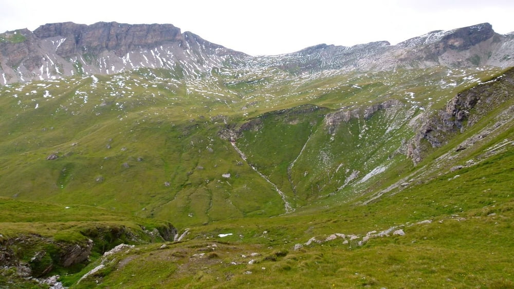
Highest point: 2390 m (shortly after Schobertörl)
Lowest point: 1896 m (near Lindlerkasa)
Total ascent: 580 m
Total descent: 580 m
**************************
Do not take anything, do not leave anything!
**************************
Please, do NOT leave trash behind. Paper tissues are also trash! Chocolate wrap as well. Bring a small trash bag with you and take your trash with yourself to the next trash can. It is not that heavy.
**************************
Weitere Informationen unter
https://picasaweb.google.com/beatahardi/2011072330AstentalNyaralas?authuser=0&feat=directlinkTour Galerie

Tour Karte und Höhenprofil
Minimale Höhe 1896 m
Maximale Höhe 2391 m
Mehr zum Tourautor
|
|
beepee |
Kommentare

Places where you can eat and drink:
if you arrive by car: Sadnighaus
There are no restaurants or 'Hütte' on the hike.
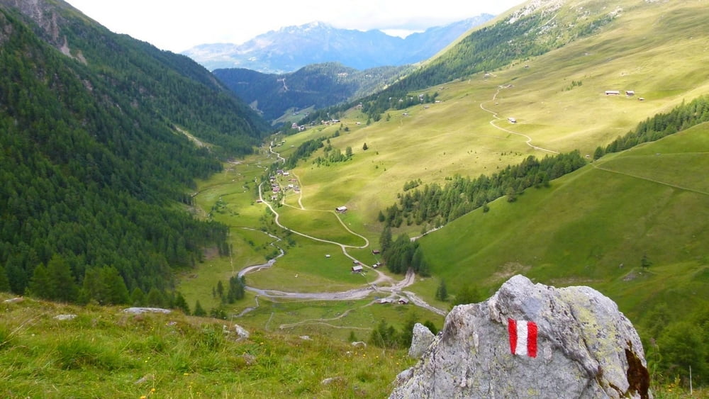
Route:
1. Lindlerkasa or parking by Auernigalm
2. follow the signs towards Schobertörl
3. at Schobertörl, turn left, but do NOT follow the road to Duisbürger Hütte
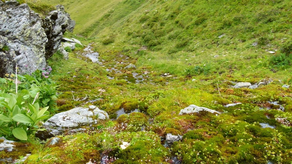
4. the trail from Schobertörl to shortly before Kröllalm is NOT marked. However, it is shown on Garmin Topo Österreich v2, so if you use your GPS or our track, you can follow the trail.
5. you need to follow some creeks and descend into a valley, then reach a house and you will find marked trail again next to the house
6. follow the red trail marks back to Astental - keep left to get a close glimpse on another beautiful waterfall!
Make sure to bring plenty of water!!!
**************************
Do not take anything, do not leave anything!
**************************
Please, do NOT leave trash behind. Paper tissues are also trash! Chocolate wrap as well. Bring a small trash bag with you and take your trash with yourself to the next trash can. It is not that heavy.
**************************
GPS-Tracks
Trackpunkte-
GPX / Garmin Map Source (gpx) download
-
TCX / Garmin Training Center® (tcx) download
-
CRS / Garmin Training Center® (crs) download
-
Google Earth (kml) download
-
G7ToWin (g7t) download
-
TTQV (trk) download
-
Overlay (ovl) download
-
Fugawi (txt) download
-
Kompass (DAV) Track (tk) download
-
Tourenblatt (pdf) download
-
Originaldatei des Autors (gpx) download
Mehr zum Tourautor
|
|
beepee |
Zu meinen Favoriten hinzufügen
Von meinen Favoriten entfernen
Tags bearbeiten
Tour öffnen
Meine Bewertung
Bewerten