


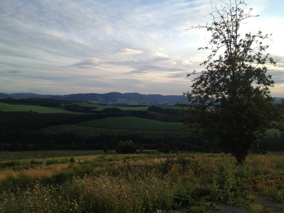
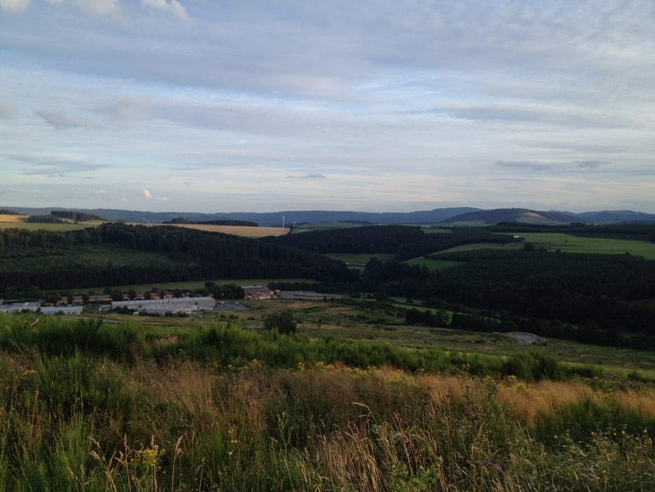
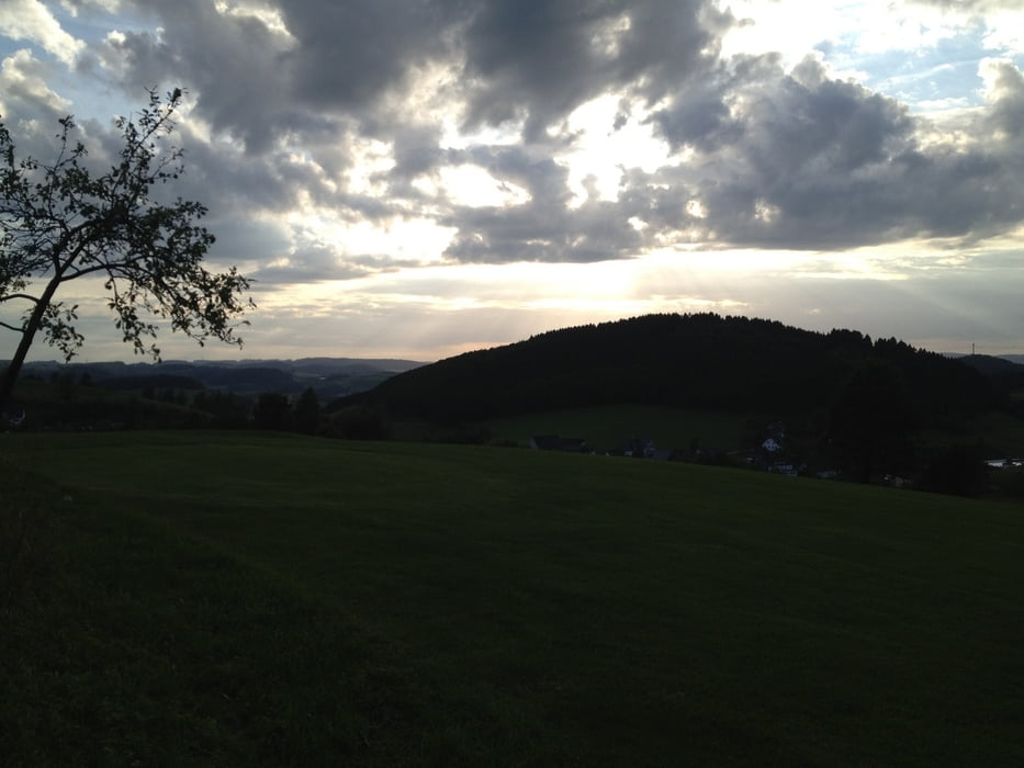
Forstweg-Bolz-Runde im Sauerland für Flachlandtiroler. Die Steigungen sind machbar und die Maßstäbe an die Fahrtechnik sind sehr gering. Hauptsächlich Schotter und Asphalt. Zwei kurze Passagen mit Gras sind dabei.
Diese Runde ist auch mit dieser Tour:
www.gps-tour.info/de/touren/detail.105525.html
kombinierbar.
Further information at
http://www.hof-heite.de/Tour gallery
Tour map and elevation profile
Minimum height 269 m
Maximum height 489 m
More about the tour author
|
|
Harm |
Comments

Im Navi Altenilpe eingeben, Start ist an der Kirche, kann man nicht verfehlen.
GPS tracks
Trackpoints-
GPX / Garmin Map Source (gpx) download
-
TCX / Garmin Training Center® (tcx) download
-
CRS / Garmin Training Center® (crs) download
-
Google Earth (kml) download
-
G7ToWin (g7t) download
-
TTQV (trk) download
-
Overlay (ovl) download
-
Fugawi (txt) download
-
Kompass (DAV) Track (tk) download
-
Track data sheet (pdf) download
-
Original file of the author (gpx) download
More about the tour author
|
|
Harm |
Add to my favorites
Remove from my favorites
Edit tags
Open track
My score
Rate