


längere Wanderung im Hinterland von Albenga
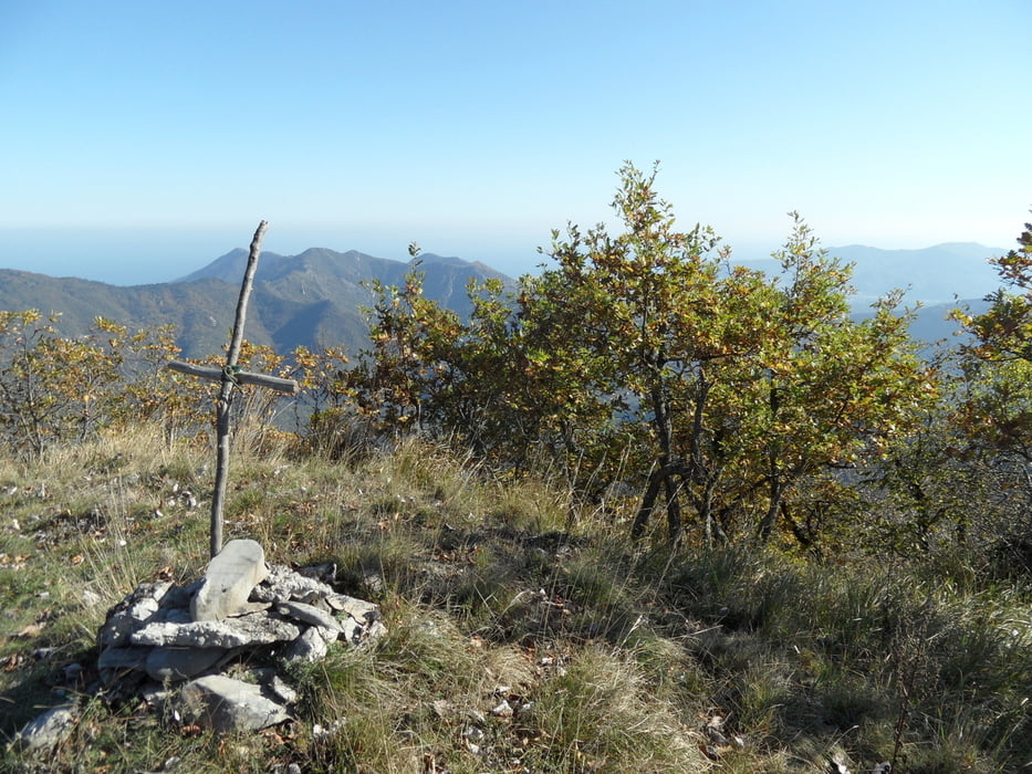
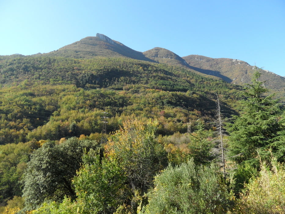
Start in Erli bei der Kirche auf 280müNN, auf Wanderweg zum Mt Alpe Ost 1050m
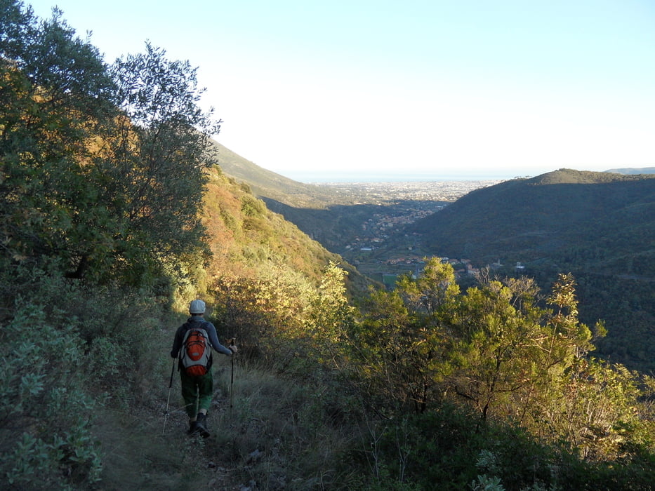
Auf der anderen Hangseite zurück nach Martinetto auf 100müNN.
Laufzeit für diese einfach Strecke war ca. 5Std., zurück haben wir das Auto in Erli mit dem Rad geholt, die Busverbindung ist leider recht schwach.
Von Zucarello geht ein Wanderweg +200hm nach Erli, uns war die einfach Strecke genug.
Ein Track dazu ist hier:
Further information at
/en/tracks/detail.5429.htmlTour gallery

Tour map and elevation profile
Minimum height 78 m
Maximum height 1055 m
More about the tour author
|
|
skyhopper |
Comments

Start in Erli
GPS tracks
Trackpoints-
GPX / Garmin Map Source (gpx) download
-
TCX / Garmin Training Center® (tcx) download
-
CRS / Garmin Training Center® (crs) download
-
Google Earth (kml) download
-
G7ToWin (g7t) download
-
TTQV (trk) download
-
Overlay (ovl) download
-
Fugawi (txt) download
-
Kompass (DAV) Track (tk) download
-
Track data sheet (pdf) download
-
Original file of the author (gpx) download
More about the tour author
|
|
skyhopper |
Add to my favorites
Remove from my favorites
Edit tags
Open track
My score
Rate