
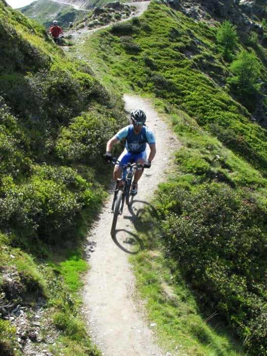

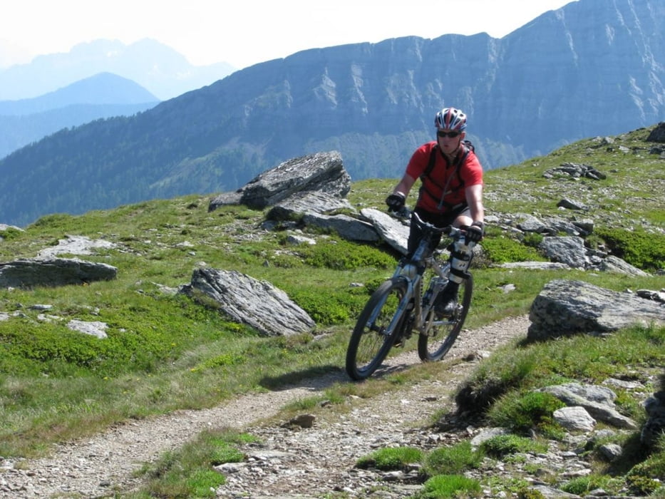
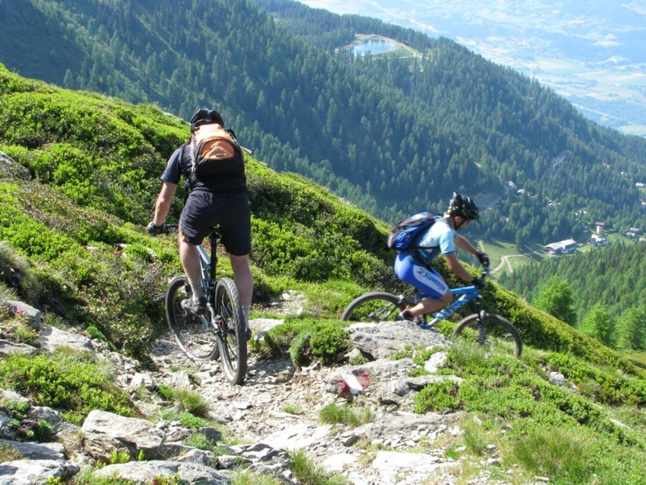
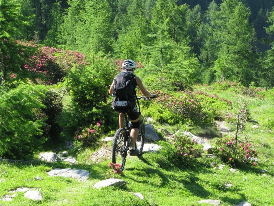
Tour starts with long uphill on unpaved road. You can park your car on parking at the bottom of cable car station. On the top there is nice cottage with good strudel and other cakes. Downhill is on the average not very difficult for bikers of all mountain category, but there are some short parts with S2 singletrail skala difficulty. About 1/3 of downhill is on the unpaved road, other part is trail. Somewhere in the middle of downhill you will probably think that track is wrong (small cottage on the left). Just proceed and follow the track. After short walk through bushes trail will continue. The bottom part of downhill is steep trail in the forest.Please take care not to leave traces of braking on the trail.
Further information at
http://84.255.207.31/gallery/v/uporabniki/pokora/goldeck2/Tour gallery
Tour map and elevation profile
Minimum height 561 m
Maximum height 2070 m
More about the tour author
|
|
cindro |
Comments

Tour starts in Spittal at cable car station.
GPS tracks
Trackpoints-
GPX / Garmin Map Source (gpx) download
-
TCX / Garmin Training Center® (tcx) download
-
CRS / Garmin Training Center® (crs) download
-
Google Earth (kml) download
-
G7ToWin (g7t) download
-
TTQV (trk) download
-
Overlay (ovl) download
-
Fugawi (txt) download
-
Kompass (DAV) Track (tk) download
-
Track data sheet (pdf) download
-
Original file of the author (gpx) download
More about the tour author
|
|
cindro |
Add to my favorites
Remove from my favorites
Edit tags
Open track
My score
Rate