
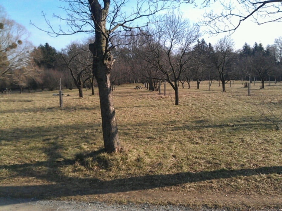

Wir starten in Wien und folgen dem Donaukanal bis zum Kahlenberg. Dort geht es dem Beethovenweg genmütlich rauf zur Sulzwiese. Wir beliben einige Zeit am Plateau weiter zur Jägerwiese und dann nach Hameau. Dann über dem Wilhelminenberg zum Steinhof. Zum Schluss folgt man dem Radweg im "Kanalgraben" nach Schönbrunn und wieder retour nach Wien.
Hier auch noch die lange variante mit mehr Höhenmeter: www.gps-tour.info/en/tracks/detail.94180.html
Tour gallery


Tour map and elevation profile
Minimum height 163 m
Maximum height 522 m
More about the tour author
|
|
keywan |
Comments

GPS tracks
Trackpoints-
GPX / Garmin Map Source (gpx) download
-
TCX / Garmin Training Center® (tcx) download
-
CRS / Garmin Training Center® (crs) download
-
Google Earth (kml) download
-
G7ToWin (g7t) download
-
TTQV (trk) download
-
Overlay (ovl) download
-
Fugawi (txt) download
-
Kompass (DAV) Track (tk) download
-
Track data sheet (pdf) download
-
Original file of the author (gpx) download
More about the tour author
|
|
keywan |
Add to my favorites
Remove from my favorites
Edit tags
Open track
My score
Rate