


- Schöne, nicht allzu schwierige Einsteigertour mit abwechslungsreicher Abfahrt.
- Fahrtrichtung: Im Uhrzeigersinn
- Start/Ziel: Goldrain nähe Bahnhof, am Vinschgauer-Radweg.
- KM 0 - 2,0 MH 663 - 826 ruhige, teils mittelsteile Teerstrasse durch Obstgärten.
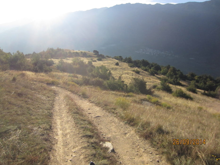
- KM 2 - 4,6 MH 826 - 1.066 Schotterstrasse bis Schloss Annenberg.
- KM 4,6-5,2 MH 1.066-1.111 höchster Punkt der Tour.(200 mt. steiler Schotterweg)
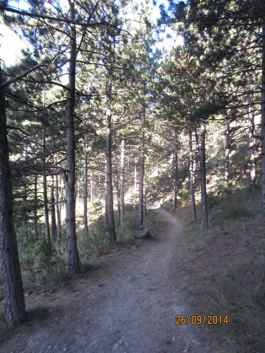
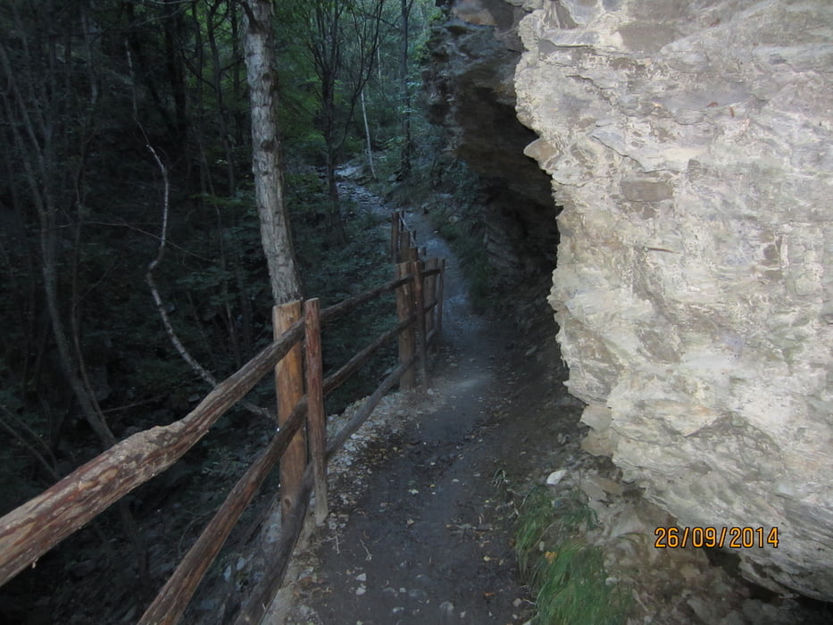
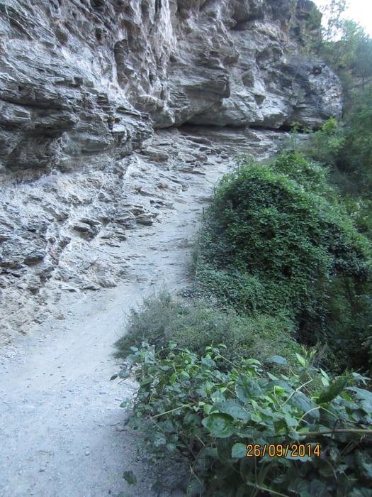
- KM 5,2-9,8 MH 1.111-780 abwechslungsreicher Trail über die Annenberger-Böden ins Tal zurück nach Goldrain.
- Trailbeschaffenheit: Flowige Passagen, Abschnitte mit Steinplatten, stellenweise schottriger, loser Untergrund. Schwierigkeitsgrad: S1-S2.
- KM 9,8-11,2 MH 780-660 auf geteerter Nebenstrasse zurück zum Ausgangspunkt.
Tour gallery
Tour map and elevation profile
Minimum height 660 m
Maximum height 1110 m
More about the tour author
|
|
MargesinFriedrich |
Comments

GPS tracks
Trackpoints-
GPX / Garmin Map Source (gpx) download
-
TCX / Garmin Training Center® (tcx) download
-
CRS / Garmin Training Center® (crs) download
-
Google Earth (kml) download
-
G7ToWin (g7t) download
-
TTQV (trk) download
-
Overlay (ovl) download
-
Fugawi (txt) download
-
Kompass (DAV) Track (tk) download
-
Track data sheet (pdf) download
-
Original file of the author (gpx) download
More about the tour author
|
|
MargesinFriedrich |
Add to my favorites
Remove from my favorites
Edit tags
Open track
My score
Rate