Login

Forgot your login?

Cookies have to be accepted!
Your browser's cookie functionality is disabled. Please enable this functionality.

Not a member yet?

Register now
Login

Available for registred users only

Log in to use this feature.

Forgot your login?

Cookies have to be accepted!
Your browser's cookie functionality is disabled. Please enable this functionality.

Not a member yet?

Register now
Filter
Categories
Advanced filters
  • Distance (km)
  • Height
Save filters Reset filter

TrackRank

QRCode

Technical data

Distance9,7 km Height600 m Way down554 m Duration04:32 h:m Date29.06.2012
Scores Author Landscape Fun factor Fitness Technique

Statistics

195 Views Scores 16 Downloads Average
Rate
  • Track data sheet
  • Directions
  • Downloads
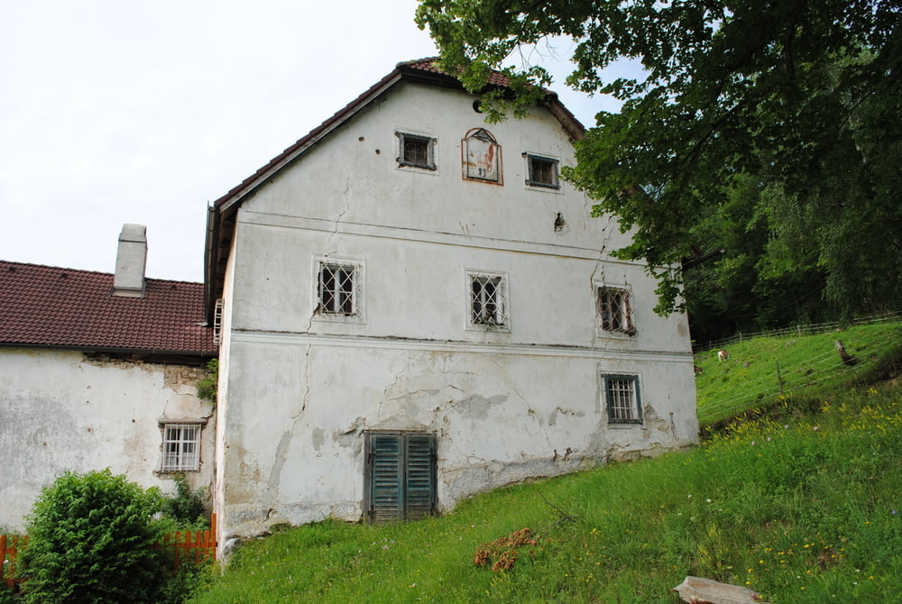
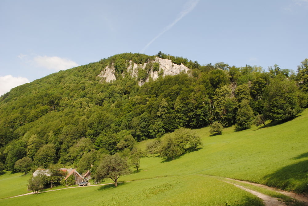
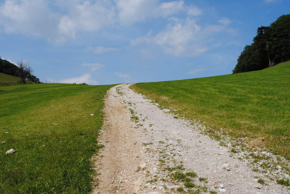
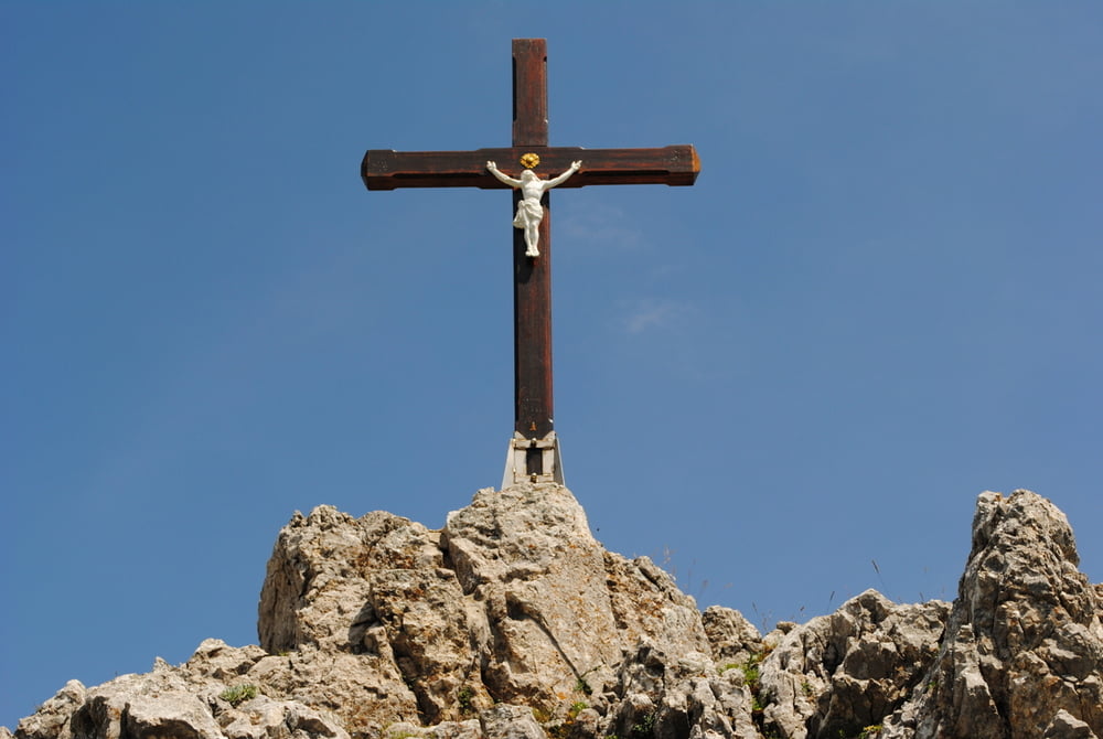
Start in Furth.Parkplatz hintern Kirchenwirt.Von der Kirche (rote Markierung) über eine lange,schöne Wiese  bis zu eine alten Bauernhaus (Amöd) und weiter bis zum Gaissteiner (Bauernhof )unterhalb des Gaissteins.Wir bleiben noch kurz auf rot,queren einen Wildzaun (Drehtüre)und bleiben auf der Forsstrasse bis zum höchsten Punkt. Dort beginnt rechts der unmarkierte Aufstieg steil auf den Gaisstein.Man muss ein bischen aufpassen um den Aufstiegsbeginn zu finden,eine Orientierungshilfe ist ein kleiner hölzerner Überstieg über einen Weidezaun.Oben am Gipfel steht ein hübsches Gipfelkreuz..Viel Platz ist am Gipfel nicht und man muss ein bischen aufpassen (Trittsicherheit) Zurück gleiche Strecke.

Tour gallery

Tour map and elevation profile

  • Open Street Map
  • Google
Minimum height 399 m Maximum height 985 m Detailed view

More about the tour author

LeoCheops
Member since 2008

Send private message

Comments

GPS tracks

Trackpoints
  • GPX / Garmin Map Source (gpx) download
  • TCX / Garmin Training Center® (tcx) download
  • CRS / Garmin Training Center® (crs) download
  • Google Earth (kml) download
  • G7ToWin (g7t) download
  • TTQV (trk) download
  • Overlay (ovl) download
  • Fugawi (txt) download
  • Kompass (DAV) Track (tk) download
  • Track data sheet (pdf) download
  • Original file of the author (gpx) download

More about the tour author

LeoCheops
Member since 2008

Send private message
Share track
Add to my favorites
Remove from my favorites
Edit tags
My score
Rate
Track: Von Furth auf den Gaisstein (28.06.2012)
Type: Mountain hiking
Distance: 9,7 km
Evaluated on:
Duration:
Day(s)
Hour(s)
Minute(s)
Score: Landscape Fun factor Fitness Technique