

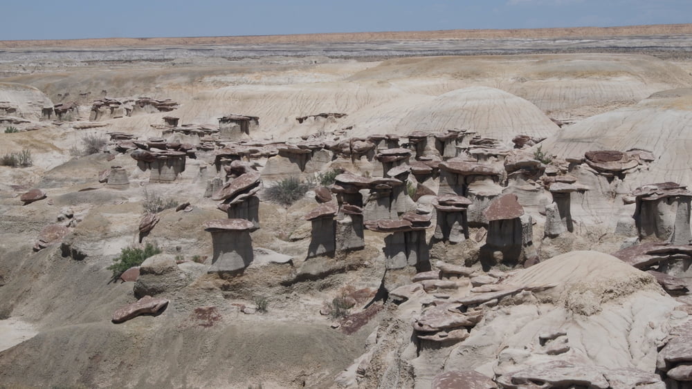

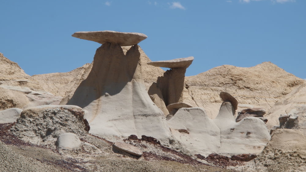
Ah-Shi-Sle-Pah is the hoodoo king of the San Juan Basin badlands.
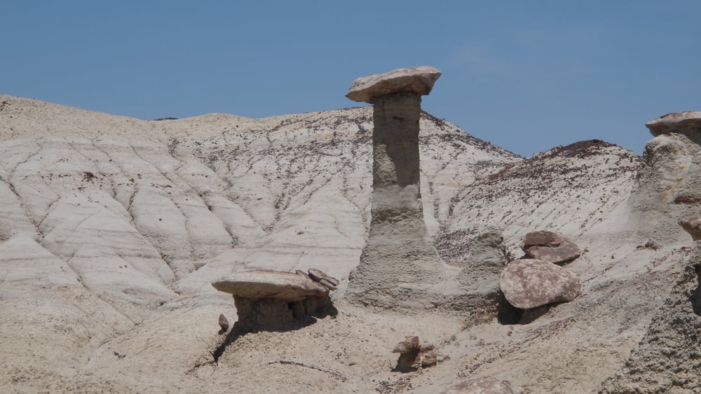
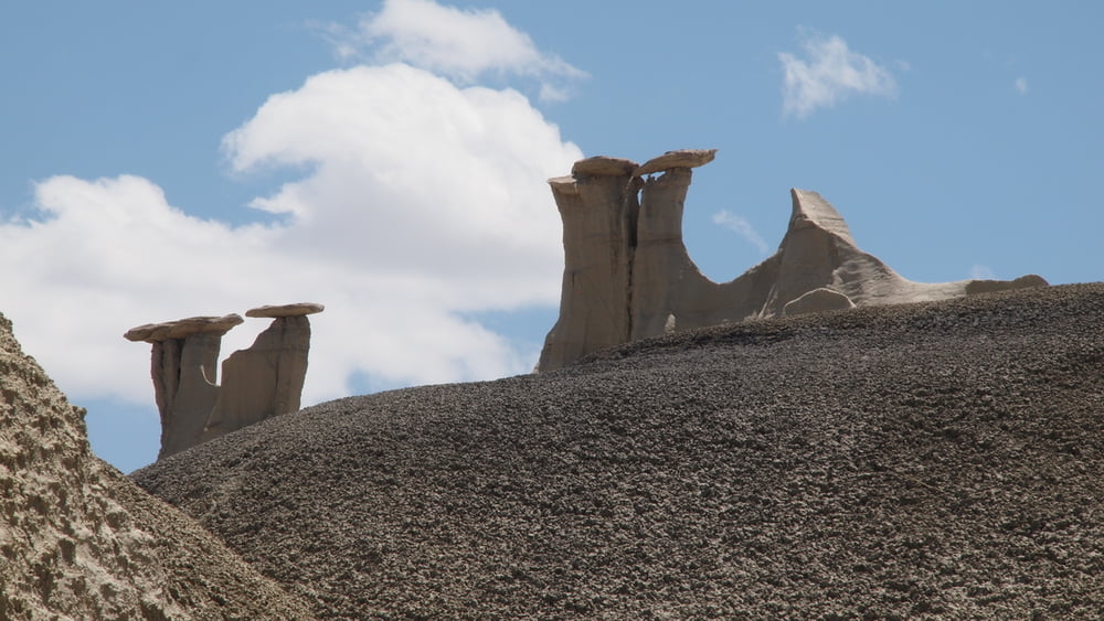
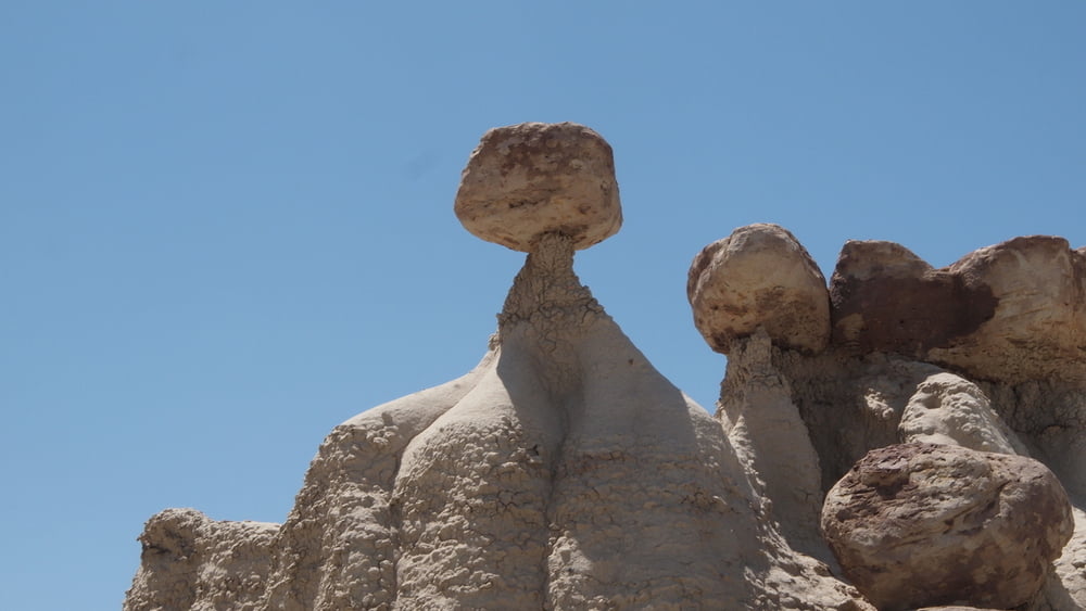
Multicolored badlands, eroded sandstone hoodoos and unique geological formations, many will love this place. A remote badland, but it offers the easiest hiking once you arrive.
Ah-Shi-Sle-Pah it’s a land of yellow cap rocks and scenic ochre or olive colored hills, beautiful and soft colors hardly seen elsewhere. True color names seen at Ah-Shi-Sle-Pah: burnt umber, yellow ochre, raw sienna, green oxide, burnt sienna, mars violet, charcoal grey, titanium white, red oxide and vermillion etc....Excellent, quiet area to make some beautiful pictures.
Multicolored badlands, eroded sandstone hoodoos and unique geological formations, many will love this place. A remote badland, but it offers the easiest hiking once you arrive.
Ah-Shi-Sle-Pah it’s a land of yellow cap rocks and scenic ochre or olive colored hills, beautiful and soft colors hardly seen elsewhere. True color names seen at Ah-Shi-Sle-Pah: burnt umber, yellow ochre, raw sienna, green oxide, burnt sienna, mars violet, charcoal grey, titanium white, red oxide and vermillion etc....Excellent, quiet area to make some beautiful pictures.
Tour gallery


Tour map and elevation profile
Minimum height 1857 m
Maximum height 1896 m
More about the tour author

|
willydn |
Comments

More about the tour author
|
|
willydn |
Add to my favorites
Remove from my favorites
Edit tags
Open track


My score
Rate