

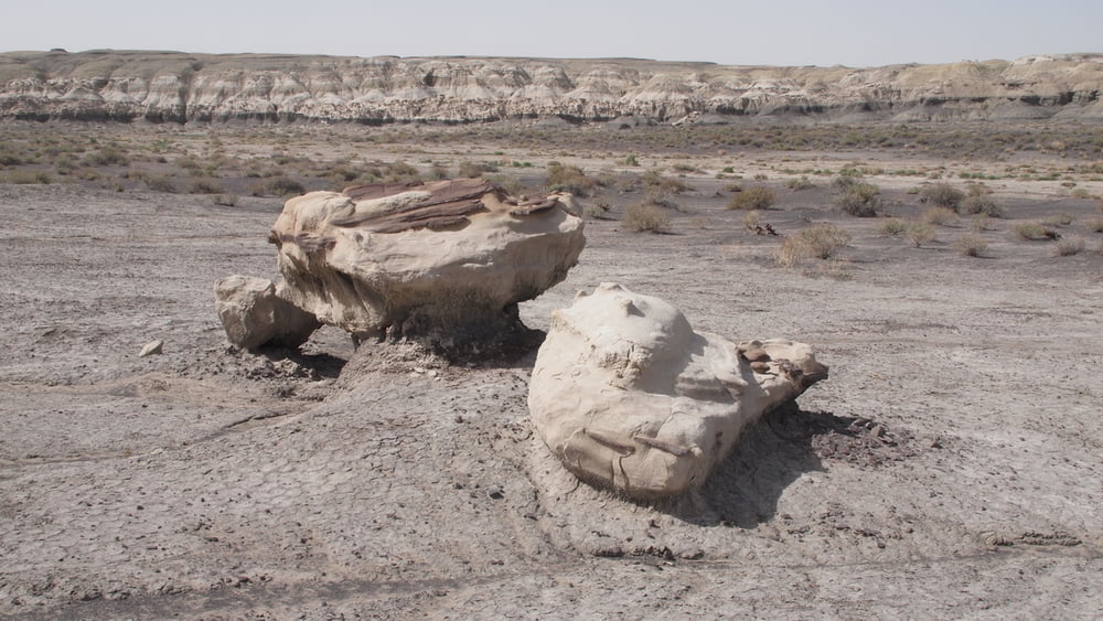

The Bisti Badlands South - Alamo wash
Seldom visited, unknown, the Bisti Wilderness offers some of the most unusual scenery found in the Four Corners region, one of the most scenic areas in New Mexico!
The Bisti Wilderness is a remote desolate area.
There are no hiking trails in the Bisti. Making use of a gps is the safest way not to get lost. Without gps the main wash is the best to keep track of your location.
After a rain hiking would be impossible due to the clay based soil.
After parking our vehicle at a small, graveled parking area, we hiked about a mile across an open area known as the Alamo or Gateway Wash into the heart of the Bisti.
When get lost you can always find your way back to your car by following the wash downstream (going west) till you hit the road.
The Bisti Badlands North - Hunter wash
Spring is windy season in the Southwest and sandstorms are common.
A sandstorm was the reason for making only a short hike in the Northern part of the Bisti Badlands. However we could get to "The Wings".
If visiting Bisti North, you certainly want to make a picture of the Wings, in this case follow the track which I added manually, mainly walking in the Hunter wash.
Tour gallery


Tour map and elevation profile
Minimum height 1734 m
Maximum height 1827 m
More about the tour author

|
willydn |
Comments

More about the tour author
|
|
willydn |
Add to my favorites
Remove from my favorites
Edit tags
Open track


My score
Rate