Login

Forgotten password?

Cookies have to be accepted!
Your browser's cookie functionality is disabled. Please enable this functionality.

Not a member yet?

Register now
Login

Available for registred users only

Log in to use this feature.

Forgotten password?

Cookies have to be accepted!
Your browser's cookie functionality is disabled. Please enable this functionality.

Not a member yet?

Register now
Filter
Categories
Advanced filters
  • Distance (km)
  • Height
Save filters Reset filter

TrackRank

QRCode

Technical data

Distance10,0 km Height633 m Way down668 m Duration03:40 h:m Date07.07.2012
Scores Author Landscape Fun factor Fitness Technique

Statistics

1754 Views Scores 204 Downloads Average
Rate
  • Track data sheet
  • Directions
  • Downloads

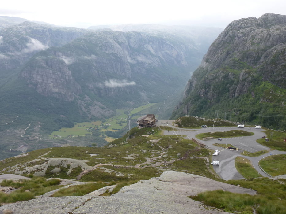
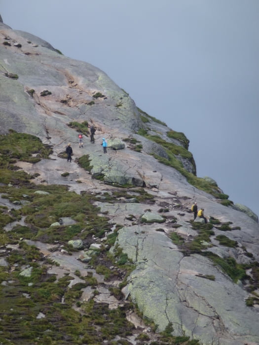
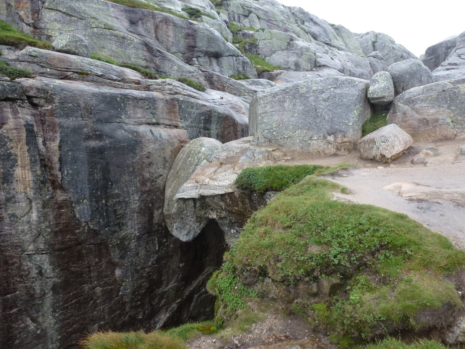
vom Aussichtsrestaurant Öygardstölen auf 640 mNN führt ein über längere Strecken kettengesicherter Bergpfad mit stellenweise leichten Klettereien auf das Felsplateau über dem Lysefjord zum Kjeragbolten, einem zwischen Felswänden eingeklemmten Felsblock.

Bei Nebel ist von einer Begehung (aus eigener dramatischer Erfahrung) dringendst abzuraten.

Tour gallery

Tour map and elevation profile

  • Open Street Map
  • Google
Minimum height 638 m Maximum height 1030 m Detailed view

More about the tour author

JonnyB
Member since 2008

Send private message

Comments

von Lysebotn die Serpentinenstraße hinauf zum Aussichtsrestaurant Öygardstölen (Adlernest). Dort großer gebührenpflichtiger Parkplatz.

GPS tracks

Trackpoints
  • GPX / Garmin Map Source (gpx) download
  • TCX / Garmin Training Center® (tcx) download
  • CRS / Garmin Training Center® (crs) download
  • Google Earth (kml) download
  • G7ToWin (g7t) download
  • TTQV (trk) download
  • Overlay (ovl) download
  • Fugawi (txt) download
  • Kompass (DAV) Track (tk) download
  • Track data sheet (pdf) download
  • Original file of the author (gpx) download

More about the tour author

JonnyB
Member since 2008

Send private message
Share track
Add to my favorites
Remove from my favorites
Edit tags
My score
Rate
Track: Bergwanderung zum Kjerag-Bolten
Type: Mountain hiking
Distance: 10,0 km
Evaluated on:
Duration:
Day(s)
Hour(s)
Minute(s)
Score: Landscape Fun factor Fitness Technique