

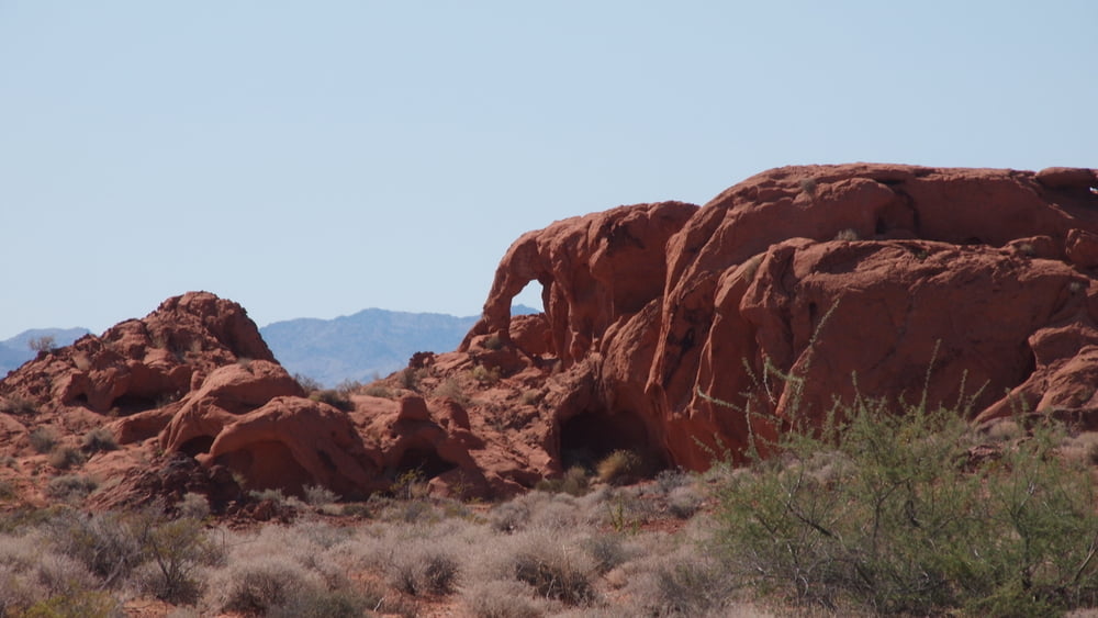

Nevada State Park, lots of information can be found on the internet.
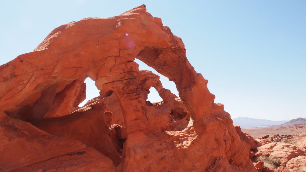
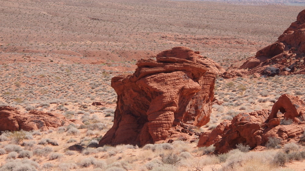
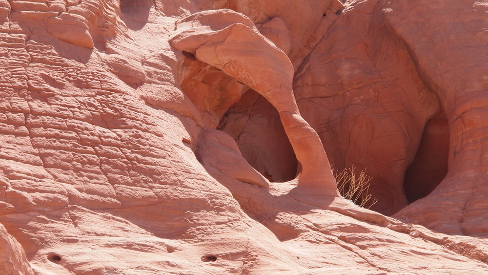
The visit to the Nevada State Park was done in 3 parts: Highway,White Domes Road, Hiking North of East Entrance.With the hike north of east entrance we wanted to look for both Pretzel @ Lighthouse Arch and the sitting elephant.
The visit to the Nevada State Park was done in 3 parts: Highway,White Domes Road, Hiking North of East Entrance.With the hike north of east entrance we wanted to look for both Pretzel @ Lighthouse Arch and the sitting elephant.
Tour gallery


Tour map and elevation profile
Minimum height 525 m
Maximum height 583 m
More about the tour author

|
willydn |
Comments

More about the tour author
|
|
willydn |
Add to my favorites
Remove from my favorites
Edit tags
Open track


My score
Rate